416 Dunlevy Ln Topping, VA 23169
Estimated Value: $725,977 - $980,000
3
Beds
2
Baths
2,058
Sq Ft
$405/Sq Ft
Est. Value
About This Home
This home is located at 416 Dunlevy Ln, Topping, VA 23169 and is currently estimated at $834,494, approximately $405 per square foot. 416 Dunlevy Ln is a home located in Middlesex County with nearby schools including Middlesex Elementary School, St. Clare Walker Middle School, and Middlesex High School.
Ownership History
Date
Name
Owned For
Owner Type
Purchase Details
Closed on
Sep 8, 2022
Sold by
Brice Michael W
Bought by
Michael W Brice Living Trust and Brice
Current Estimated Value
Purchase Details
Closed on
Mar 15, 2016
Sold by
The Barbara Jean Duszak Trust Dated Dece
Bought by
Brice Michael W
Home Financials for this Owner
Home Financials are based on the most recent Mortgage that was taken out on this home.
Original Mortgage
$337,500
Interest Rate
3.79%
Mortgage Type
Commercial
Create a Home Valuation Report for This Property
The Home Valuation Report is an in-depth analysis detailing your home's value as well as a comparison with similar homes in the area
Home Values in the Area
Average Home Value in this Area
Purchase History
| Date | Buyer | Sale Price | Title Company |
|---|---|---|---|
| Michael W Brice Living Trust | -- | None Listed On Document | |
| Brice Michael W | $450,000 | Attorney |
Source: Public Records
Mortgage History
| Date | Status | Borrower | Loan Amount |
|---|---|---|---|
| Previous Owner | Brice Michael W | $337,500 |
Source: Public Records
Tax History Compared to Growth
Tax History
| Year | Tax Paid | Tax Assessment Tax Assessment Total Assessment is a certain percentage of the fair market value that is determined by local assessors to be the total taxable value of land and additions on the property. | Land | Improvement |
|---|---|---|---|---|
| 2025 | $3,032 | $497,000 | $245,100 | $251,900 |
| 2024 | $3,032 | $497,000 | $245,100 | $251,900 |
| 2023 | $3,032 | $497,000 | $245,100 | $251,900 |
| 2022 | $3,032 | $497,000 | $245,100 | $251,900 |
| 2021 | $3,002 | $484,200 | $241,600 | $242,600 |
| 2020 | $2,847 | $459,200 | $241,600 | $217,600 |
| 2019 | $2,847 | $459,200 | $241,600 | $217,600 |
| 2018 | $54 | $459,200 | $241,600 | $217,600 |
| 2017 | $2,572 | $459,200 | $241,600 | $217,600 |
| 2016 | $2,470 | $466,100 | $240,100 | $226,000 |
| 2015 | -- | $0 | $0 | $0 |
| 2014 | -- | $0 | $0 | $0 |
| 2013 | -- | $0 | $0 | $0 |
Source: Public Records
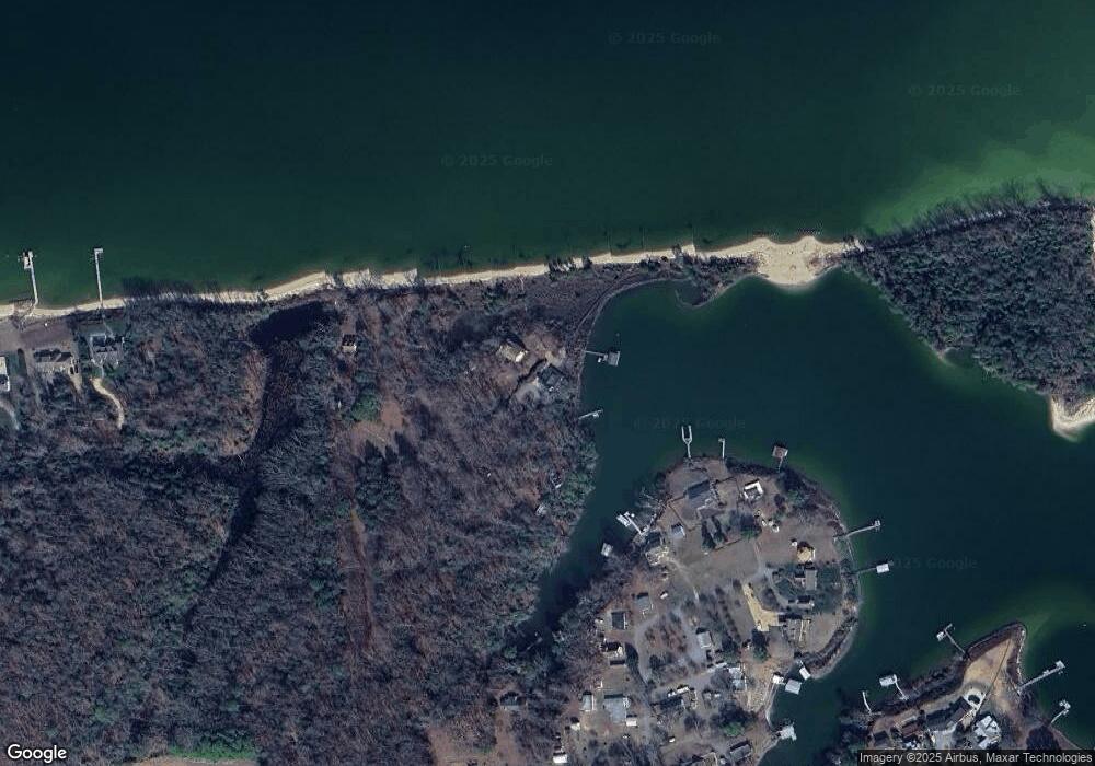
Map
Nearby Homes
- 1437 Locust Grove Rd
- 810 Long Point Ln
- Lot 3 Blakes Cove
- Lot 3 Hideaway Point Rd
- 180 Mechams Cove Rd
- 560 Eubank Landing Rd
- 32 Masons Cove Ln
- 00 Masons Cove Ln
- 155 Pinetop Rd
- 170 Rappa Run Rd
- 113 Rappa Run Rd
- 422 Syringa Rd
- 71 Egret Point Dr
- 708 Queens Point Dr
- 367 Barricks Mill Rd
- Map 3324C Sunset Dr
- 108 Spindrift Rd
- 115 Blue Barn Rd
- 289 King Carter Ln
- Lot 22 N Shore Rd
- 339 Dunlevy Ln
- 368 Dunlevy Ln
- 271 Cox Landing Rd
- 199 Cox Landing Rd
- 189 Cox Landing Rd
- 270 Cox Landing Rd
- 171 Cox Landing Rd
- 161 Cox Landing Rd
- 289 Dunlevy Ln
- 240 Cox Landing Rd
- 157 Cox Landing Rd
- 150 Cox Landing Rd
- 153 Cox Landing Rd
- 238 Cox Landing Rd
- 224 Cox Landing Rd
- 129 Cox Landing Rd
- 118 Cox Landing Rd
- 122 Cox Landing Rd
- 443 Holly Bank Rd
- 1387 Locust Grove Rd