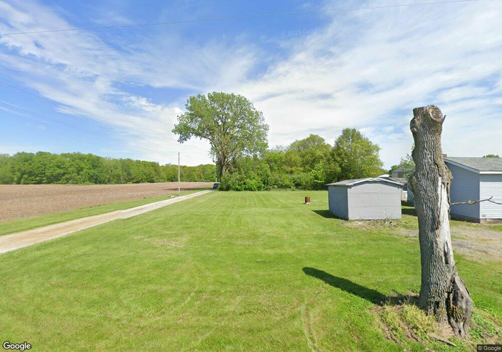
4162 Dole Rd Mattoon, IL 61938
Estimated Value: $187,435 - $222,000
3
Beds
2
Baths
1,620
Sq Ft
$130/Sq Ft
Est. Value
About This Home
This home is located at 4162 Dole Rd, Mattoon, IL 61938 and is currently estimated at $210,609, approximately $130 per square foot. 4162 Dole Rd is a home located in Coles County with nearby schools including Mattoon High School.
Ownership History
Date
Name
Owned For
Owner Type
Purchase Details
Closed on
Jun 19, 2013
Sold by
Oakley Timothy Joseph and Oakley Annette
Bought by
Latch Jacob C and Latch Amanda M
Current Estimated Value
Home Financials for this Owner
Home Financials are based on the most recent Mortgage that was taken out on this home.
Original Mortgage
$122,000
Outstanding Balance
$88,085
Interest Rate
3.83%
Mortgage Type
VA
Estimated Equity
$122,524
Create a Home Valuation Report for This Property
The Home Valuation Report is an in-depth analysis detailing your home's value as well as a comparison with similar homes in the area
Purchase History
| Date | Buyer | Sale Price | Title Company |
|---|---|---|---|
| Latch Jacob C | $122,000 | None Available |
Source: Public Records
Mortgage History
| Date | Status | Borrower | Loan Amount |
|---|---|---|---|
| Open | Latch Jacob C | $122,000 |
Source: Public Records
Tax History
| Year | Tax Paid | Tax Assessment Tax Assessment Total Assessment is a certain percentage of the fair market value that is determined by local assessors to be the total taxable value of land and additions on the property. | Land | Improvement |
|---|---|---|---|---|
| 2024 | -- | $37,181 | $9,782 | $27,399 |
| 2023 | -- | $33,197 | $8,734 | $24,463 |
| 2022 | -- | $32,649 | $8,590 | $24,059 |
| 2020 | $1,717 | $31,072 | $8,175 | $22,897 |
| 2019 | $1,717 | $29,989 | $7,890 | $22,099 |
| 2018 | $1,717 | $29,989 | $7,890 | $22,099 |
| 2017 | $1,717 | $29,989 | $7,890 | $22,099 |
| 2016 | $2,108 | $29,989 | $7,890 | $22,099 |
| 2015 | $1,676 | $29,989 | $7,890 | $22,099 |
| 2014 | $1,676 | $29,989 | $7,890 | $22,099 |
| 2013 | $1,676 | $29,989 | $7,890 | $22,099 |
Source: Public Records
Map
Nearby Homes
- 9 Joan Marie Dr
- 3028 N County Road 150e
- 1909 Scenic Ln
- 2029 E Co Road 250 N
- 2376 N County Road 190e
- 916 S 36th St
- 3512 Walnut Ave
- 3412 Willow Dr
- 3112 Oak Ave
- 3304 Marion Ave
- 3816 Western Ave
- 720 S 25th St
- 716 S 24th St
- 3216 Western Ave
- 2800 Pine Ave
- 2505 Pine Ave
- 3012 Richmond Ave
- 2221 Charleston Ave
- 2502 Pine Ave
- 113 S 25th St
- 2075 Paradise Rd
- 2121 Paradise Rd
- 4148 Dole Rd
- 2273 Paradise Rd
- 4166 Dole Rd
- 2241 Paradise Rd
- 4019 Dole Rd
- 2184 Paradise Rd
- 2086 Paradise Rd
- 3839 Dole Rd
- 2279 Paradise Rd
- 1938 Paradise Rd
- 2388 Robert Todd Rd
- 1854 Paradise Rd
- 2401 Robert Todd Ln
- 2401 Robert Todd Rd
- 2418 Robert Todd Rd
- 2198 Old State Rd
- 2212 Old State Rd
- 4351 Mary Todd Rd
