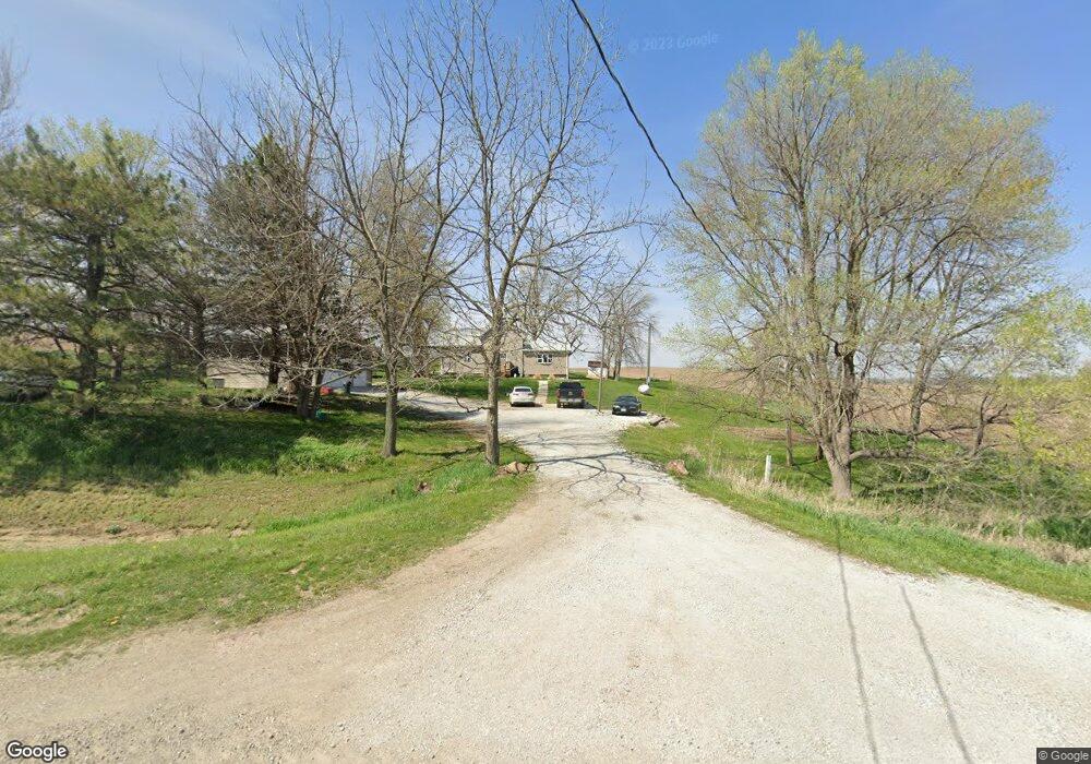
4162 Highway F62 W Monroe, IA 50170
Estimated Value: $217,558 - $286,000
3
Beds
1
Bath
1,917
Sq Ft
$135/Sq Ft
Est. Value
About This Home
This home is located at 4162 Highway F62 W, Monroe, IA 50170 and is currently estimated at $259,640, approximately $135 per square foot. 4162 Highway F62 W is a home located in Jasper County with nearby schools including PCM High School.
Ownership History
Date
Name
Owned For
Owner Type
Purchase Details
Closed on
Dec 14, 2007
Sold by
Strovers Sean M
Bought by
Owens Randy M and Owens Tina M
Current Estimated Value
Home Financials for this Owner
Home Financials are based on the most recent Mortgage that was taken out on this home.
Original Mortgage
$31,500
Outstanding Balance
$19,907
Interest Rate
6.27%
Mortgage Type
New Conventional
Estimated Equity
$239,733
Create a Home Valuation Report for This Property
The Home Valuation Report is an in-depth analysis detailing your home's value as well as a comparison with similar homes in the area
Home Values in the Area
Average Home Value in this Area
Purchase History
| Date | Buyer | Sale Price | Title Company |
|---|---|---|---|
| Owens Randy M | $35,000 | None Available |
Source: Public Records
Mortgage History
| Date | Status | Borrower | Loan Amount |
|---|---|---|---|
| Open | Owens Randy M | $31,500 |
Source: Public Records
Tax History Compared to Growth
Tax History
| Year | Tax Paid | Tax Assessment Tax Assessment Total Assessment is a certain percentage of the fair market value that is determined by local assessors to be the total taxable value of land and additions on the property. | Land | Improvement |
|---|---|---|---|---|
| 2025 | $1,876 | $175,330 | $62,000 | $113,330 |
| 2024 | $1,876 | $151,690 | $43,440 | $108,250 |
| 2023 | $1,822 | $151,690 | $43,440 | $108,250 |
| 2022 | $1,668 | $128,590 | $43,440 | $85,150 |
| 2021 | $1,306 | $118,290 | $43,440 | $74,850 |
| 2020 | $1,306 | $84,000 | $33,160 | $50,840 |
| 2019 | $1,130 | $67,580 | $0 | $0 |
| 2018 | $1,130 | $66,310 | $0 | $0 |
| 2017 | $1,116 | $66,310 | $0 | $0 |
| 2016 | $1,116 | $66,310 | $0 | $0 |
| 2015 | $1,046 | $66,310 | $0 | $0 |
| 2014 | $1,002 | $66,310 | $0 | $0 |
Source: Public Records
Map
Nearby Homes
- 6719 S 104th Ave W
- 601 N Commerce St
- 213 W Lincoln St
- 307 E Lincoln St
- 413 N Buchanan St
- 411 N Virginia St
- 410 E Washington St
- 701 W Washington St
- 424 Newton St
- 301 W Sherman St
- 606 W South St
- 734 Taylor St
- 730 Taylor St
- 728 Taylor St
- 726 Taylor St
- 724 Taylor St
- 722 Taylor St
- 720 Taylor St
- 718 Taylor St
- 716 Taylor St
- 4187 Highway F62 W
- 3852 Highway F62 W
- 8893 Highway 14 S
- 4716 Highway F62 W
- 8780 Highway 14 S
- 9103 Highway 14 S
- 9103 Iowa 14
- 8259 Highway 14 S
- 5316 Highway F62 W
- 9305 Highway 14 S
- 5493 Highway F62 W
- 3167 Highway F62 W
- 8149 Highway 14 S
- 2936 Highway F62 W
- 9078 W 56th St S
- 8104 Highway 14 S
- 8200 W 52nd St S