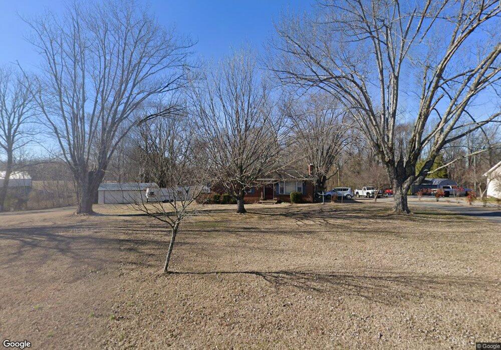
4162 Old Highway 52 Lafayette, TN 37083
Estimated Value: $201,118 - $270,000
--
Bed
1
Bath
1,118
Sq Ft
$216/Sq Ft
Est. Value
About This Home
This home is located at 4162 Old Highway 52, Lafayette, TN 37083 and is currently estimated at $241,030, approximately $215 per square foot. 4162 Old Highway 52 is a home located in Macon County with nearby schools including Lighthouse Academy.
Ownership History
Date
Name
Owned For
Owner Type
Purchase Details
Closed on
Jun 15, 1993
Bought by
West Carlos Lee and Linda Faye
Current Estimated Value
Purchase Details
Closed on
Oct 28, 1991
Bought by
Dies Michael
Purchase Details
Closed on
Jul 24, 1987
Bought by
Dies Michael and Dies Debbie
Purchase Details
Closed on
May 12, 1968
Bought by
Jenkins Ray
Purchase Details
Closed on
Jan 7, 1960
Create a Home Valuation Report for This Property
The Home Valuation Report is an in-depth analysis detailing your home's value as well as a comparison with similar homes in the area
Home Values in the Area
Average Home Value in this Area
Purchase History
| Date | Buyer | Sale Price | Title Company |
|---|---|---|---|
| West Carlos Lee | $47,000 | -- | |
| Dies Michael | -- | -- | |
| Dies Michael | $34,000 | -- | |
| Jenkins Ray | -- | -- | |
| -- | -- | -- |
Source: Public Records
Tax History Compared to Growth
Tax History
| Year | Tax Paid | Tax Assessment Tax Assessment Total Assessment is a certain percentage of the fair market value that is determined by local assessors to be the total taxable value of land and additions on the property. | Land | Improvement |
|---|---|---|---|---|
| 2024 | $621 | $43,975 | $13,700 | $30,275 |
| 2023 | $621 | $43,975 | $0 | $0 |
| 2022 | $510 | $21,250 | $6,175 | $15,075 |
| 2021 | $510 | $21,250 | $6,175 | $15,075 |
| 2020 | $510 | $21,250 | $6,175 | $15,075 |
| 2019 | $510 | $21,250 | $6,175 | $15,075 |
| 2018 | $470 | $21,250 | $6,175 | $15,075 |
| 2017 | $504 | $20,000 | $5,800 | $14,200 |
| 2016 | $480 | $20,000 | $5,800 | $14,200 |
| 2015 | $480 | $20,000 | $5,800 | $14,200 |
| 2014 | $486 | $20,232 | $0 | $0 |
Source: Public Records
Map
Nearby Homes
- 0 Highway 52 W Unit RTC2515576
- 0 Hwy 52 Bypass West W
- 4901 Highway 52 W
- 323 Cheney Ln
- 221 Creekside Ln
- 6606 Highway 52 W
- 4650 Highway 52 Bypass W
- 6704 Highway 52 W
- 158 Fox Run Ln
- 288 Fox Run Ln
- 0 Carter Rd
- 580 Fox Run Ln
- 615 Fox Run Ln
- 2134 Oakdale Rd
- 213 David Ln
- 625 White Hollow Ln
- 779 Oakdale Rd
- 2268 Old Highway 52
- 2486 Oakdale Rd
- 2590 Oakdale Rd
- 4134 Old Highway 52
- 0 Old Hwy 52 W Unit RTC2619135
- 4114 Old Highway 52
- 4090 Old Highway 52
- 4238 Old Highway 52
- 4064 Old Highway 52
- 5701 Highway 52 W
- 5551 Highway 52 W
- 4032 Old Highway 52
- 0 Old Hwy 52west W
- 4312 Old Highway 52
- 0 Highway 52 W Unit RTC1839105
- 0 Highway 52 W Unit RTC1829526
- 0 Highway 52 W Unit RTC2301790
- 0 Highway 52 W Unit 2284420
- 0 Highway 52 W Unit 2282454
- 0 Highway 52 W Unit 2267631
- 0 Highway 52 W Unit 2248959
- 0 Highway 52 W Unit 2028286
- 1 Cedar Bluff Rd