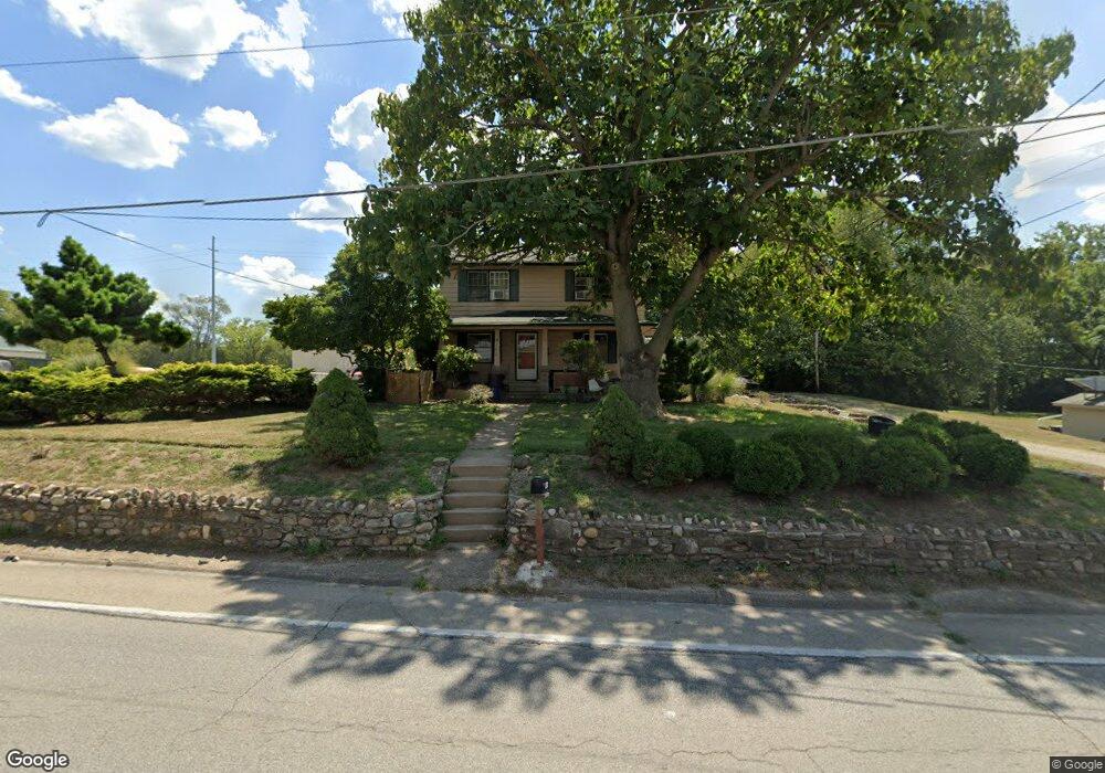
4162 Round Bottom Rd Cincinnati, OH 45244
Estimated Value: $70,077
Studio
2
Baths
--
Sq Ft
187,308
Sq Ft Lot
About This Home
This home is located at 4162 Round Bottom Rd, Cincinnati, OH 45244 and is currently estimated at $70,077. 4162 Round Bottom Rd is a home located in Hamilton County with nearby schools including Mercer Elementary School, Nagel Middle School, and Turpin High School.
Ownership History
Date
Name
Owned For
Owner Type
Purchase Details
Closed on
Nov 4, 2016
Sold by
Bee Holdings Ltd Ptshp
Bought by
Ancor Rental Co Llc
Current Estimated Value
Purchase Details
Closed on
Feb 25, 2011
Sold by
Louiso Properties Llc
Bought by
B E E Holdings Limited Partnership
Purchase Details
Closed on
Apr 30, 2010
Sold by
Bowen Mark R and Bowen Paul B
Bought by
Louiso Properties Llc
Create a Home Valuation Report for This Property
The Home Valuation Report is an in-depth analysis detailing your home's value as well as a comparison with similar homes in the area
Home Values in the Area
Average Home Value in this Area
Purchase History
| Date | Buyer | Sale Price | Title Company |
|---|---|---|---|
| Ancor Rental Co Llc | -- | -- | |
| B E E Holdings Limited Partnership | $30,000 | Attorney | |
| Louiso Properties Llc | $42,700 | Attorney |
Source: Public Records
Tax History
| Year | Tax Paid | Tax Assessment Tax Assessment Total Assessment is a certain percentage of the fair market value that is determined by local assessors to be the total taxable value of land and additions on the property. | Land | Improvement |
|---|---|---|---|---|
| 2025 | $1,265 | $12,352 | $12,352 | -- |
| 2023 | $1,213 | $12,352 | $12,352 | $0 |
| 2022 | $1,090 | $11,050 | $11,050 | $0 |
| 2021 | $1,087 | $11,050 | $11,050 | $0 |
| 2020 | $1,078 | $11,050 | $11,050 | $0 |
| 2019 | $1,062 | $10,325 | $10,325 | $0 |
| 2018 | $1,015 | $10,325 | $10,325 | $0 |
| 2017 | $983 | $10,325 | $10,325 | $0 |
| 2016 | $977 | $10,290 | $10,290 | $0 |
| 2015 | $960 | $10,290 | $10,290 | $0 |
| 2014 | $953 | $10,290 | $10,290 | $0 |
| 2013 | $913 | $10,500 | $10,500 | $0 |
Source: Public Records
Map
Nearby Homes
- 0 Pearl St Unit 1225343
- 0 Pearl St Unit 1841806
- 3 Noel Ln
- 2 Mount Carmel Rd
- 3420 Oyster Bay Ct
- 141 Wrenwood Ln
- 822 Stanton Ave
- 4085 Walton Creek Rd
- 7410 Orchard St
- 7412 Orchard St
- 7411 Elm St
- 7408 Orchard St
- 7406 Orchard St
- 2 Kris Cir
- 9280 Indian Hill Rd
- 602 Stanton Ave
- 11 Spring Hill Dr
- 4885 Beechwood Rd
- 8815 Old Indian Hill Rd
- 9200 Indian Hill Rd
- 4150 Round Bottom Rd
- 4118 Round Bottom Rd
- 4178 Round Bottom Rd
- 7899 Ymca Rd
- 4140 Round Bottom Rd
- 7894 Ymca Rd
- 4136 Round Bottom Rd
- 4138 Round Bottom Rd
- 4138 Round Bottom Rd
- 4138 Round Bottom Rd
- 4138 Round Bottom Rd
- 4130 Round Bottom Rd
- 7885 Ymca Rd
- 4124 Round Bottom Rd
- 7893 Anchor Rd
- 7887 Anchor Rd
- 7973 Broadwell Rd
- 7882 Ymca Rd
- 4116 Round Bottom Rd
- 7892 Anchor Rd
Your Personal Tour Guide
Ask me questions while you tour the home.