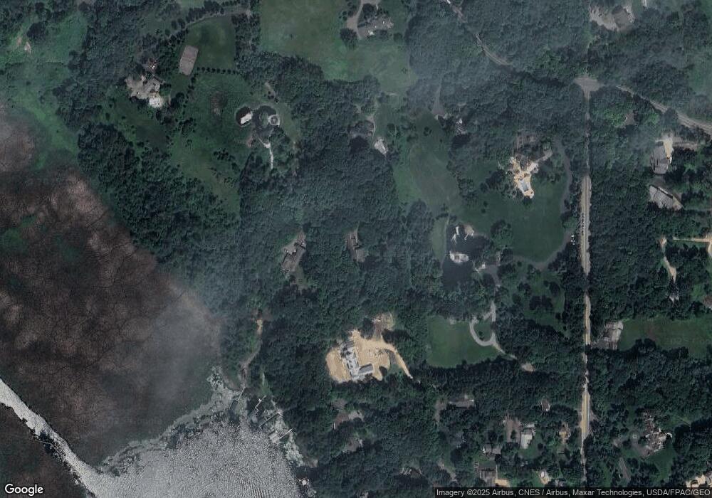
4165 Bayside Rd Maple Plain, MN 55359
Estimated Value: $1,065,000 - $1,190,000
4
Beds
5
Baths
4,487
Sq Ft
$251/Sq Ft
Est. Value
About This Home
This home is located at 4165 Bayside Rd, Maple Plain, MN 55359 and is currently estimated at $1,127,035, approximately $251 per square foot. 4165 Bayside Rd is a home located in Hennepin County with nearby schools including Schumann Elementary School, Orono Intermediate Elementary School, and Orono Middle School.
Ownership History
Date
Name
Owned For
Owner Type
Purchase Details
Closed on
Nov 12, 2021
Sold by
Netishen Steven M and Netishen Kelly J
Bought by
Lackore Cody D
Current Estimated Value
Home Financials for this Owner
Home Financials are based on the most recent Mortgage that was taken out on this home.
Original Mortgage
$690,000
Outstanding Balance
$640,271
Interest Rate
3.95%
Mortgage Type
New Conventional
Estimated Equity
$486,764
Purchase Details
Closed on
Apr 20, 2016
Sold by
Alt Marie A and Alt James A
Bought by
Netishen Steven M and Netishen Kelly J
Home Financials for this Owner
Home Financials are based on the most recent Mortgage that was taken out on this home.
Original Mortgage
$417,000
Interest Rate
3.61%
Mortgage Type
New Conventional
Create a Home Valuation Report for This Property
The Home Valuation Report is an in-depth analysis detailing your home's value as well as a comparison with similar homes in the area
Home Values in the Area
Average Home Value in this Area
Purchase History
| Date | Buyer | Sale Price | Title Company |
|---|---|---|---|
| Lackore Cody D | $920,000 | Burnet Title | |
| Netishen Steven M | $630,000 | Burnet Title |
Source: Public Records
Mortgage History
| Date | Status | Borrower | Loan Amount |
|---|---|---|---|
| Open | Lackore Cody D | $690,000 | |
| Previous Owner | Netishen Steven M | $417,000 |
Source: Public Records
Tax History
| Year | Tax Paid | Tax Assessment Tax Assessment Total Assessment is a certain percentage of the fair market value that is determined by local assessors to be the total taxable value of land and additions on the property. | Land | Improvement |
|---|---|---|---|---|
| 2024 | $10,720 | $987,700 | $337,500 | $650,200 |
| 2023 | $10,880 | $1,036,200 | $382,500 | $653,700 |
| 2022 | $8,020 | $928,000 | $320,000 | $608,000 |
| 2021 | $7,851 | $702,000 | $248,000 | $454,000 |
| 2020 | $7,764 | $690,000 | $239,000 | $451,000 |
| 2019 | $7,854 | $657,000 | $213,000 | $444,000 |
| 2018 | $7,961 | $638,000 | $207,000 | $431,000 |
| 2017 | $10,916 | $852,000 | $230,000 | $622,000 |
| 2016 | $10,527 | $825,000 | $255,000 | $570,000 |
| 2015 | $11,367 | $885,000 | $315,000 | $570,000 |
| 2014 | -- | $862,000 | $315,000 | $547,000 |
Source: Public Records
Map
Nearby Homes
- 365 W Lake St
- 348 W Lake St
- 305 N Shore Dr W
- 285 N Shore Dr W
- 1074 Wildhurst Trail
- 4824 Red Oak Ln
- XXXX Orchard Park Rd
- 1145 Tonkawa Rd
- 640 Orchard Park Rd
- 000 Park Dr
- 4736 N Shore Dr
- 4435 N Shore Dr
- 1545 Minnie Ave
- 2845 Watertown Rd
- 3705 N Shore Dr
- 995 Honey Hill
- 2780 White Oak Cir
- 675 Clarence Ave
- 2845 Little Orchard Way
- 285 N Old Crystal Bay Rd
- 4165 4165 Bayside Rd
- 4185 Bayside Rd
- 425 Tonkawa Rd
- 425 425 Tonkawa Rd
- 4135 Bayside Rd
- 445 Linden Ave
- 4045 Bayside Rd
- 465 Linden Ave
- 465 Linden Ave
- 458 458 Linden Ave
- xxxx Bayside
- 315 Tonkawa Rd
- 4119 Oak St
- 480 Linden Ave
- 480 480 Linden Ave
- 4105 Bayside Rd
- 4125 Bayside Rd
- 4125 Bayside Rd
- 4111 Oak St
- 455 Tonkawa Rd
