4168 St Andrews Rd Boynton Beach, FL 33436
Pine Tree NeighborhoodEstimated Value: $1,319,096
3
Beds
4
Baths
3,367
Sq Ft
$392/Sq Ft
Est. Value
About This Home
This home is located at 4168 St Andrews Rd, Boynton Beach, FL 33436 and is currently priced at $1,319,096, approximately $391 per square foot. 4168 St Andrews Rd is a home located in Palm Beach County with nearby schools including Crosspointe Elementary School, Boynton Beach Community High School, and Congress Community Middle School.
Ownership History
Date
Name
Owned For
Owner Type
Purchase Details
Closed on
Mar 7, 2024
Sold by
Keefer Melissa
Bought by
Keefer Family Revocable Trust and Keefer
Current Estimated Value
Purchase Details
Closed on
Aug 16, 2004
Sold by
Asbeck Frederick S and Asbeck Marjorie
Bought by
Keefer Phillip and Keefer Melissa
Home Financials for this Owner
Home Financials are based on the most recent Mortgage that was taken out on this home.
Original Mortgage
$333,700
Interest Rate
5.92%
Mortgage Type
Purchase Money Mortgage
Create a Home Valuation Report for This Property
The Home Valuation Report is an in-depth analysis detailing your home's value as well as a comparison with similar homes in the area
Home Values in the Area
Average Home Value in this Area
Purchase History
| Date | Buyer | Sale Price | Title Company |
|---|---|---|---|
| Keefer Family Revocable Trust | -- | None Listed On Document | |
| Keefer Family Revocable Trust | -- | None Listed On Document | |
| Keefer Phillip | $597,500 | -- | |
| Keefer Phillip | $597,500 | -- |
Source: Public Records
Mortgage History
| Date | Status | Borrower | Loan Amount |
|---|---|---|---|
| Previous Owner | Keefer Phillip | $333,700 | |
| Closed | Keefer Phillip | $100,000 |
Source: Public Records
Tax History Compared to Growth
Tax History
| Year | Tax Paid | Tax Assessment Tax Assessment Total Assessment is a certain percentage of the fair market value that is determined by local assessors to be the total taxable value of land and additions on the property. | Land | Improvement |
|---|---|---|---|---|
| 2025 | $9,527 | $620,519 | -- | -- |
| 2024 | $9,527 | $603,031 | -- | -- |
| 2023 | $9,306 | $585,467 | $0 | $0 |
| 2022 | $9,322 | $568,415 | $0 | $0 |
| 2021 | $9,293 | $551,859 | $0 | $0 |
| 2020 | $9,238 | $544,240 | $0 | $0 |
| 2019 | $9,133 | $532,004 | $0 | $0 |
| 2018 | $8,682 | $522,084 | $0 | $0 |
| 2017 | $8,611 | $511,346 | $0 | $0 |
| 2016 | $8,648 | $500,829 | $0 | $0 |
| 2015 | $8,910 | $499,697 | $0 | $0 |
| 2014 | $8,935 | $495,731 | $0 | $0 |
Source: Public Records
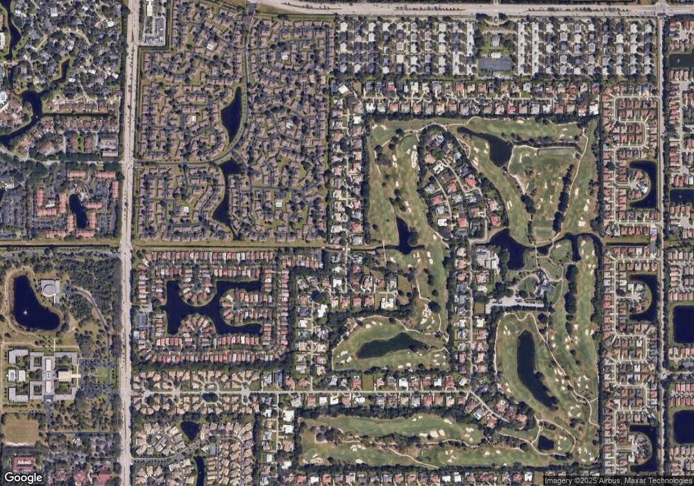
Map
Nearby Homes
- 10110 42nd Way S Unit 168
- 10119 42nd Terrace S Unit 129
- 10137 40th Way S Unit 233
- 10306 Greentrail Dr N
- 10164 40th Way S Unit 256
- 4379 Saint Andrews Dr
- 10170 40th Way S Unit 258
- 10168 40th Trail S Unit 278
- 10438 Prestwick Rd
- 4260 Mango Tree Ct Unit B
- 10261 Lexington Lakes Blvd S
- 10300 Prestwick Rd
- 10146 44th Terrace S Unit 354
- 8814 40th Terrace S
- 10126 44th Terrace S
- 9975 Ligustrum Tree Way Unit B
- 4180 Mango Tree Ct Unit B
- 10315 Lexington Lakes Blvd S
- 10393 Lexington Cir S
- 10109 44th Dr S
- 4168 Saint Andrews Dr
- 4170 Saint Andrews Dr
- 4185 Saint Andrews Dr
- 4211 Saint Andrews Dr
- 4238 Saint Andrews Dr
- 4169 Saint Andrews Dr
- 4150 Saint Andrews Dr
- 4233 Saint Andrews Dr
- 4149 Saint Andrews Dr
- 4260 St Andrews Dr
- 4260 Saint Andrews Dr
- 4130 Saint Andrews Dr
- 4253 Saint Andrews Dr
- 10072 42nd Ave S Unit 160
- 10073 42nd Ave S Unit 141
- 10073 42nd Ave S Unit 141
- 10074 42nd Terrace S Unit 140
- 10079 41st Trail S Unit 163
- 10071 S 41st Trail Unit 161
- 10082 42nd Terrace S Unit 142