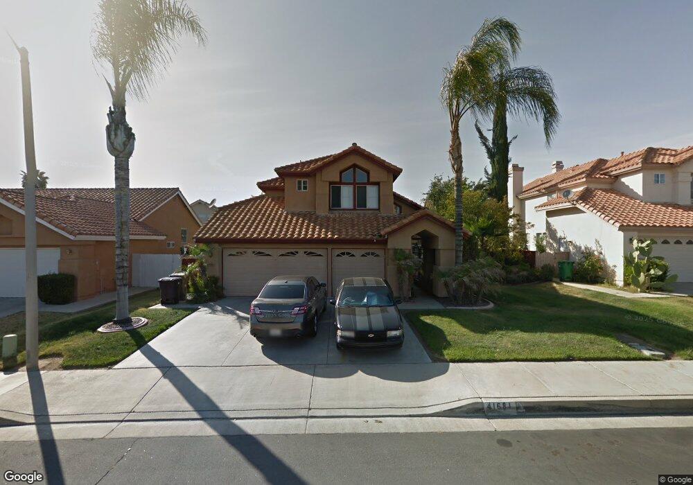
41681 Valor Dr Murrieta, CA 92562
Estimated Value: $714,000 - $739,887
4
Beds
3
Baths
2,447
Sq Ft
$297/Sq Ft
Est. Value
About This Home
This home is located at 41681 Valor Dr, Murrieta, CA 92562 and is currently estimated at $726,472, approximately $296 per square foot. 41681 Valor Dr is a home located in Riverside County with nearby schools including Murrieta Elementary School, Thompson Middle School, and Murrieta Valley High School.
Ownership History
Date
Name
Owned For
Owner Type
Purchase Details
Closed on
Mar 17, 2005
Sold by
Milloy John E and Milloy Edna S
Bought by
Milloy John E and Milloy Edna S
Current Estimated Value
Home Financials for this Owner
Home Financials are based on the most recent Mortgage that was taken out on this home.
Original Mortgage
$396,000
Outstanding Balance
$213,772
Interest Rate
6.6%
Mortgage Type
Purchase Money Mortgage
Estimated Equity
$512,700
Purchase Details
Closed on
Jun 2, 1998
Sold by
Rash William D and Rash Susan J
Bought by
Milloy John E and Milloy Edna S
Home Financials for this Owner
Home Financials are based on the most recent Mortgage that was taken out on this home.
Original Mortgage
$177,160
Interest Rate
7.03%
Mortgage Type
VA
Create a Home Valuation Report for This Property
The Home Valuation Report is an in-depth analysis detailing your home's value as well as a comparison with similar homes in the area
Home Values in the Area
Average Home Value in this Area
Purchase History
| Date | Buyer | Sale Price | Title Company |
|---|---|---|---|
| Milloy John E | -- | Gateway Title Company | |
| Milloy John E | $172,000 | North American Title Co |
Source: Public Records
Mortgage History
| Date | Status | Borrower | Loan Amount |
|---|---|---|---|
| Open | Milloy John E | $396,000 | |
| Closed | Milloy John E | $177,160 |
Source: Public Records
Tax History Compared to Growth
Tax History
| Year | Tax Paid | Tax Assessment Tax Assessment Total Assessment is a certain percentage of the fair market value that is determined by local assessors to be the total taxable value of land and additions on the property. | Land | Improvement |
|---|---|---|---|---|
| 2025 | $3,853 | $305,145 | $54,853 | $250,292 |
| 2023 | $3,853 | $293,298 | $52,724 | $240,574 |
| 2022 | $3,831 | $287,548 | $51,691 | $235,857 |
| 2021 | $3,769 | $281,911 | $50,678 | $231,233 |
| 2020 | $3,733 | $279,021 | $50,159 | $228,862 |
| 2019 | $3,666 | $273,551 | $49,176 | $224,375 |
| 2018 | $3,600 | $268,188 | $48,213 | $219,975 |
| 2017 | $3,553 | $262,930 | $47,268 | $215,662 |
| 2016 | $3,507 | $257,776 | $46,342 | $211,434 |
| 2015 | $3,472 | $253,906 | $45,647 | $208,259 |
| 2014 | $3,325 | $248,934 | $44,753 | $204,181 |
Source: Public Records
Map
Nearby Homes
- 41675 Broad Oak St
- 41621 Valor Dr
- 41490 Lily Ave
- 24061 Grafton Ave
- 41886 41886 Magnolia St
- 41973 Rondo St Unit 1203
- 41979 Rondo St Unit 1106
- 41948 Pedraza St
- 24370 Adams Ave
- 24213 Hazelnut Ave
- 24280 White Willow Ave
- 24264 Washington Ave
- 24435 Adams Ave
- 24246 Hazelnut Ave
- 24409 Jefferson Ave
- 24329 Red Spruce Ave
- 41985 #302 Emelia St
- 41349 Magnolia St
- 0 Lenox Ln Unit NDP2509288
- 0 Lenox Ln Unit SW23101061
- 41693 Valor Dr
- 41669 Valor Dr
- 41721 Elk Run Dr
- 41705 Valor Dr
- 24118 Bearskin Cir
- 24126 Bearskin Cir
- 41680 Valor Dr
- 41709 Elk Run Dr
- 41692 Valor Dr
- 41717 Valor Dr
- 41704 Valor Dr
- 24121 Bearskin Cir
- 24110 Bearskin Cir
- 41734 Elk Run Dr
- 41720 Elk Run Dr
- 41697 Elk Run Dr
- 41716 Valor Dr
- 24136 Adams Ave
- 24144 Adams Ave
- 41698 Elk Run Dr