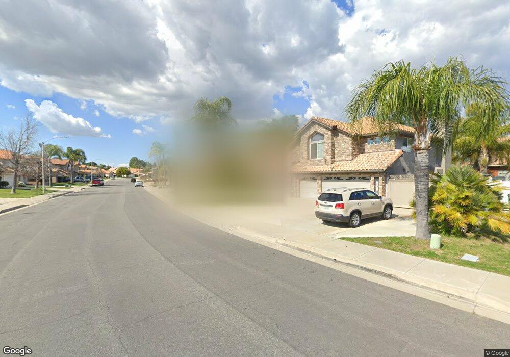
41698 Elk Run Dr Murrieta, CA 92562
Estimated Value: $701,000 - $718,000
4
Beds
3
Baths
2,447
Sq Ft
$290/Sq Ft
Est. Value
About This Home
This home is located at 41698 Elk Run Dr, Murrieta, CA 92562 and is currently estimated at $709,802, approximately $290 per square foot. 41698 Elk Run Dr is a home located in Riverside County with nearby schools including Murrieta Elementary School, Thompson Middle School, and Murrieta Valley High School.
Ownership History
Date
Name
Owned For
Owner Type
Purchase Details
Closed on
Jan 22, 2004
Sold by
Guy Kevin
Bought by
Guy Kevin Scott and Guy Sandy Sue
Current Estimated Value
Home Financials for this Owner
Home Financials are based on the most recent Mortgage that was taken out on this home.
Original Mortgage
$185,000
Interest Rate
5.79%
Mortgage Type
Stand Alone Refi Refinance Of Original Loan
Purchase Details
Closed on
Nov 22, 1995
Sold by
Merrill Guy Carolee
Bought by
Guy Kevin
Create a Home Valuation Report for This Property
The Home Valuation Report is an in-depth analysis detailing your home's value as well as a comparison with similar homes in the area
Purchase History
| Date | Buyer | Sale Price | Title Company |
|---|---|---|---|
| Guy Kevin Scott | -- | North American Title Co | |
| Guy Kevin | -- | -- |
Source: Public Records
Mortgage History
| Date | Status | Borrower | Loan Amount |
|---|---|---|---|
| Closed | Guy Kevin Scott | $185,000 |
Source: Public Records
Tax History
| Year | Tax Paid | Tax Assessment Tax Assessment Total Assessment is a certain percentage of the fair market value that is determined by local assessors to be the total taxable value of land and additions on the property. | Land | Improvement |
|---|---|---|---|---|
| 2025 | $4,163 | $321,796 | $97,236 | $224,560 |
| 2023 | $4,163 | $309,302 | $93,461 | $215,841 |
| 2022 | $4,129 | $303,238 | $91,629 | $211,609 |
| 2021 | $4,060 | $297,293 | $89,833 | $207,460 |
| 2020 | $4,020 | $294,245 | $88,912 | $205,333 |
| 2019 | $3,946 | $288,476 | $87,169 | $201,307 |
| 2018 | $3,873 | $282,820 | $85,461 | $197,359 |
| 2017 | $3,819 | $277,276 | $83,786 | $193,490 |
| 2016 | $3,768 | $271,841 | $82,144 | $189,697 |
| 2015 | $3,727 | $267,760 | $80,911 | $186,849 |
| 2014 | $3,572 | $262,517 | $79,327 | $183,190 |
Source: Public Records
Map
Nearby Homes
- 24096 Adams Ave
- 24054 Bearskin Cir
- 24199 Blackberry St
- 41896 Zafra St
- 24131 Tuscany Ave Unit 1306
- 24131 Tuscany Ave Unit 1303
- 41489 Winterberry St
- 41732 Mesquite Ln
- 24120 Dolcetto Ave Unit 804
- 41885 Davenport Way Unit C
- 41939 Pedraza St
- 24054 Sweet William Ln
- 24280 White Willow Ave
- 24370 Adams Ave
- 24212 Bay Laurel Ave
- 24264 Washington Ave
- 24420 Matteson Rd
- 24409 Jefferson Ave
- 23842 Jonathan Place
- 24318 Red Spruce Ave
- 41720 Elk Run Dr
- 41686 Elk Run Dr
- 24121 Doeskin Ct
- 41734 Elk Run Dr
- 41674 Elk Run Dr
- 41609 Valor Dr
- 41709 Elk Run Dr
- 41697 Elk Run Dr
- 24131 Doeskin Ct
- 24113 Doeskin Ct
- 41685 Elk Run Dr
- 41721 Elk Run Dr
- 41597 Valor Dr
- 41669 Valor Dr
- 41660 Elk Run Dr
- 41673 Elk Run Dr
- 41585 Valor Dr
- 24110 Bearskin Cir
- 24128 Doeskin Ct
- 41661 Elk Run Dr
Your Personal Tour Guide
Ask me questions while you tour the home.