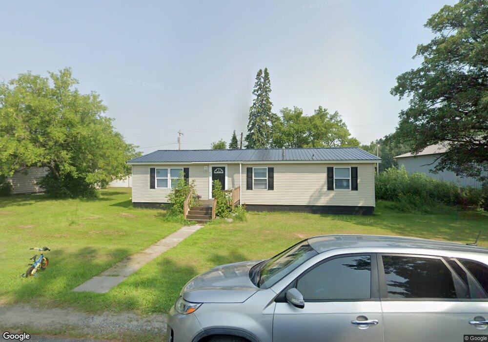
417 6th Ave W Floodwood, MN 55736
Estimated Value: $71,164 - $151,000
2
Beds
1
Bath
682
Sq Ft
$161/Sq Ft
Est. Value
About This Home
This home is located at 417 6th Ave W, Floodwood, MN 55736 and is currently estimated at $109,541, approximately $160 per square foot. 417 6th Ave W is a home with nearby schools including Floodwood Elementary School and Floodwood Secondary School.
Ownership History
Date
Name
Owned For
Owner Type
Purchase Details
Closed on
Jan 7, 2013
Sold by
Raisanen Kenneth
Bought by
Souller Maynard
Current Estimated Value
Home Financials for this Owner
Home Financials are based on the most recent Mortgage that was taken out on this home.
Original Mortgage
$6,000
Interest Rate
3.31%
Mortgage Type
Purchase Money Mortgage
Purchase Details
Closed on
Jul 20, 2011
Sold by
Turnboom Andrew J
Bought by
Raisanen Kenneth
Purchase Details
Closed on
Aug 23, 2004
Sold by
Turnboom Andrew J and Turnboom Jerry A
Bought by
Turnboom Andrew J
Create a Home Valuation Report for This Property
The Home Valuation Report is an in-depth analysis detailing your home's value as well as a comparison with similar homes in the area
Home Values in the Area
Average Home Value in this Area
Purchase History
| Date | Buyer | Sale Price | Title Company |
|---|---|---|---|
| Souller Maynard | $5,000 | Pioneer Abstract & Title Of | |
| Raisanen Kenneth | $8,500 | None Available | |
| Turnboom Andrew J | -- | Consolidated |
Source: Public Records
Mortgage History
| Date | Status | Borrower | Loan Amount |
|---|---|---|---|
| Closed | Souller Maynard | $6,000 |
Source: Public Records
Tax History Compared to Growth
Tax History
| Year | Tax Paid | Tax Assessment Tax Assessment Total Assessment is a certain percentage of the fair market value that is determined by local assessors to be the total taxable value of land and additions on the property. | Land | Improvement |
|---|---|---|---|---|
| 2023 | $584 | $26,100 | $8,400 | $17,700 |
| 2022 | $672 | $23,700 | $7,900 | $15,800 |
| 2021 | $644 | $20,900 | $7,200 | $13,700 |
| 2020 | $642 | $20,900 | $7,200 | $13,700 |
| 2019 | $438 | $20,900 | $7,200 | $13,700 |
| 2018 | $628 | $15,100 | $7,800 | $7,300 |
| 2017 | $634 | $23,600 | $7,800 | $15,800 |
| 2016 | $642 | $23,600 | $7,800 | $15,800 |
| 2015 | $616 | $23,600 | $7,800 | $15,800 |
| 2014 | $616 | $23,600 | $7,800 | $15,800 |
Source: Public Records
Map
Nearby Homes
- 101 7th Ave W
- xxxx 5 Hwy 8
- xxxx 4 Hwy 8
- xxxx 3 Hwy 8
- xxxx 1 Hwy 8
- xxxx 2 Hwy 8
- 11043 Highway 8
- 6559 Highway 29
- 11813 Moen Rd
- TBD Tbd Prairie Lake Rd
- TBD E Forest Ln
- 8017 N Savanna Rd
- TBD X Prairie Lake Rd
- TBD Prairie Lake Rd
- TBD Prairie Lake Rd
- Tbd Prairie Lake Rd
- 7773 Condor Rd
- 9372 McCamus Rd
- 7663 Highway 29
- 12637 Township Road A