417 Alan a Dale Rd Annapolis, MD 21405
Estimated Value: $1,330,300 - $1,681,000
5
Beds
3
Baths
3,412
Sq Ft
$445/Sq Ft
Est. Value
About This Home
This home is located at 417 Alan a Dale Rd, Annapolis, MD 21405 and is currently estimated at $1,517,825, approximately $444 per square foot. 417 Alan a Dale Rd is a home located in Anne Arundel County with nearby schools including Rolling Knolls Elementary School, Wiley H. Bates Middle School, and Annapolis High School.
Ownership History
Date
Name
Owned For
Owner Type
Purchase Details
Closed on
Feb 9, 2009
Sold by
Tolley Robert E
Bought by
Gardiner Michael H and Gardiner Renee M
Current Estimated Value
Home Financials for this Owner
Home Financials are based on the most recent Mortgage that was taken out on this home.
Original Mortgage
$650,000
Outstanding Balance
$409,998
Interest Rate
5.06%
Mortgage Type
Purchase Money Mortgage
Estimated Equity
$1,107,827
Purchase Details
Closed on
Jun 5, 2006
Sold by
Tolley Robert E
Bought by
Tolley Robert E
Purchase Details
Closed on
May 25, 2006
Sold by
Tolley Robert E
Bought by
Tolley Robert E
Purchase Details
Closed on
Nov 20, 2002
Sold by
Tolley Richard T
Bought by
Tolley Robert E
Create a Home Valuation Report for This Property
The Home Valuation Report is an in-depth analysis detailing your home's value as well as a comparison with similar homes in the area
Home Values in the Area
Average Home Value in this Area
Purchase History
| Date | Buyer | Sale Price | Title Company |
|---|---|---|---|
| Gardiner Michael H | $830,000 | -- | |
| Tolley Robert E | -- | -- | |
| Tolley Robert E | -- | -- | |
| Tolley Robert E | $140,312 | -- |
Source: Public Records
Mortgage History
| Date | Status | Borrower | Loan Amount |
|---|---|---|---|
| Open | Gardiner Michael H | $650,000 |
Source: Public Records
Tax History Compared to Growth
Tax History
| Year | Tax Paid | Tax Assessment Tax Assessment Total Assessment is a certain percentage of the fair market value that is determined by local assessors to be the total taxable value of land and additions on the property. | Land | Improvement |
|---|---|---|---|---|
| 2025 | $14,181 | $952,100 | $744,800 | $207,300 |
| 2024 | $14,181 | $907,200 | $0 | $0 |
| 2023 | $13,661 | $862,300 | $0 | $0 |
| 2022 | $12,494 | $817,400 | $663,900 | $153,500 |
| 2021 | $23,412 | $788,067 | $0 | $0 |
| 2020 | $11,502 | $758,733 | $0 | $0 |
| 2019 | $11,340 | $729,400 | $553,600 | $175,800 |
| 2018 | $7,368 | $726,667 | $0 | $0 |
| 2017 | $11,076 | $723,933 | $0 | $0 |
| 2016 | -- | $721,200 | $0 | $0 |
| 2015 | -- | $721,200 | $0 | $0 |
| 2014 | -- | $721,200 | $0 | $0 |
Source: Public Records
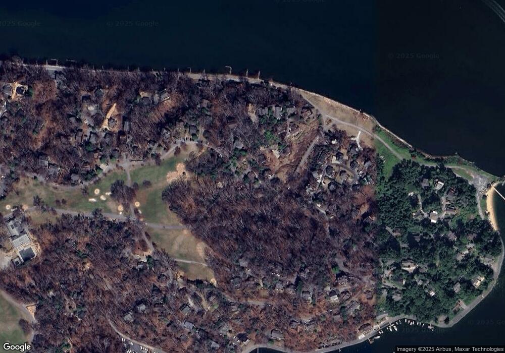
Map
Nearby Homes
- 769 Robinhood Rd
- 856 St Edmonds Place
- 1583 Keswick Place
- 812 Coachway
- 1580 Keswick Place
- 803 Coachway
- 1486 Downham Market
- 357 Overlook Trail
- 1252 Fenwick Garth
- 413 W Joyce Ln
- 522 Epping Forest Rd
- 1676 Saint Albans Square
- 1428 Ravine Way
- 100 Asquithoaks Ln
- 1199 Asquithpines Place
- 1248 Dogwood Rd
- 553 Choptank Cove Ct
- 1277 Ritchie Hwy Unit 195
- 1277 Ritchie Hwy Unit 185
- 938 Old County Rd
- 418 Alan a Dale Rd
- 422 Alan a Dale Rd
- 421 Alan a Dale Rd
- 414 Alan a Dale Rd
- 416 Alan a Dale Rd
- 420 Alan a Dale Rd
- 411 Alan a Dale Rd
- 413 Alan a Dale Rd
- 412 Alan a Dale Rd
- 415 Alan a Dale Rd
- 867 Robinhood Rd
- 867 Robin Hood Hill
- 408 Alan a Dale Rd
- 328 Clopston Hill
- 866 Robinhood Rd
- 406 Alan a Dale Rd
- 409 Alan a Dale Rd
- 407 Alan a Dale Rd
- 846 Robinhood Rd
- 845 Robinhood Rd