Estimated Value: $256,000 - $415,000
1
Bed
1
Bath
1,216
Sq Ft
$273/Sq Ft
Est. Value
About This Home
This home is located at 417 Aldredge Rd, Cairo, GA 39827 and is currently estimated at $332,274, approximately $273 per square foot. 417 Aldredge Rd is a home located in Grady County.
Ownership History
Date
Name
Owned For
Owner Type
Purchase Details
Closed on
Jan 21, 2016
Sold by
Gainous Fondren L
Bought by
Shelton Anthony Keith and Shelton Elizabeth Ann
Current Estimated Value
Purchase Details
Closed on
Dec 21, 2011
Sold by
Gainous Fondren L
Bought by
Roberson Eric
Purchase Details
Closed on
Oct 20, 2005
Sold by
Wells Tommy
Bought by
Gainous Fondren L and Gainous Phyllis J
Home Financials for this Owner
Home Financials are based on the most recent Mortgage that was taken out on this home.
Original Mortgage
$37,472
Interest Rate
5.76%
Mortgage Type
New Conventional
Create a Home Valuation Report for This Property
The Home Valuation Report is an in-depth analysis detailing your home's value as well as a comparison with similar homes in the area
Home Values in the Area
Average Home Value in this Area
Purchase History
| Date | Buyer | Sale Price | Title Company |
|---|---|---|---|
| Shelton Anthony Keith | -- | -- | |
| Roberson Eric | -- | -- | |
| Gainous Fondren L | $73,647 | -- |
Source: Public Records
Mortgage History
| Date | Status | Borrower | Loan Amount |
|---|---|---|---|
| Previous Owner | Gainous Fondren L | $37,472 |
Source: Public Records
Tax History Compared to Growth
Tax History
| Year | Tax Paid | Tax Assessment Tax Assessment Total Assessment is a certain percentage of the fair market value that is determined by local assessors to be the total taxable value of land and additions on the property. | Land | Improvement |
|---|---|---|---|---|
| 2024 | $3,490 | $115,456 | $9,458 | $105,998 |
| 2023 | $1,832 | $61,513 | $7,360 | $54,153 |
| 2022 | $1,832 | $61,513 | $7,360 | $54,153 |
| 2021 | $1,852 | $61,953 | $7,360 | $54,593 |
| 2020 | $1,858 | $61,953 | $7,360 | $54,593 |
| 2019 | $1,858 | $61,953 | $7,360 | $54,593 |
| 2018 | $1,621 | $66,981 | $12,388 | $54,593 |
| 2017 | $1,541 | $66,981 | $12,388 | $54,593 |
| 2016 | $1,354 | $60,059 | $12,388 | $47,671 |
| 2015 | $1,336 | $60,059 | $12,388 | $47,671 |
| 2014 | $1,335 | $60,059 | $12,388 | $47,671 |
| 2013 | -- | $60,601 | $17,982 | $42,619 |
Source: Public Records
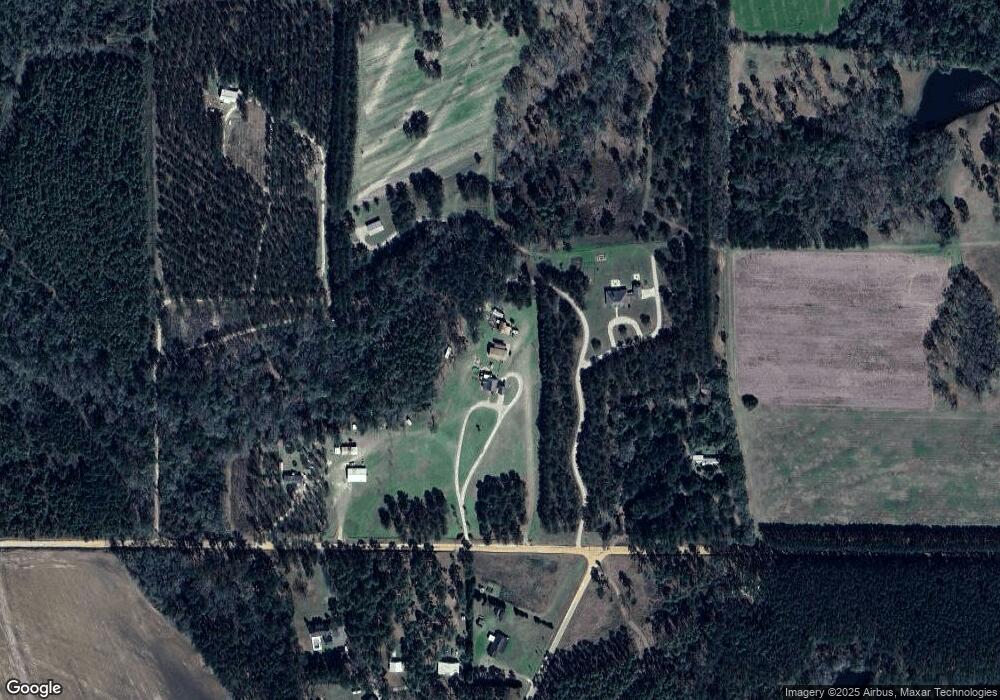
Map
Nearby Homes
- 2427 Pierce Chapel Rd
- 3136 State Route 188
- 1210 Elkins Rd
- 144 Mount Nebo Ln
- 161 Evergreen Ln
- 414 Woodland Rd
- 3109 U S 84
- 3109 U S 84
- 0 NE Airport Rd Unit 145784
- 00 State Route 188
- 0 State Route 188
- 4164 U S 84 Unit Lot Q
- 78.6 Ac Strickland Rd
- 2600 U S 84
- 1016 Richter Rd
- 00 #10 Oak Bend Circle 4 38 Acres
- 66 22nd St NE
- 21 24th St NE
- 0 20th St NE
- 00 20th St NE