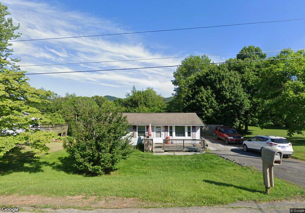
417 High Cir Bristol, TN 37620
Estimated Value: $166,376 - $225,000
3
Beds
2
Baths
1,160
Sq Ft
$170/Sq Ft
Est. Value
About This Home
This home is located at 417 High Cir, Bristol, TN 37620 and is currently estimated at $197,594, approximately $170 per square foot. 417 High Cir is a home located in Sullivan County with nearby schools including Bluff City Elementary School, Sullivan East Middle School, and Sullivan East High School.
Ownership History
Date
Name
Owned For
Owner Type
Purchase Details
Closed on
Jun 21, 2004
Sold by
Norman Rosenbalm and Norman Lela
Bought by
Doyle William E
Current Estimated Value
Home Financials for this Owner
Home Financials are based on the most recent Mortgage that was taken out on this home.
Original Mortgage
$63,900
Outstanding Balance
$31,302
Interest Rate
6.25%
Estimated Equity
$166,292
Purchase Details
Closed on
Feb 20, 2004
Sold by
Wells Fargo Bank
Bought by
Norman Rosenbalm
Purchase Details
Closed on
Nov 12, 2003
Sold by
Weiss Arnold Sub Trustee
Bought by
Wells Fargo Bank
Create a Home Valuation Report for This Property
The Home Valuation Report is an in-depth analysis detailing your home's value as well as a comparison with similar homes in the area
Purchase History
| Date | Buyer | Sale Price | Title Company |
|---|---|---|---|
| Doyle William E | $71,000 | -- | |
| Norman Rosenbalm | $40,000 | -- | |
| Wells Fargo Bank | $56,200 | -- |
Source: Public Records
Mortgage History
| Date | Status | Borrower | Loan Amount |
|---|---|---|---|
| Open | Wells Fargo Bank | $63,900 |
Source: Public Records
Tax History
| Year | Tax Paid | Tax Assessment Tax Assessment Total Assessment is a certain percentage of the fair market value that is determined by local assessors to be the total taxable value of land and additions on the property. | Land | Improvement |
|---|---|---|---|---|
| 2025 | $809 | $50,150 | $3,325 | $46,825 |
| 2024 | $618 | $24,775 | $3,050 | $21,725 |
| 2023 | $596 | $24,775 | $3,050 | $21,725 |
| 2022 | $596 | $24,775 | $3,050 | $21,725 |
| 2021 | $596 | $24,775 | $3,050 | $21,725 |
| 2020 | $603 | $24,775 | $3,050 | $21,725 |
| 2019 | $603 | $23,450 | $3,050 | $20,400 |
| 2018 | $598 | $23,450 | $3,050 | $20,400 |
| 2017 | $598 | $23,450 | $3,050 | $20,400 |
| 2016 | $586 | $22,750 | $3,050 | $19,700 |
| 2014 | -- | $20,667 | $0 | $0 |
Source: Public Records
Map
Nearby Homes
- 2030 Vance Tank Rd Unit 1
- 464 Springfield Dr
- 436 Springfield Dr
- 361 Springfield Dr
- 257 Broyles Rd
- 549 Pleasant Grove Rd
- TBD Sweet Knobs Trail
- 228 Country Meadows Cir
- 229 Country Meadow Cir
- 229 Country Meadows Cir
- Tbd Sportsway Dr
- 413 Paddle Creek Rd
- 4118 Weaver Pike
- 4045 Weaver Pike
- Tbd Paddle Creek Rd
- 1320 Silver Grove Rd
- 1026 Deer Harbour Rd
- 3257 Avoca Rd
- 3253 Avoca Rd
- 18 Ross St
Your Personal Tour Guide
Ask me questions while you tour the home.