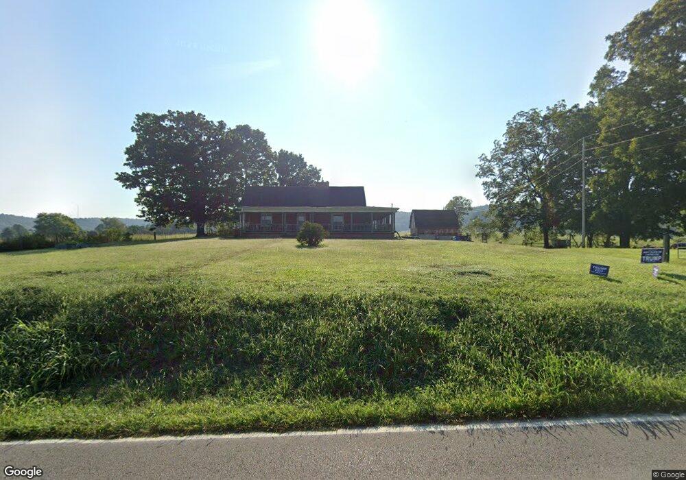
417 Lester Flatt Rd Sparta, TN 38583
Estimated Value: $479,000 - $1,554,548
--
Bed
2
Baths
1,833
Sq Ft
$614/Sq Ft
Est. Value
About This Home
This home is located at 417 Lester Flatt Rd, Sparta, TN 38583 and is currently estimated at $1,125,183, approximately $613 per square foot. 417 Lester Flatt Rd is a home located in White County with nearby schools including Woodland Park Elementary School, White County Middle School, and White County High School.
Ownership History
Date
Name
Owned For
Owner Type
Purchase Details
Closed on
Sep 19, 2008
Bought by
Catron Lyle and Catron Mary Ann
Current Estimated Value
Purchase Details
Closed on
Sep 19, 2007
Sold by
Rogers Sue
Bought by
Catron Lyle
Purchase Details
Closed on
Feb 12, 1997
Bought by
Sue Rogers
Purchase Details
Closed on
Jan 2, 1900
Bought by
Hatfield Adas
Create a Home Valuation Report for This Property
The Home Valuation Report is an in-depth analysis detailing your home's value as well as a comparison with similar homes in the area
Home Values in the Area
Average Home Value in this Area
Purchase History
| Date | Buyer | Sale Price | Title Company |
|---|---|---|---|
| Catron Lyle | $500,000 | -- | |
| Catron Lyle | $500,000 | -- | |
| Sue Rogers | $100,000 | -- | |
| Hatfield Adas | -- | -- |
Source: Public Records
Tax History Compared to Growth
Tax History
| Year | Tax Paid | Tax Assessment Tax Assessment Total Assessment is a certain percentage of the fair market value that is determined by local assessors to be the total taxable value of land and additions on the property. | Land | Improvement |
|---|---|---|---|---|
| 2024 | $1,886 | $92,000 | $48,900 | $43,100 |
| 2023 | $1,886 | $92,000 | $48,900 | $43,100 |
| 2022 | $1,886 | $92,000 | $48,900 | $43,100 |
| 2021 | $1,886 | $92,000 | $48,900 | $43,100 |
| 2020 | $1,886 | $92,000 | $48,900 | $43,100 |
| 2019 | $1,455 | $70,975 | $41,375 | $29,600 |
| 2018 | $1,455 | $70,975 | $41,375 | $29,600 |
| 2017 | $1,455 | $70,975 | $41,375 | $29,600 |
| 2016 | $1,455 | $70,975 | $41,375 | $29,600 |
| 2015 | $1,313 | $70,975 | $41,375 | $29,600 |
| 2014 | -- | $70,975 | $41,375 | $29,600 |
| 2013 | -- | $69,775 | $39,950 | $29,825 |
Source: Public Records
Map
Nearby Homes
- 198 Johnson St
- 0 Country Club Rd
- 378 Cherokee Cir
- 1.8ac Baker Mountain Rd
- 167 Seminole Ln
- 0 Clay Holman Rd
- 00 Clay Holman Rd
- 00 Crossville Hwy
- Lot 3 Crossville Hwy
- Lot 2 Crossville Hwy
- Lot 75 Crossville Hwy
- Lot 76 Crossville Hwy
- Lot 73 Crossville Hwy
- Lot 72 Crossville Hwy
- Lot 1 Crossville Hwy
- 0 Crossville Hwy Unit RTC2998201
- 0 Crossville Hwy Unit RTC2998171
- 0 Crossville Hwy Unit 238483
- 0 Crossville Hwy Unit RTC2970242
- 0 Crossville Hwy Unit RTC2908646
- 245 Lester Flatt Rd
- 00 Lester Flatt Rd
- 275 Slash Ln
- 249 Slash Ln
- 280 Slash Ln
- 207 Slash Ln
- 224 Slash Ln
- 206 Slash Ln
- 1256 Country Club Rd
- 170 Slash Ln
- 1200 Country Club Rd
- 1174 Country Club Rd
- 10 +/- Country Club Rd
- 509 Cherokee Cir
- 440 Baker Mt Rd
- 1081 Country Club Rd
- 440 Baker Mountain Rd
- 831 Lester Flatt Rd
- 1130 Country Club Rd Unit 1128
- 1364 Country Club Rd