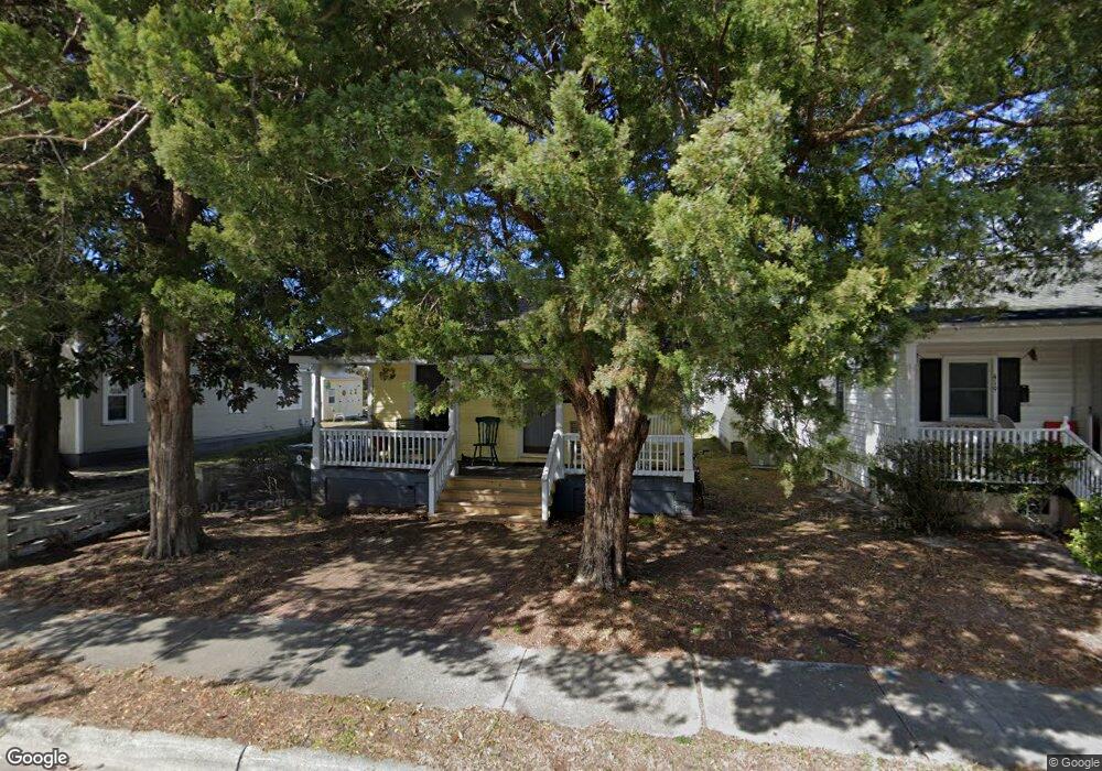
417 Marsh St Beaufort, NC 28516
Estimated Value: $193,000 - $313,000
2
Beds
1
Bath
576
Sq Ft
$415/Sq Ft
Est. Value
About This Home
This home is located at 417 Marsh St, Beaufort, NC 28516 and is currently estimated at $238,959, approximately $414 per square foot. 417 Marsh St is a home located in Carteret County with nearby schools including Beaufort Elementary School, Beaufort Middle School, and East Carteret High School.
Ownership History
Date
Name
Owned For
Owner Type
Purchase Details
Closed on
Jul 15, 2020
Sold by
Thomas J Johnson Llc
Bought by
400 Marsh Street Llc
Current Estimated Value
Purchase Details
Closed on
Mar 31, 2016
Sold by
Tucker Thomas C
Bought by
Thomas J Johnson Llc
Purchase Details
Closed on
Feb 12, 2016
Sold by
Norwood Dneane and Norwood Steven
Bought by
Tucker Thomas C
Purchase Details
Closed on
Jun 5, 2012
Sold by
Norwood Steven
Bought by
Norwood Denean
Create a Home Valuation Report for This Property
The Home Valuation Report is an in-depth analysis detailing your home's value as well as a comparison with similar homes in the area
Home Values in the Area
Average Home Value in this Area
Purchase History
| Date | Buyer | Sale Price | Title Company |
|---|---|---|---|
| 400 Marsh Street Llc | -- | None Available | |
| Thomas J Johnson Llc | $90,000 | Attorney | |
| Tucker Thomas C | -- | Attorney | |
| Norwood Denean | -- | None Available |
Source: Public Records
Tax History
| Year | Tax Paid | Tax Assessment Tax Assessment Total Assessment is a certain percentage of the fair market value that is determined by local assessors to be the total taxable value of land and additions on the property. | Land | Improvement |
|---|---|---|---|---|
| 2025 | $1,092 | $167,198 | $91,530 | $75,668 |
| 2024 | $564 | $47,250 | $27,300 | $19,950 |
| 2023 | $469 | $47,250 | $27,300 | $19,950 |
| 2022 | $465 | $47,250 | $27,300 | $19,950 |
| 2021 | $465 | $47,250 | $27,300 | $19,950 |
| 2020 | $465 | $47,250 | $27,300 | $19,950 |
| 2019 | $409 | $41,651 | $17,062 | $24,589 |
| 2017 | $371 | $40,723 | $17,062 | $23,661 |
| 2016 | $353 | $40,723 | $17,062 | $23,661 |
| 2015 | $349 | $40,723 | $17,062 | $23,661 |
| 2014 | -- | $46,916 | $28,358 | $18,558 |
Source: Public Records
Map
Nearby Homes
- 608 Cedar St
- 613 Mulberry St
- 311 Pollock St
- 615 Broad St Unit B
- 819 Broad St
- 805 Mulberry St Unit 104
- 805 Mulberry St Unit 105
- 805 Mulberry St Unit 204
- 805 Mulberry St Unit 101
- 805 Mulberry St Unit 203
- 805 Mulberry St Unit 201
- 805 Mulberry St Unit 202
- 805 Mulberry St Unit 102
- 601 Craven St
- 104 Chestnut Dr
- 104 A Chestnut Dr
- 412 Ann St
- 110 Live Oak Commons
- 217 Broad St
- 212 Broad St
Your Personal Tour Guide
Ask me questions while you tour the home.