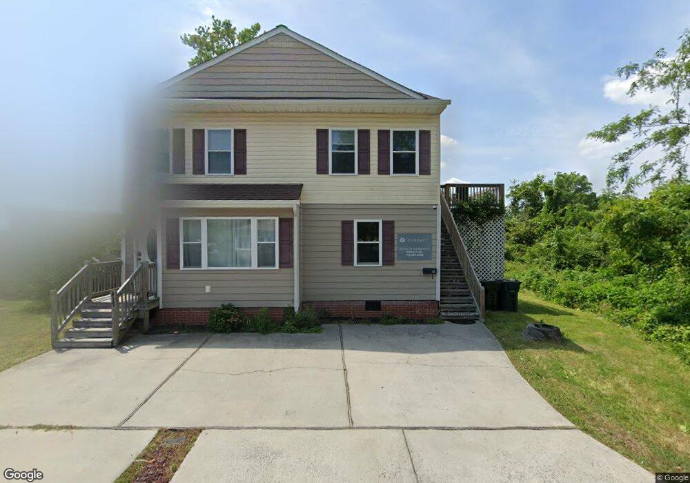
417 N Second St Unit B Hampton, VA 23664
Buckroe Beach NeighborhoodEstimated Value: $334,000 - $404,607
About This Home
This home is located at 417 N Second St Unit B, Hampton, VA 23664 and is currently estimated at $374,652, approximately $414 per square foot. 417 N Second St Unit B is a home located in Hampton City with nearby schools including Francis Asbury Elementary School, Benjamin Syms Middle School, and Phoebus High School.
Ownership History
We collect this data history from publicly available records. To have your information removed, we recommend requesting removal directly through your county’s website.
Purchase Details
Home Financials for this Owner
Home Financials are based on the most recent Mortgage that was taken out on this home.Purchase Details
Purchase Details
Home Financials for this Owner
Home Financials are based on the most recent Mortgage that was taken out on this home.Home Values in the Area
Average Home Value in this Area
Purchase History
We collect this data history from publicly available records. To have your information removed, we recommend requesting removal directly through your county’s website.
| Date | Buyer | Sale Price | Title Company |
|---|---|---|---|
| $405,000 | Old Republic National Title In | ||
| $186,000 | Attorney | ||
| $170,000 | -- |
Mortgage History
We collect this data history from publicly available records. To have your information removed, we recommend requesting removal directly through your county’s website.
| Date | Status | Borrower | Loan Amount |
|---|---|---|---|
| Open | $400,186 | ||
| Previous Owner | $136,000 |
Tax History
We collect this data history from publicly available records. To have your information removed, we recommend requesting removal directly through your county’s website.
| Year | Tax Paid | Tax Assessment Tax Assessment Total Assessment is a certain percentage of the fair market value that is determined by local assessors to be the total taxable value of land and additions on the property. | Land | Improvement |
|---|---|---|---|---|
| 2025 | $4,283 | $362,200 | $97,500 | $264,700 |
| 2024 | $3,698 | $321,600 | $97,500 | $224,100 |
| 2023 | $3,323 | $286,500 | $75,000 | $211,500 |
| 2022 | $3,136 | $265,800 | $75,000 | $190,800 |
| 2021 | $2,834 | $218,100 | $67,500 | $150,600 |
| 2020 | $2,294 | $185,000 | $61,700 | $123,300 |
| 2019 | $1,911 | $154,100 | $61,700 | $92,400 |
| 2018 | $1,982 | $150,500 | $61,700 | $88,800 |
| 2017 | $1,960 | $0 | $0 | $0 |
| 2016 | $1,960 | $150,500 | $0 | $0 |
| 2015 | $1,960 | $0 | $0 | $0 |
| 2014 | $1,950 | $150,500 | $61,700 | $88,800 |
Map
- 307 N First St
- 334 N First St Unit 18
- 334 N First St
- 109 Parkview Place
- 410 Rogers Ave
- 408 Rogers Ave
- 214 N 5th St
- 224 N First St
- 419 Hunlac Ave
- 214 N Fifth St
- 214 N First St
- 420 Tappan Ave
- 418 Hunlac Ave
- 2015 N Mallory St
- 2013 N Mallory St
- 750 N First St
- 309 Benthall Rd
- 1040 Porte Harbour Arch
- 1039 Porte Harbour Arch
- 200 Benthall Rd
- 212 Pilot Ave
- 210 Pilot Ave
- 2224 N Mallory St
- 208 Pilot Ave
- 2226 N Mallory St
- 2221 N Mallory St
- 2223 N Mallory St
- 2217 N Mallory St
- 219 Pilot Ave
- 2228 N Mallory St
- 2227 N Mallory St
- 2230 N Mallory St
- 2215 N Mallory St
- 403 N Second St
- 405 N Second St
- 407 N Second St
- 2229 N Mallory St
- 401 N Second St
- 401 N 2nd St
- 409 N Second St
Ask me questions while you tour the home.