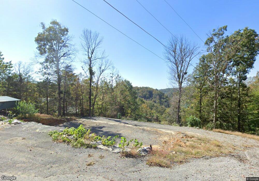
417 Taylors Trace Albany, KY 42602
Estimated Value: $62,000 - $284,144
3
Beds
2
Baths
1,920
Sq Ft
$90/Sq Ft
Est. Value
About This Home
This home is located at 417 Taylors Trace, Albany, KY 42602 and is currently estimated at $173,072, approximately $90 per square foot. 417 Taylors Trace is a home located in Clinton County with nearby schools including Clinton County Early Childhood Center, Albany Elementary School, and Clinton County Middle School.
Ownership History
Date
Name
Owned For
Owner Type
Purchase Details
Closed on
Jan 27, 2023
Sold by
Bachman Gale
Bought by
Taylor Vincent
Current Estimated Value
Purchase Details
Closed on
Jan 23, 2023
Sold by
Taylor Vincent
Bought by
Spera Jordan and Spera Taylor
Create a Home Valuation Report for This Property
The Home Valuation Report is an in-depth analysis detailing your home's value as well as a comparison with similar homes in the area
Home Values in the Area
Average Home Value in this Area
Purchase History
| Date | Buyer | Sale Price | Title Company |
|---|---|---|---|
| Taylor Vincent | $2,255 | -- | |
| Taylor Vincent | $2,255 | None Listed On Document | |
| Spera Jordan | $1,320 | -- | |
| Spera Jordan | $1,320 | None Listed On Document |
Source: Public Records
Tax History Compared to Growth
Tax History
| Year | Tax Paid | Tax Assessment Tax Assessment Total Assessment is a certain percentage of the fair market value that is determined by local assessors to be the total taxable value of land and additions on the property. | Land | Improvement |
|---|---|---|---|---|
| 2024 | $333 | $40,000 | $0 | $0 |
| 2023 | $2,030 | $241,890 | $0 | $0 |
| 2022 | $622 | $115,000 | $0 | $0 |
| 2021 | $622 | $115,000 | $0 | $0 |
| 2020 | $633 | $115,000 | $0 | $0 |
| 2019 | $627 | $115,000 | $0 | $0 |
| 2018 | $636 | $115,000 | $20,000 | $95,000 |
| 2015 | $594 | $115,000 | $20,000 | $95,000 |
| 2013 | -- | $115,000 | $20,000 | $95,000 |
Source: Public Records
Map
Nearby Homes
- 412 Groce Subdivision Rd
- 210 Lakeside Dr
- 1086 Martin Cross Rd
- 30 Lakepointe Dr
- 350 Griffin Trail
- 0 Griffin Trail Unit 74 11089354
- 620 Griffin Trail
- 251 S Taxiway Dr
- 0 Oak Hill Rd
- Lot 60 Holly Bend Dr
- Lot 29 Holly Bend Dr
- Lot 80 Holly Bend Dr
- 0 Oak Dr Brady Dr
- 263 W Taxiway Dr
- Lot 63 Meadow Lark
- 341 Bradley Rd
- 0 Holly Bend Dr Unit RTC2788122
- 0 Holly Bend Dr Unit Lot 62 RA20245997
- 0 Holly Bend Dr Unit RTC2758900
- 12 Eagle Point Dr Unit Lot 12, 14, & most
- 417 Taylor's Trace
- 96 Lake Path
- 72 Lake Path
- 6 Lake Path
- 149 Lake Path
- 501 Groce Subdivision Rd
- 126 Lake Path
- 71 Lake Path
- 151 Taylors Trace
- 45 Cut Falls Rd
- 264 Groce Subdivision Rd
- 738 Hay Rd
- 96 Taylors Trace
- 77 Ronnie Brown Rd
- 3335 N Highway 127
- 3917 N Highway 127
- 3723 N Highway 127
- 150 Cecil Way Rd
- 9 Taylors Trace
- 116 Cecil Way Rd