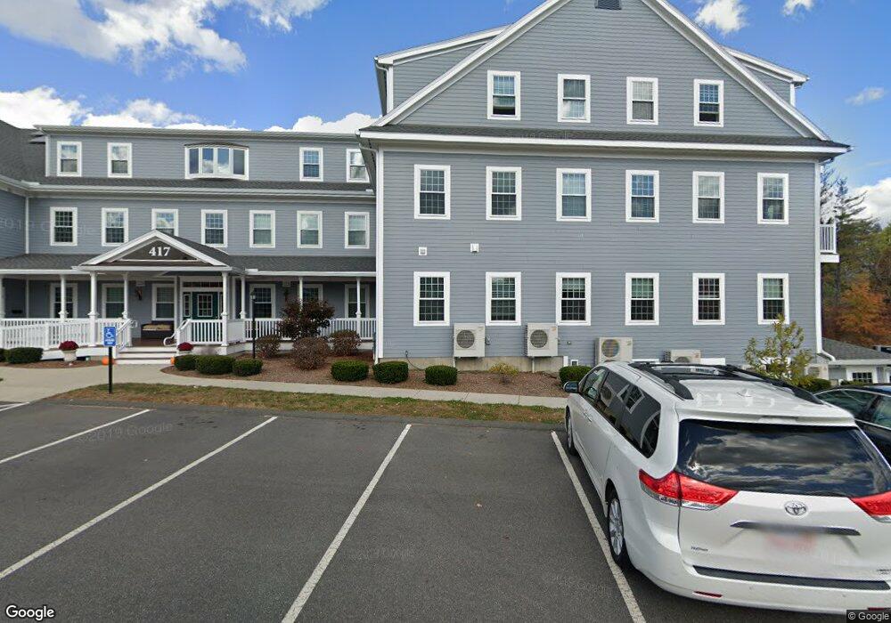
417 West St Amherst, MA 01002
--
Bed
1
Bath
17,193
Sq Ft
2.77
Acres
About This Home
This home is located at 417 West St, Amherst, MA 01002. 417 West St is a home located in Hampshire County with nearby schools including Crocker Farm Elementary School, Amherst Regional Middle School, and Amherst Regional High School.
Ownership History
Date
Name
Owned For
Owner Type
Purchase Details
Closed on
Mar 31, 2017
Sold by
Brennan Laura D and Laverdiere Ronald J
Bought by
Amherst Office Park Ll
Purchase Details
Closed on
Dec 31, 2012
Sold by
Laverdiere Donald A
Bought by
Brennan Lauria D and Laverdiere Ronald J
Purchase Details
Closed on
Jun 8, 1993
Sold by
Harvey Nadine R
Bought by
Leverdiere Donald A
Home Financials for this Owner
Home Financials are based on the most recent Mortgage that was taken out on this home.
Original Mortgage
$10,000
Interest Rate
7.33%
Mortgage Type
Commercial
Purchase Details
Closed on
May 4, 1992
Sold by
Leverdiere Ronald J
Bought by
Ellsworth Jeanette A
Create a Home Valuation Report for This Property
The Home Valuation Report is an in-depth analysis detailing your home's value as well as a comparison with similar homes in the area
Home Values in the Area
Average Home Value in this Area
Purchase History
| Date | Buyer | Sale Price | Title Company |
|---|---|---|---|
| Amherst Office Park Ll | -- | -- | |
| Amherst Office Park Ll | -- | -- | |
| Brennan Lauria D | -- | -- | |
| Brennan Lauria D | -- | -- | |
| Leverdiere Donald A | $150,000 | -- | |
| Leverdiere Donald A | $150,000 | -- | |
| Ellsworth Jeanette A | $107,000 | -- |
Source: Public Records
Mortgage History
| Date | Status | Borrower | Loan Amount |
|---|---|---|---|
| Previous Owner | Ellsworth Jeanette A | $10,000 |
Source: Public Records
Tax History Compared to Growth
Tax History
| Year | Tax Paid | Tax Assessment Tax Assessment Total Assessment is a certain percentage of the fair market value that is determined by local assessors to be the total taxable value of land and additions on the property. | Land | Improvement |
|---|---|---|---|---|
| 2025 | $969 | $5,399,300 | $399,000 | $5,000,300 |
| 2024 | $94,542 | $5,107,600 | $376,900 | $4,730,700 |
| 2023 | $97,517 | $4,851,600 | $343,100 | $4,508,500 |
| 2022 | $95,464 | $4,488,200 | $326,800 | $4,161,400 |
| 2021 | $448 | $4,488,200 | $326,800 | $4,161,400 |
| 2020 | $95,688 | $4,488,200 | $326,800 | $4,161,400 |
| 2019 | $421 | $4,441,800 | $419,100 | $4,022,700 |
| 2018 | $90,431 | $4,277,700 | $419,100 | $3,858,600 |
| 2017 | $401 | $4,000,300 | $419,100 | $3,581,200 |
| 2016 | $63,660 | $3,000,000 | $419,100 | $2,580,900 |
| 2015 | $99,202 | $4,829,700 | $419,100 | $4,410,600 |
Source: Public Records
Map
Nearby Homes
- 500 West St Unit 6
- 551 West St
- 178 W Pomeroy Ln
- 170 E Hadley Rd Unit 123
- 170 E Hadley Rd Unit 46
- 40 Farmington Rd
- 66 Longmeadow Dr
- 967 S East St
- 324 Pomeroy Ln
- 6 Evening Star Dr
- 365 Middle St
- 26 Greenleaves Dr Unit 602
- 26 Greenleaves Dr Unit 620
- 27 Greenleaves Dr Unit 703
- 24 Greenleaves Dr Unit 406
- 24 Greenleaves Dr Unit 402
- 24 Greenleaves Dr Unit 411
- 24 Greenleaves Dr Unit 436
- 20 Station Rd
- 53 Pine Grove Unit 53