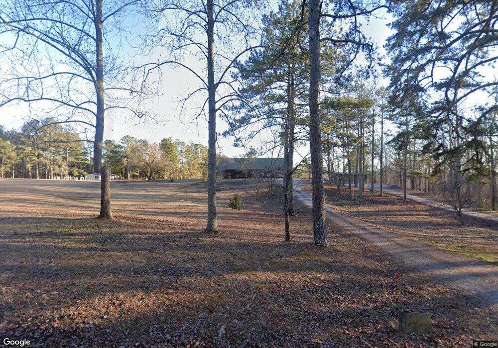
4170 Treat Mountain Rd Cedartown, GA 30125
Estimated Value: $244,610 - $259,000
4
Beds
2
Baths
1,824
Sq Ft
$138/Sq Ft
Est. Value
About This Home
This home is located at 4170 Treat Mountain Rd, Cedartown, GA 30125 and is currently estimated at $251,805, approximately $138 per square foot. 4170 Treat Mountain Rd is a home located in Haralson County.
Ownership History
Date
Name
Owned For
Owner Type
Purchase Details
Closed on
Nov 20, 2007
Sold by
Forsyth Patricia
Bought by
Forsyth Wayne
Current Estimated Value
Home Financials for this Owner
Home Financials are based on the most recent Mortgage that was taken out on this home.
Original Mortgage
$150,000
Interest Rate
6.29%
Mortgage Type
New Conventional
Purchase Details
Closed on
Mar 1, 1984
Sold by
Forsyth Wayne
Bought by
Forsyth Wayne and Forsyth Patricia
Purchase Details
Closed on
Jan 13, 1984
Sold by
Forsyth Ronnie and Forsyth Oth
Bought by
Forsyth Wayne
Create a Home Valuation Report for This Property
The Home Valuation Report is an in-depth analysis detailing your home's value as well as a comparison with similar homes in the area
Home Values in the Area
Average Home Value in this Area
Purchase History
| Date | Buyer | Sale Price | Title Company |
|---|---|---|---|
| Forsyth Wayne | -- | -- | |
| Forsyth Wayne | -- | -- | |
| Forsyth Wayne | -- | -- |
Source: Public Records
Mortgage History
| Date | Status | Borrower | Loan Amount |
|---|---|---|---|
| Closed | Forsyth Wayne | $150,000 |
Source: Public Records
Tax History Compared to Growth
Tax History
| Year | Tax Paid | Tax Assessment Tax Assessment Total Assessment is a certain percentage of the fair market value that is determined by local assessors to be the total taxable value of land and additions on the property. | Land | Improvement |
|---|---|---|---|---|
| 2024 | $1,391 | $64,540 | $3,153 | $61,387 |
| 2023 | $1,641 | $72,074 | $3,133 | $68,941 |
| 2022 | $1,315 | $59,901 | $3,133 | $56,768 |
| 2021 | $1,312 | $57,825 | $3,133 | $54,692 |
| 2020 | $1,355 | $56,975 | $3,789 | $53,186 |
| 2019 | $1,408 | $56,975 | $3,789 | $53,186 |
| 2018 | $1,477 | $58,566 | $3,930 | $54,636 |
| 2017 | $1,439 | $51,301 | $3,930 | $47,371 |
| 2016 | $1,269 | $48,704 | $3,824 | $44,880 |
| 2015 | $1,247 | $48,028 | $3,824 | $44,204 |
| 2014 | $1,279 | $48,848 | $3,824 | $45,024 |
Source: Public Records
Map
Nearby Homes
- 50 + - Acres Off Ga Hwy 78
- 1870 Tallapoosa Hwy
- 0 Culp Lake Rd (Tract 3)
- 0 Culp Lake Rd (Tract 2)
- 0 Culp Lake Rd Unit 1025-K 10390361
- 0 Culp Lake Rd Unit 1025-J 10390355
- 0 Culp Lake Rd Unit 1025-I 10390347
- 0 Culp Lake Rd Unit 1025-H 10390344
- 0 Cross Roads Church Rd Unit 7629947
- 0 Cross Roads Church Rd Unit 10580810
- 812 Brewster Field Rd
- TR 2 Culp Lake Rd
- TR 3 Culp Lake Rd
- 0 Carnes Rd Unit 147233
- 7711 Highway 100
- 745 Brewster Field Rd
- 557 Grogan Rd
- 539 Grogan Rd
- 845 Crossroads Church Rd
- 765 Addison Rd
- 4188 Treat Mountain Rd
- 4188 Treat Mountain Rd
- 2840 Tallapoosa Hwy
- 2 Treat Mountain Rd
- 2784 Tallapoosa Hwy
- 9419 Georgia 100
- 2738 Tallapoosa Hwy
- 3703 Treat Mountain Rd
- 2590 Tallapoosa Hwy
- 9126 Tallapoosa Hwy
- 9126 Tallapoosa Hwy Unit 100
- 9335 Tallapoosa Hwy
- 9161 Tallapoosa Hwy
- 370 Gun Club Rd
- 0 Gun Club Rd Unit 3191515
- 0 Gun Club Rd Unit 7363851
- 0 Gun Club Rd Unit 7375259
- 0 Gun Club Rd Unit 4013648
- 0 Gun Club Rd Unit 4013639
- 0 Gun Club Rd Unit 5366000
