41703 502nd St North Mankato, MN 56003
Estimated Value: $740,000 - $970,626
4
Beds
2
Baths
3,036
Sq Ft
$282/Sq Ft
Est. Value
About This Home
This home is located at 41703 502nd St, North Mankato, MN 56003 and is currently estimated at $855,313, approximately $281 per square foot. 41703 502nd St is a home located in Nicollet County with nearby schools including Hoover Elementary School, Dakota Meadows Middle School, and Mankato West Senior High School.
Ownership History
Date
Name
Owned For
Owner Type
Purchase Details
Closed on
May 3, 2024
Sold by
Johnson Paul and Johnson Margaret
Bought by
Bruns Loren
Current Estimated Value
Home Financials for this Owner
Home Financials are based on the most recent Mortgage that was taken out on this home.
Original Mortgage
$222,500
Outstanding Balance
$219,374
Interest Rate
6.87%
Mortgage Type
New Conventional
Estimated Equity
$635,939
Purchase Details
Closed on
Apr 9, 2021
Sold by
Johnson Karl H and Johnson Mary T
Bought by
Johnson Trust
Purchase Details
Closed on
Dec 20, 2016
Sold by
Johnson Karl H and Johnson Mary T
Bought by
Johnson Karl H and Johnson Mary T
Create a Home Valuation Report for This Property
The Home Valuation Report is an in-depth analysis detailing your home's value as well as a comparison with similar homes in the area
Home Values in the Area
Average Home Value in this Area
Purchase History
| Date | Buyer | Sale Price | Title Company |
|---|---|---|---|
| Bruns Loren | $222,500 | -- | |
| Johnson Trust | -- | None Available | |
| Johnson Karl H | -- | None Available |
Source: Public Records
Mortgage History
| Date | Status | Borrower | Loan Amount |
|---|---|---|---|
| Open | Bruns Loren | $222,500 |
Source: Public Records
Tax History Compared to Growth
Tax History
| Year | Tax Paid | Tax Assessment Tax Assessment Total Assessment is a certain percentage of the fair market value that is determined by local assessors to be the total taxable value of land and additions on the property. | Land | Improvement |
|---|---|---|---|---|
| 2025 | $4,872 | $854,300 | $157,300 | $697,000 |
| 2024 | $6,420 | $1,367,900 | $658,900 | $709,000 |
| 2023 | $6,318 | $1,243,800 | $559,800 | $684,000 |
| 2022 | $5,298 | $1,170,200 | $486,200 | $684,000 |
| 2021 | $5,328 | $900,900 | $420,000 | $480,900 |
| 2020 | $5,320 | $863,900 | $392,100 | $471,800 |
| 2019 | $5,352 | $913,800 | $440,300 | $473,500 |
| 2018 | $5,228 | $918,100 | $440,200 | $477,900 |
| 2017 | -- | $1,070,100 | $0 | $0 |
| 2016 | $5,388 | $0 | $0 | $0 |
| 2015 | -- | $0 | $0 | $0 |
| 2011 | -- | $0 | $0 | $0 |
Source: Public Records
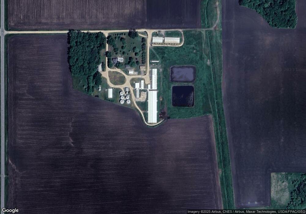
Map
Nearby Homes
- TBD U S Hwy 14
- 42433 Kerns Dr
- 42461 Kerns Dr
- 52618 409th Ave
- 52898 Minnewaukon Dr
- 52765 409th Ave
- 19 Prairie Ct
- 0 Tbd Us Highway 14 Unit 7029135
- 2203 Rolling Green Ln
- 2172 Rolling Green Trail
- 1977 Lexington Ln
- 1973 Lexington Ln
- 1965 Lexington Ln
- 2155 Rolling Green Ln
- 22 Sunset Ct
- 2262 Fairbanks Dr
- 87 Benson Trail
- 1961 Lexington Ln
- 2210 Anchorage Dr
- 2257 Fairbanks Dr
- 510 421 Ave
- 50803 421st Ave
- 49972 421st Ave
- 42285 502nd St
- 42281 502nd St
- 41306 510th St
- TBD Tbd
- 42416 502nd St
- 51078 421st Ave
- 49717 421st Ave
- 49717 421st Ave Unit 49717 421st Avenue
- 49692 421st Ave
- 42132 Us Hwy 14 Unit 42132 US Hightway 14
- 42132 Us Highway 14--
- 42862 Us Highway 14
- 42862 Us Highway 14
- 42559 502nd St
- 42595 502nd St
- 41920 496th St
- 42722 502nd St