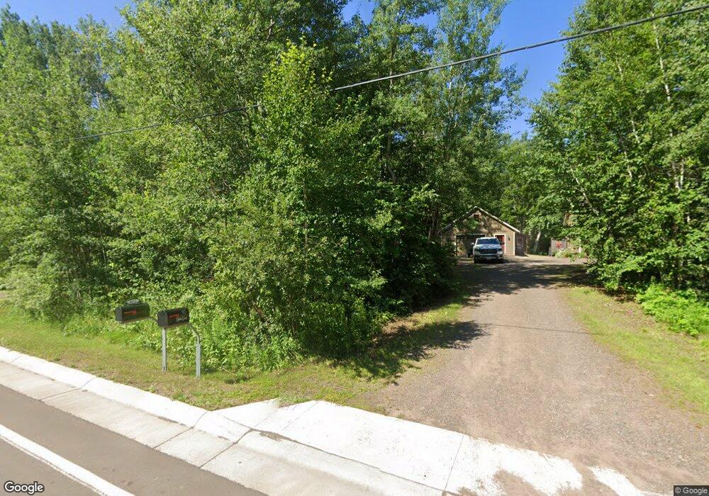
4171 Ugstad Rd Hermantown, MN 55811
Estimated Value: $404,000 - $650,000
3
Beds
2
Baths
1,344
Sq Ft
$377/Sq Ft
Est. Value
About This Home
This home is located at 4171 Ugstad Rd, Hermantown, MN 55811 and is currently estimated at $506,704, approximately $377 per square foot. 4171 Ugstad Rd is a home located in St. Louis County with nearby schools including Hermantown Elementary School, Hermantown Middle School, and Hermantown Middle - Senior High School.
Ownership History
Date
Name
Owned For
Owner Type
Purchase Details
Closed on
Jan 25, 2013
Sold by
Baker Mark J
Bought by
Baker Sharon M
Current Estimated Value
Home Financials for this Owner
Home Financials are based on the most recent Mortgage that was taken out on this home.
Original Mortgage
$262,181
Outstanding Balance
$180,199
Interest Rate
3.05%
Mortgage Type
Adjustable Rate Mortgage/ARM
Estimated Equity
$326,505
Purchase Details
Closed on
Jun 30, 2004
Sold by
Larson Timothy and Larson Gail
Bought by
Baker Mark J and Baker Sharon M
Home Financials for this Owner
Home Financials are based on the most recent Mortgage that was taken out on this home.
Original Mortgage
$225,520
Interest Rate
6.42%
Mortgage Type
Purchase Money Mortgage
Create a Home Valuation Report for This Property
The Home Valuation Report is an in-depth analysis detailing your home's value as well as a comparison with similar homes in the area
Home Values in the Area
Average Home Value in this Area
Purchase History
| Date | Buyer | Sale Price | Title Company |
|---|---|---|---|
| Baker Sharon M | -- | Rels Title | |
| Baker Mark J | $281,900 | Ati |
Source: Public Records
Mortgage History
| Date | Status | Borrower | Loan Amount |
|---|---|---|---|
| Open | Baker Sharon M | $262,181 | |
| Closed | Baker Mark J | $225,520 |
Source: Public Records
Tax History Compared to Growth
Tax History
| Year | Tax Paid | Tax Assessment Tax Assessment Total Assessment is a certain percentage of the fair market value that is determined by local assessors to be the total taxable value of land and additions on the property. | Land | Improvement |
|---|---|---|---|---|
| 2023 | $6,272 | $368,600 | $51,400 | $317,200 |
| 2022 | $5,902 | $343,900 | $50,400 | $293,500 |
| 2021 | $4,446 | $301,000 | $47,700 | $253,300 |
| 2020 | $4,856 | $297,200 | $47,200 | $250,000 |
| 2019 | $4,626 | $315,600 | $68,400 | $247,200 |
| 2018 | $4,176 | $307,600 | $60,400 | $247,200 |
| 2017 | $3,844 | $281,300 | $53,600 | $227,700 |
| 2016 | $3,576 | $266,800 | $50,300 | $216,500 |
| 2015 | $3,384 | $247,800 | $42,800 | $205,000 |
| 2014 | $3,384 | $234,000 | $40,200 | $193,800 |
Source: Public Records
Map
Nearby Homes
- 4099 Maple Grove Rd
- 507X Maple Grove Rd
- 5368 Mckinley Dr
- 4320 Thielke Cir
- xxxx Maple Grove Rd
- 5256 Falcon Dr
- xxx Lavaque Rd Unit 4271 Lavaque Rd
- 4391 Grouse Ridge Dr
- TBD Foxborrow Dr
- XXXX Foxborrow Dr
- 5186 Hermantown Rd
- 5014 Maple Grove Rd
- 5036 White Pine St
- 5082 Boulder Dr
- 4976 Maribe Dr
- 5241 Miller Trunk Hwy
- 47xx Miller Trunk Hwy
- xxx Miller Trunk Hwy
- 45xx - Lot B2 Norway Pines Place
- 45xx - Lot B1 Norway Pines Place