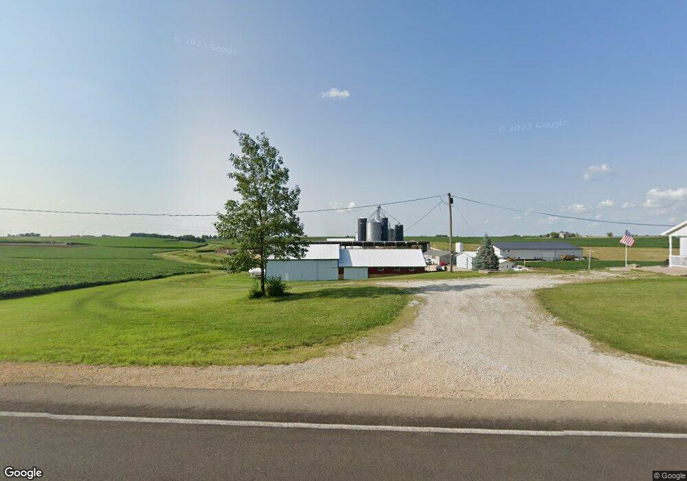
4172 220th St Clinton, IA 52732
Estimated Value: $246,000 - $354,120
3
Beds
1
Bath
1,608
Sq Ft
$185/Sq Ft
Est. Value
About This Home
This home is located at 4172 220th St, Clinton, IA 52732 and is currently estimated at $297,707, approximately $185 per square foot. 4172 220th St is a home located in Clinton County with nearby schools including Northeast Elementary School and Northeast Middle/High School.
Ownership History
Date
Name
Owned For
Owner Type
Purchase Details
Closed on
Apr 15, 2025
Sold by
Donald J Schmidt Revocable Trust and Karen K Schmidt Revocable Trust
Bought by
Duane J Schmidt Revocable Trust and Annette E Schmidt Revocable Trust
Current Estimated Value
Purchase Details
Closed on
Jan 29, 2025
Sold by
Duane J Schmidt Revocable Trust and Schmidt Duane J
Bought by
D & A Schmidt Family Farms Llc
Create a Home Valuation Report for This Property
The Home Valuation Report is an in-depth analysis detailing your home's value as well as a comparison with similar homes in the area
Home Values in the Area
Average Home Value in this Area
Purchase History
| Date | Buyer | Sale Price | Title Company |
|---|---|---|---|
| Duane J Schmidt Revocable Trust | $21,500 | None Listed On Document | |
| D & A Schmidt Family Farms Llc | -- | None Listed On Document | |
| Duane Schmidt Home Farm Llc | -- | None Listed On Document |
Source: Public Records
Tax History Compared to Growth
Tax History
| Year | Tax Paid | Tax Assessment Tax Assessment Total Assessment is a certain percentage of the fair market value that is determined by local assessors to be the total taxable value of land and additions on the property. | Land | Improvement |
|---|---|---|---|---|
| 2025 | $3,072 | $248,520 | $56,470 | $192,050 |
| 2024 | $3,072 | $222,610 | $43,840 | $178,770 |
| 2023 | $3,020 | $222,610 | $43,840 | $178,770 |
| 2022 | $2,606 | $200,600 | $34,470 | $166,130 |
| 2021 | $2,586 | $154,920 | $34,470 | $120,450 |
| 2020 | $2,586 | $151,340 | $36,500 | $114,840 |
| 2019 | $2,568 | $167,900 | $0 | $0 |
| 2018 | $2,518 | $167,900 | $0 | $0 |
| 2017 | $2,364 | $159,700 | $0 | $0 |
| 2016 | $2,154 | $165,400 | $0 | $0 |
| 2015 | $2,154 | $153,100 | $0 | $0 |
| 2014 | $1,968 | $153,100 | $0 | $0 |
| 2013 | $1,930 | $0 | $0 | $0 |
Source: Public Records
Map
Nearby Homes
- 601 Green Hills Dr
- 3930 Brandy Ln
- 1907 Zara Trace
- 1915 Zara Trace
- 1921 Zara Trace
- 1933 Zara Trace
- 2340 Lafayette Terrace
- 750 N 18th St
- 1805 Zara Trace
- 1825 Zara Trace
- 1819 Zara Trace
- 1837 Zara Trace
- 1713 Garrett Ave
- 1708 Connor Ct
- 504 Mill Ridge Rd
- 1924 Zara Trace
- 1916 Zara Trace
- 1908 Zara Trace
- 1940 Zara Trace
- 1709 Connor Ct