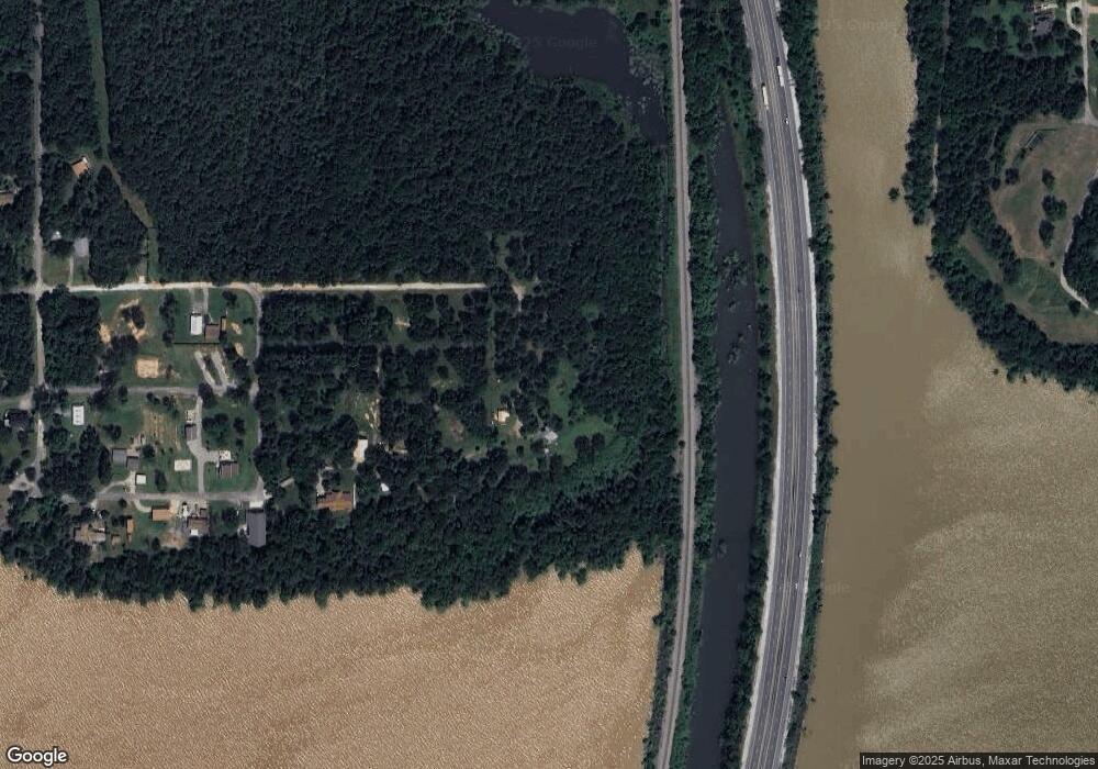
417295 Cardinal St Eufaula, OK 74432
Estimated Value: $325,000 - $359,000
3
Beds
2
Baths
1,502
Sq Ft
$231/Sq Ft
Est. Value
About This Home
This home is located at 417295 Cardinal St, Eufaula, OK 74432 and is currently estimated at $347,262, approximately $231 per square foot. 417295 Cardinal St is a home located in McIntosh County with nearby schools including Eufaula Elementary School, Eufaula Middle School, and Eufaula High School.
Ownership History
Date
Name
Owned For
Owner Type
Purchase Details
Closed on
Mar 31, 2022
Sold by
Wayne Thurman Ii Michael and Wayne Tiffny R
Bought by
Thurman Michael Wayne and Thurman Tiffany R
Current Estimated Value
Home Financials for this Owner
Home Financials are based on the most recent Mortgage that was taken out on this home.
Original Mortgage
$219,450
Outstanding Balance
$203,856
Interest Rate
3.89%
Mortgage Type
New Conventional
Estimated Equity
$143,406
Purchase Details
Closed on
Sep 21, 2019
Sold by
Gentry Johnny Michael and Gentry Teresa
Bought by
Thurman Michael Wayne and Thurman Tiffany R
Home Financials for this Owner
Home Financials are based on the most recent Mortgage that was taken out on this home.
Original Mortgage
$152,000
Interest Rate
3.5%
Mortgage Type
VA
Purchase Details
Closed on
Aug 10, 2015
Sold by
Gentry Johnny Micahel
Bought by
Gentry Johnny Michael and Gentry Teresa
Create a Home Valuation Report for This Property
The Home Valuation Report is an in-depth analysis detailing your home's value as well as a comparison with similar homes in the area
Purchase History
| Date | Buyer | Sale Price | Title Company |
|---|---|---|---|
| Thurman Michael Wayne | -- | Nations Title | |
| Thurman Michael Wayne | $152,000 | Nations Title Of Okc | |
| Gentry Johnny Michael | -- | None Available |
Source: Public Records
Mortgage History
| Date | Status | Borrower | Loan Amount |
|---|---|---|---|
| Open | Thurman Michael Wayne | $219,450 | |
| Previous Owner | Thurman Michael Wayne | $152,000 |
Source: Public Records
Tax History
| Year | Tax Paid | Tax Assessment Tax Assessment Total Assessment is a certain percentage of the fair market value that is determined by local assessors to be the total taxable value of land and additions on the property. | Land | Improvement |
|---|---|---|---|---|
| 2025 | $2,855 | $33,617 | $13,200 | $20,417 |
| 2024 | $2,962 | $33,906 | $13,200 | $20,706 |
| 2023 | $2,962 | $33,417 | $13,200 | $20,217 |
| 2022 | $0 | $20,639 | $7,906 | $12,733 |
| 2021 | $0 | $20,639 | $7,906 | $12,733 |
| 2020 | $0 | $20,639 | $7,906 | $12,733 |
| 2019 | $714 | $21,008 | $7,906 | $13,102 |
| 2018 | $668 | $8,431 | $3,173 | $5,258 |
| 2017 | $637 | $7,647 | $2,878 | $4,769 |
| 2016 | $610 | $7,283 | $2,741 | $4,542 |
| 2015 | $490 | $6,936 | $1,925 | $5,011 |
| 2014 | $487 | $6,936 | $1,925 | $5,011 |
Source: Public Records
Map
Nearby Homes
- 417165 Mocking Bird Ln
- 417188 Mockingbird Ln
- 114549 S 4182 Rd
- 221 Robin Rd
- 416618 E 1214 Rd
- 121021 Porcupine Ln
- 10 Highway 9
- 12 Highway 9
- 16 Highway 9
- 1759 Oklahoma 9a
- 4 Oklahoma 9a
- 8 Oklahoma 9a
- 0 Oklahoma 9a
- 4 Highway 9
- 000 Highway 9
- 5 Highway 9
- 3 Highway 9
- 121233 Highway 9
- 121207 4156
- 008 Summer Ln
- 417295 Cardinal St
- 417072 E 1218 Dr
- 421401 E 1158 Rd
- 420454 E 1172 Rd
- 1710 J M Bailey Hwy
- 0 Mockingbird Ln Unit 2110651
- 414162 E 1167 Rd
- 421160 E 1167 Rd
- 119052 S 4060 Rd
- 417083 Mockingbird Ln
- 121707 S 4170 Rd
- 417060 Cardinal St
- 121734 S 4170 Rd
- 416959 Cardinal St
- 11111 Cherokee Way
- 722 Terrell Rd
- 121616 S 4176 Rd
- 121697 Beaver Dr
- 416884 Cardinal St
