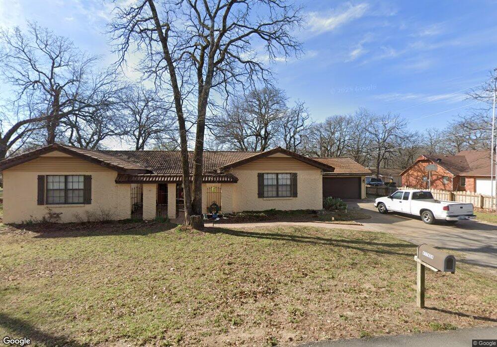
417424 Bridgeport Rd Eufaula, OK 74432
Estimated Value: $216,737 - $283,000
3
Beds
2
Baths
2,212
Sq Ft
$112/Sq Ft
Est. Value
About This Home
This home is located at 417424 Bridgeport Rd, Eufaula, OK 74432 and is currently estimated at $248,434, approximately $112 per square foot. 417424 Bridgeport Rd is a home located in McIntosh County with nearby schools including Eufaula Elementary School, Eufaula Middle School, and Eufaula High School.
Ownership History
Date
Name
Owned For
Owner Type
Purchase Details
Closed on
Sep 5, 2017
Sold by
Berryhill William Lee and Berryhill Melinda Rae
Bought by
Lynn Adam and Lynn Kimberly
Current Estimated Value
Home Financials for this Owner
Home Financials are based on the most recent Mortgage that was taken out on this home.
Original Mortgage
$111,200
Outstanding Balance
$92,910
Interest Rate
3.92%
Mortgage Type
New Conventional
Estimated Equity
$155,524
Create a Home Valuation Report for This Property
The Home Valuation Report is an in-depth analysis detailing your home's value as well as a comparison with similar homes in the area
Home Values in the Area
Average Home Value in this Area
Purchase History
| Date | Buyer | Sale Price | Title Company |
|---|---|---|---|
| Lynn Adam | $139,000 | None Available |
Source: Public Records
Mortgage History
| Date | Status | Borrower | Loan Amount |
|---|---|---|---|
| Open | Lynn Adam | $111,200 |
Source: Public Records
Tax History Compared to Growth
Tax History
| Year | Tax Paid | Tax Assessment Tax Assessment Total Assessment is a certain percentage of the fair market value that is determined by local assessors to be the total taxable value of land and additions on the property. | Land | Improvement |
|---|---|---|---|---|
| 2024 | $1,325 | $15,918 | $1,898 | $14,020 |
| 2023 | $1,325 | $14,439 | $1,898 | $12,541 |
| 2022 | $1,243 | $14,981 | $1,898 | $13,083 |
| 2021 | $1,257 | $14,981 | $1,898 | $13,083 |
| 2020 | $1,258 | $14,981 | $1,898 | $13,083 |
| 2019 | $1,269 | $14,981 | $1,898 | $13,083 |
| 2018 | $1,311 | $14,981 | $1,898 | $13,083 |
| 2017 | $1,103 | $14,238 | $1,898 | $12,340 |
| 2016 | $1,073 | $13,823 | $1,898 | $11,925 |
| 2015 | $1,026 | $13,420 | $1,898 | $11,522 |
| 2014 | $987 | $13,030 | $1,898 | $11,132 |
Source: Public Records
Map
Nearby Homes
- 417377 Bridgeport Rd
- 417394 E 1145
- 417363 E 1145 Rd
- 417308 Bridgeport Rd
- 114516 Portside Dr
- 417292 E 1145 Rd
- 114583 S 4172 Cir Unit 119
- 417601 E 1145 Rd
- 417717 E 1145 Rd
- 114227 S 4172 Rd
- 114276 S 4170 Rd
- 114572 Woodside Dr
- 419086 E 1144 Rd
- 419036 E 1144 Rd
- 419124 E 1144 Rd
- 1 E Lakeview Dr
- 114399 Oak Rd
- 114537 Spring Creek Rd
- 418294 E 1140 Rd
- 20 Lake View Rd
- 417416 Bridgeport Rd
- B14 Castaway Cove
- 417423 Bridgeport Rd
- 57 Driftwood Ln
- 0 Briar Rd Unit 1921493
- 114563 Driftwood Ln
- 114581 Castaway Ct
- 417399 Bridgeport Rd
- 114585 Driftwood Ln
- 114540 Castaway Ct
- 417378 Bridgeport Rd
- 6901 Country Ln
- 417478 E 1145 Rd
- 417365 Bridgeport Rd
- 417449 E 1145 Rd
- 417368 E 1145 Rd
- 114591 Beachview Cir
- 114546 Beachview Cir
- 417412 E 1145 Rd
- 417409 E 1145 Rd