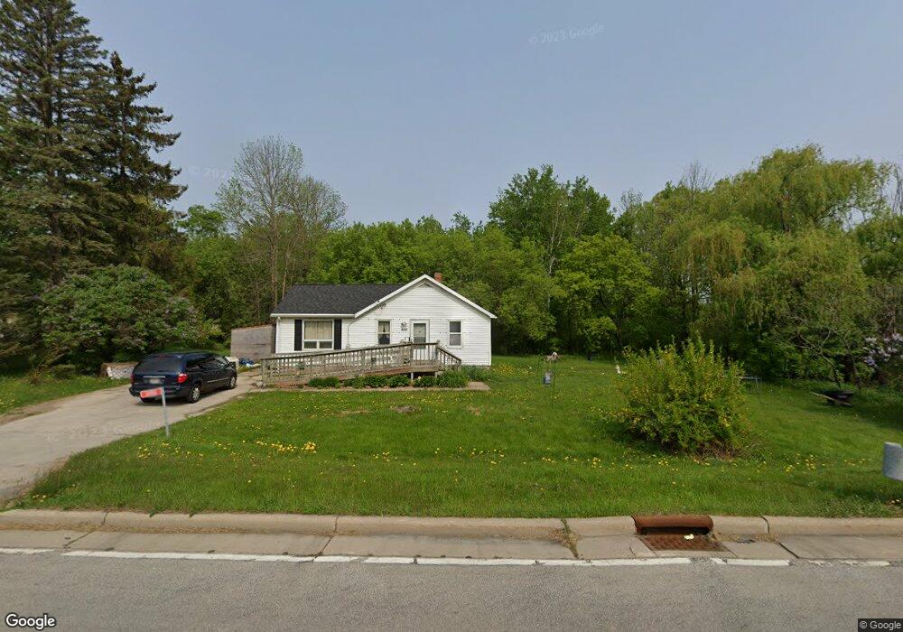
4176 W Mason St Oneida, WI 54155
Estimated Value: $304,000 - $448,000
--
Bed
--
Bath
--
Sq Ft
3.85
Acres
About This Home
This home is located at 4176 W Mason St, Oneida, WI 54155 and is currently estimated at $355,586. 4176 W Mason St is a home located in Brown County with nearby schools including Hemlock Creek Elementary School, West De Pere Middle School, and West De Pere High School.
Ownership History
Date
Name
Owned For
Owner Type
Purchase Details
Closed on
Nov 10, 2010
Sold by
King Michael S
Bought by
Doxtator Allen P and Doxtator Mary Jane
Current Estimated Value
Purchase Details
Closed on
Jan 14, 2010
Sold by
King Michael S
Bought by
Doxtator Mary Jane and Doxtator Allen P
Purchase Details
Closed on
Jan 8, 2010
Sold by
King Michael S
Bought by
Doxtator Mary Jane and Doxtator Allen P
Purchase Details
Closed on
Apr 14, 2009
Sold by
King Michael S
Bought by
Doxtator Allen
Purchase Details
Closed on
May 13, 2008
Sold by
Doxtator Mary and Doxtator Allen P
Bought by
Doxtator Mary and Doxtator Allen P
Purchase Details
Closed on
Aug 29, 2002
Sold by
Doxtator Alfaro Maria J and Alfaro Jaime
Bought by
Doxtator Mary J and Doxtator Allen P
Create a Home Valuation Report for This Property
The Home Valuation Report is an in-depth analysis detailing your home's value as well as a comparison with similar homes in the area
Home Values in the Area
Average Home Value in this Area
Purchase History
| Date | Buyer | Sale Price | Title Company |
|---|---|---|---|
| Doxtator Allen P | -- | None Available | |
| Doxtator Mary Jane | $500 | None Available | |
| Doxtator Mary Jane | $500 | None Available | |
| Doxtator Allen | $1,000 | None Available | |
| Doxtator Mary | -- | None Available | |
| Doxtator Mary J | -- | -- |
Source: Public Records
Tax History Compared to Growth
Tax History
| Year | Tax Paid | Tax Assessment Tax Assessment Total Assessment is a certain percentage of the fair market value that is determined by local assessors to be the total taxable value of land and additions on the property. | Land | Improvement |
|---|---|---|---|---|
| 2024 | $3,357 | $209,600 | $58,400 | $151,200 |
| 2023 | $3,167 | $209,600 | $58,400 | $151,200 |
| 2022 | $3,221 | $209,600 | $58,400 | $151,200 |
| 2021 | $3,226 | $209,600 | $58,400 | $151,200 |
| 2020 | $3,313 | $168,600 | $45,200 | $123,400 |
| 2019 | $3,197 | $168,600 | $45,200 | $123,400 |
| 2018 | $3,157 | $168,600 | $45,200 | $123,400 |
| 2017 | $3,156 | $168,600 | $45,200 | $123,400 |
| 2016 | $3,219 | $168,600 | $45,200 | $123,400 |
| 2015 | $3,384 | $168,600 | $45,200 | $123,400 |
| 2014 | $3,310 | $168,600 | $45,200 | $123,400 |
| 2013 | $3,310 | $168,600 | $45,200 | $123,400 |
Source: Public Records
Map
Nearby Homes
- 3111 Ferndell Acres Dr
- 3776 N Overland Rd
- 503 Cross Country Ct
- 517 Cross Country Ct
- 598 Cross Country Ct
- 500 Cross Country Ct
- 524 Cross Country Ct
- 3820 National St
- 1940 Renaissance Ct
- 1602 W Crusade Ln
- 4104 Blackberry Ridge Dr
- 4113 Blackberry Ridge Dr
- 4141 Blackberry Ridge Dr
- 3097 S Sandstone Ct
- 3096 S Sandstone Ct
- 4169 Blackberry Ridge Dr
- 4137 Blackberry Ridge Ct
- 3023 Crusade Ln
- 3102 Sandstone Ct
- 772 Brookwood Cir
- 4164 W Mason St
- 4174 W Mason St
- 4180 W Mason St
- 4184 W Mason St
- 4100 W Mason St Unit BLOCK
- 4187 W Mason St
- 3038 Freedom Rd
- 4204 W Mason St
- 2997 Freedom Rd
- 2975 Freedom Rd
- 445 Airport Dr
- 3070 W Mason St
- 3000 W Service Rd Unit BLOCK
- 3110 W Service Rd
- 492 Airport Dr
- 3087 W Service Rd
- 3096 W Service Rd
- 3093 W Service Rd
- W131 W Service Rd
- 161 Riverdale Dr