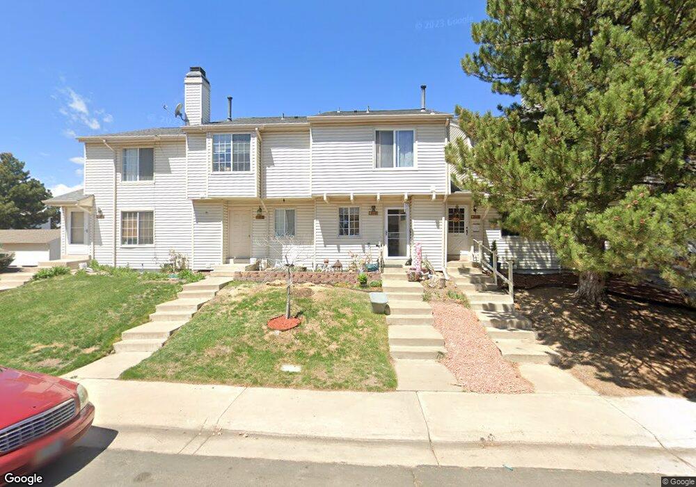
4177 S Mobile Cir Unit E Aurora, CO 80013
Mission Viejo NeighborhoodEstimated Value: $333,000 - $355,617
3
Beds
3
Baths
1,188
Sq Ft
$292/Sq Ft
Est. Value
About This Home
This home is located at 4177 S Mobile Cir Unit E, Aurora, CO 80013 and is currently estimated at $347,404, approximately $292 per square foot. 4177 S Mobile Cir Unit E is a home located in Arapahoe County with nearby schools including Mission Viejo Elementary School, Laredo Middle School, and Smoky Hill High School.
Ownership History
Date
Name
Owned For
Owner Type
Purchase Details
Closed on
Sep 9, 2023
Sold by
Locricchio Daniel V and Locricchio Julia D
Bought by
4177Edjl Llc
Current Estimated Value
Purchase Details
Closed on
Oct 1, 1985
Sold by
Conversion Arapco
Bought by
Conversion Arapco
Purchase Details
Closed on
Mar 1, 1984
Sold by
Conversion Arapco
Bought by
Conversion Arapco
Purchase Details
Closed on
Jun 1, 1981
Sold by
Conversion Arapco
Bought by
Conversion Arapco
Purchase Details
Closed on
Jul 4, 1776
Bought by
Conversion Arapco
Create a Home Valuation Report for This Property
The Home Valuation Report is an in-depth analysis detailing your home's value as well as a comparison with similar homes in the area
Home Values in the Area
Average Home Value in this Area
Purchase History
| Date | Buyer | Sale Price | Title Company |
|---|---|---|---|
| 4177Edjl Llc | -- | None Listed On Document | |
| Conversion Arapco | -- | -- | |
| Conversion Arapco | -- | -- | |
| Conversion Arapco | -- | -- | |
| Conversion Arapco | -- | -- |
Source: Public Records
Tax History
| Year | Tax Paid | Tax Assessment Tax Assessment Total Assessment is a certain percentage of the fair market value that is determined by local assessors to be the total taxable value of land and additions on the property. | Land | Improvement |
|---|---|---|---|---|
| 2025 | $1,670 | $22,831 | -- | -- |
| 2024 | $1,472 | $21,279 | -- | -- |
| 2023 | $1,472 | $21,279 | $0 | $0 |
| 2022 | $1,345 | $18,570 | $0 | $0 |
| 2021 | $1,354 | $18,570 | $0 | $0 |
| 2020 | $1,396 | $19,441 | $0 | $0 |
| 2019 | $1,347 | $19,441 | $0 | $0 |
| 2018 | $1,133 | $15,365 | $0 | $0 |
| 2017 | $1,117 | $15,365 | $0 | $0 |
| 2016 | $798 | $10,292 | $0 | $0 |
| 2015 | $759 | $10,292 | $0 | $0 |
| 2014 | -- | $7,005 | $0 | $0 |
| 2013 | -- | $6,940 | $0 | $0 |
Source: Public Records
Map
Nearby Homes
- 4221 S Mobile Cir Unit A
- 4229 S Mobile Cir Unit B
- 4104 S Laredo Way
- 4137 S Mobile Cir Unit E
- 4105 S Laredo Way
- 4130 S Laredo Way
- 4212 S Laredo Way
- 16038 E Oxford Dr
- 16373 E Rice Place Unit B
- 16877 E Napa Dr
- 16897 E Napa Dr
- 16845 E Navarro Dr
- 15915 E Mercer Cir
- 16505 E Stanford Place
- 16229 E Stanford Place
- 16656 E Mansfield Cir
- 4005 S Pitkin Way
- 3984 S Pitkin Way
- 4557 S Laredo St
- 15889 E Mansfield Ave
- 4177 S Mobile Cir Unit A
- 4177 S Mobile Cir Unit B
- 4177 S Mobile Cir Unit C
- 4177 S Mobile Cir Unit D
- 4177 S Mobile Cir
- 4197 S Mobile Cir Unit D
- 4197 S Mobile Cir Unit C
- 4197 S Mobile Cir Unit B
- 4197 S Mobile Cir Unit A
- 4197 S Mobile Cir
- 4188 S Mobile Cir Unit D
- 4188 S Mobile Cir Unit C
- 4188 S Mobile Cir Unit B
- 4188 S Mobile Cir Unit A
- 4198 S Mobile Cir Unit D
- 4198 S Mobile Cir Unit C
- 4198 S Mobile Cir Unit B
- 4198 S Mobile Cir Unit A
- 4198 S Mobile Cir
- 4187 S Mobile Cir Unit A