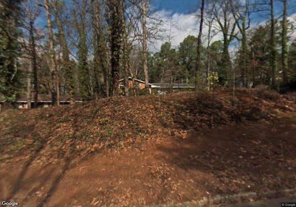
4178 Durham Cir Stone Mountain, GA 30083
Estimated Value: $276,933 - $320,000
4
Beds
3
Baths
2,244
Sq Ft
$132/Sq Ft
Est. Value
About This Home
This home is located at 4178 Durham Cir, Stone Mountain, GA 30083 and is currently estimated at $296,233, approximately $132 per square foot. 4178 Durham Cir is a home located in DeKalb County with nearby schools including Allgood Elementary School, Freedom Middle School, and Clarkston High School.
Ownership History
Date
Name
Owned For
Owner Type
Purchase Details
Closed on
Oct 24, 2017
Sold by
Tah 2015 1 Borrower Llc
Bought by
Tah Ms Borrower Llc
Current Estimated Value
Purchase Details
Closed on
May 12, 2015
Sold by
Castle Atlanta Holding Lp
Bought by
Tah 2015 1 Borrower Llc
Purchase Details
Closed on
Jan 7, 2014
Sold by
Tekeste Belay
Bought by
Castle Atlanta Holding Lp
Purchase Details
Closed on
Jun 25, 1997
Sold by
Emc Mortgage Corp
Bought by
Tekeste Belay
Home Financials for this Owner
Home Financials are based on the most recent Mortgage that was taken out on this home.
Original Mortgage
$78,750
Interest Rate
7.93%
Mortgage Type
New Conventional
Purchase Details
Closed on
Nov 1, 1993
Sold by
Langford Nancy
Bought by
Jennings William
Create a Home Valuation Report for This Property
The Home Valuation Report is an in-depth analysis detailing your home's value as well as a comparison with similar homes in the area
Home Values in the Area
Average Home Value in this Area
Purchase History
| Date | Buyer | Sale Price | Title Company |
|---|---|---|---|
| Tah Ms Borrower Llc | -- | -- | |
| Tah 2015 1 Borrower Llc | -- | -- | |
| Castle Atlanta Holding Lp | -- | -- | |
| Tekeste Belay | $105,000 | -- | |
| Jennings William | $72,000 | -- |
Source: Public Records
Mortgage History
| Date | Status | Borrower | Loan Amount |
|---|---|---|---|
| Previous Owner | Tekeste Belay | $78,750 | |
| Closed | Jennings William | -- |
Source: Public Records
Tax History
| Year | Tax Paid | Tax Assessment Tax Assessment Total Assessment is a certain percentage of the fair market value that is determined by local assessors to be the total taxable value of land and additions on the property. | Land | Improvement |
|---|---|---|---|---|
| 2025 | $4,729 | $97,600 | $16,000 | $81,600 |
| 2024 | $4,867 | $100,800 | $16,000 | $84,800 |
| 2023 | $4,867 | $97,080 | $16,000 | $81,080 |
Source: Public Records
Map
Nearby Homes
- 1159 Rowland Rd
- 863 Brafferton Place
- 1051 Rowland Rd
- 4094 Carlisle Place
- 4228 Kings Troop Rd
- 1010 Allgood Rd
- 1093 S Indian Creek Dr
- 4048 Carlinswood Way
- 4036 Carlinswood Way
- 4157 Autumn Hill Dr
- 957 Rowland Rd
- 4447 Lake Breeze Dr
- 905 S Indian Creek Dr
- 2050 Crossing Rd
- 4408 Redan Rd
- 4011 Redan Rd Unit 10
- 4428 Nantucket Cove
- 3958 Durham Park Rd
- 4406 Carriage Trail
- 1346 S Indian Creek Dr
- 4170 Durham Cir
- 4186 Durham Cir
- 4162 Durham Cir
- 4200 Durham Cir
- 4177 Durham Cir Unit 4
- 1132 Rowland Rd Unit 2
- 4185 Durham Cir
- 1112 Rowland Rd
- 4140 Durham Cir
- 4169 Durham Cir Unit 4
- 1102 Rowland Rd
- 4193 Durham Cir
- 4210 Durham Cir
- 1144 Rowland Rd
- 4159 Durham Cir
- 4201 Durham Cir
- 4126 Durham Cir
- 1154 Rowland Rd
- 4209 Durham Cir
- 4151 Durham Cir
Your Personal Tour Guide
Ask me questions while you tour the home.