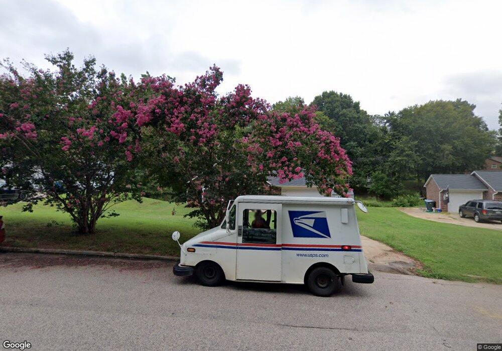
418 Ashbrook Rd Salisbury, NC 28147
Estimated Value: $224,000 - $261,000
Studio
2
Baths
1,196
Sq Ft
$199/Sq Ft
Est. Value
About This Home
This home is located at 418 Ashbrook Rd, Salisbury, NC 28147 and is currently estimated at $238,395, approximately $199 per square foot. 418 Ashbrook Rd is a home located in Rowan County with nearby schools including H D Isenberg Elementary, West Rowan Middle School, and West Rowan High School.
Ownership History
Date
Name
Owned For
Owner Type
Purchase Details
Closed on
Jun 8, 2022
Sold by
Angela Mangham
Bought by
Mangham Angela and Neely Adrian
Current Estimated Value
Home Financials for this Owner
Home Financials are based on the most recent Mortgage that was taken out on this home.
Original Mortgage
$155,000
Outstanding Balance
$137,966
Interest Rate
4.32%
Mortgage Type
New Conventional
Estimated Equity
$100,429
Purchase Details
Closed on
Jan 4, 2016
Sold by
Mangham Lucius Dexter
Bought by
Neely Angela and Mangham Angela Neely
Create a Home Valuation Report for This Property
The Home Valuation Report is an in-depth analysis detailing your home's value as well as a comparison with similar homes in the area
Purchase History
| Date | Buyer | Sale Price | Title Company |
|---|---|---|---|
| Mangham Angela | -- | Boston National Title | |
| Neely Angela | -- | None Available |
Source: Public Records
Mortgage History
| Date | Status | Borrower | Loan Amount |
|---|---|---|---|
| Open | Mangham Angela | $155,000 |
Source: Public Records
Tax History
| Year | Tax Paid | Tax Assessment Tax Assessment Total Assessment is a certain percentage of the fair market value that is determined by local assessors to be the total taxable value of land and additions on the property. | Land | Improvement |
|---|---|---|---|---|
| 2025 | $2,047 | $171,187 | $35,000 | $136,187 |
| 2024 | $2,047 | $171,187 | $35,000 | $136,187 |
| 2023 | $2,047 | $171,187 | $35,000 | $136,187 |
| 2022 | $1,724 | $125,167 | $23,000 | $102,167 |
| 2021 | $1,724 | $125,167 | $23,000 | $102,167 |
| 2020 | $1,724 | $125,167 | $23,000 | $102,167 |
| 2019 | $1,724 | $125,167 | $23,000 | $102,167 |
| 2018 | $1,452 | $106,861 | $23,000 | $83,861 |
| 2017 | $1,444 | $106,861 | $23,000 | $83,861 |
| 2016 | $1,405 | $106,861 | $23,000 | $83,861 |
| 2015 | $1,413 | $106,861 | $23,000 | $83,861 |
| 2014 | $1,404 | $107,428 | $23,000 | $84,428 |
Source: Public Records
Map
Nearby Homes
- 427 Willow Rd
- 7 Post Oak Place
- 101 Hemlock Dr
- 202 Cedarwood Dr
- 114 Elmwood Dr
- 575 Cooley Dr
- 569 Cooley Dr
- 563 Cooley Dr
- The Harrington Plan at Winecoff
- The Coleman Plan at Winecoff
- The Crawford Plan at Winecoff
- The Bradley Plan at Winecoff
- The Benson II Plan at Winecoff
- The McGinnis Plan at Winecoff
- The Braselton II Plan at Winecoff
- The Piedmont Plan at Winecoff
- The Grayson Plan at Winecoff
- 000 Statesville Blvd
- 218 Saint Francis Rd
- 2417 Statesville Blvd
- 420 Ashbrook Rd
- 416 Ashbrook Rd
- 220 Cedarwood Dr
- 422 Ashbrook Rd
- 414 Ashbrook Rd
- 219 Cedarwood Dr
- 424 Ashbrook Rd
- 218 Cedarwood Dr
- 421 Ashbrook Rd
- 412 Ashbrook Rd
- 217 Cedarwood Dr
- 413 Ashbrook Rd
- 410 Ashbrook Rd
- 216 Cedarwood Dr
- 112 Tall Pine Cir
- 120 Tree Top Ct
- 433 Willow Rd
- 114 Tall Pine Cir
- 116 Tree Top Ct
- 431 Willow Rd
