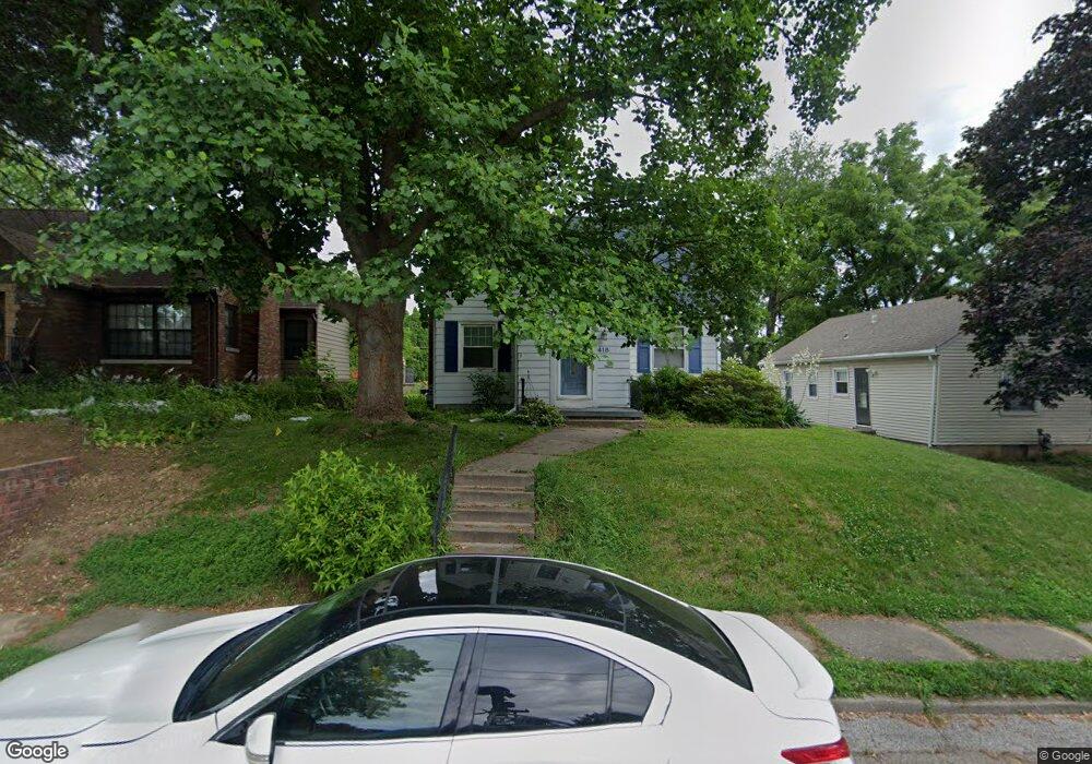
418 E High St Davenport, IA 52803
Near North Side NeighborhoodEstimated Value: $163,507 - $212,000
4
Beds
3
Baths
1,776
Sq Ft
$100/Sq Ft
Est. Value
About This Home
This home is located at 418 E High St, Davenport, IA 52803 and is currently estimated at $177,127, approximately $99 per square foot. 418 E High St is a home located in Scott County with nearby schools including Crofton Elementary School, Christian County Day Treatment Center Alt, and Casey County Middle School.
Ownership History
Date
Name
Owned For
Owner Type
Purchase Details
Closed on
Jul 1, 2014
Sold by
Hubbard Lucas C and Hubbard Adriane
Bought by
Moyer Kristine
Current Estimated Value
Purchase Details
Closed on
Nov 15, 2011
Sold by
Masat James A and Masat Christine D
Bought by
Hubbard Lucas C
Home Financials for this Owner
Home Financials are based on the most recent Mortgage that was taken out on this home.
Original Mortgage
$118,340
Interest Rate
3.97%
Mortgage Type
New Conventional
Purchase Details
Closed on
Jan 19, 2005
Sold by
Soedt Randall G and Soedt Judy K
Bought by
Masat James A and Masat Christine D
Home Financials for this Owner
Home Financials are based on the most recent Mortgage that was taken out on this home.
Original Mortgage
$112,365
Interest Rate
5.83%
Mortgage Type
VA
Create a Home Valuation Report for This Property
The Home Valuation Report is an in-depth analysis detailing your home's value as well as a comparison with similar homes in the area
Home Values in the Area
Average Home Value in this Area
Purchase History
| Date | Buyer | Sale Price | Title Company |
|---|---|---|---|
| Moyer Kristine | $130,000 | None Available | |
| Hubbard Lucas C | $122,000 | None Available | |
| Masat James A | $110,000 | None Available |
Source: Public Records
Mortgage History
| Date | Status | Borrower | Loan Amount |
|---|---|---|---|
| Previous Owner | Hubbard Lucas C | $118,340 | |
| Previous Owner | Masat James A | $112,365 |
Source: Public Records
Tax History Compared to Growth
Tax History
| Year | Tax Paid | Tax Assessment Tax Assessment Total Assessment is a certain percentage of the fair market value that is determined by local assessors to be the total taxable value of land and additions on the property. | Land | Improvement |
|---|---|---|---|---|
| 2025 | $2,130 | $156,380 | $26,950 | $129,430 |
| 2024 | $2,314 | $143,100 | $26,950 | $116,150 |
| 2023 | $2,554 | $143,100 | $26,950 | $116,150 |
| 2022 | $2,552 | $128,430 | $20,830 | $107,600 |
| 2021 | $2,552 | $127,850 | $20,830 | $107,020 |
| 2020 | $2,464 | $122,220 | $20,830 | $101,390 |
| 2019 | $2,488 | $119,400 | $20,830 | $98,570 |
| 2018 | $2,368 | $119,400 | $20,830 | $98,570 |
| 2017 | $648 | $116,580 | $20,830 | $95,750 |
| 2016 | $2,218 | $110,010 | $0 | $0 |
| 2015 | $2,218 | $117,130 | $0 | $0 |
| 2014 | $2,602 | $117,130 | $0 | $0 |
| 2013 | $2,556 | $0 | $0 | $0 |
| 2012 | -- | $108,380 | $18,500 | $89,880 |
Source: Public Records
Map
Nearby Homes
- 2024 Farnam St
- 402 E Rusholme St
- 2211 Farnam St
- 625 E High St
- 2319 Leclaire St
- 224 E Rusholme St
- 2307 Farnam St
- 325 E Dover Ct
- 2215 Grand Ave
- 1812 Pershing Ave
- 125 E Locust St Unit 127
- 618 Douglas Ct
- 420 Kirkwood Blvd
- 2506 Farnam St
- 2501 Brady St
- 2118 Arlington Ave
- 230 Kirkwood Blvd
- 11 Oak Ln
- 2528 Farnam St
- 325 Kirkwood Blvd
- 2104 Leclaire St
- 414 E High St
- 408 E High St
- 2030 Leclaire St
- 404 E High St
- 417 E Lombard St
- 2028 Leclaire St
- 413 E Lombard St
- 423 E Lombard St
- 502 E High St
- 409 E High St
- 407 E Lombard St
- 2024 Leclaire St
- 2119 Leclaire St
- 403 E Lombard St
- 326 E High St
- 2121 Leclaire St
- 2037 Leclaire St
- 2033 Iowa St
- 512 E High St