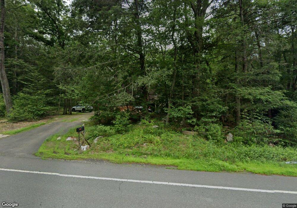
418 Long Plain Rd Leverett, MA 01054
Estimated Value: $377,000 - $397,000
3
Beds
2
Baths
1,176
Sq Ft
$331/Sq Ft
Est. Value
About This Home
This home is located at 418 Long Plain Rd, Leverett, MA 01054 and is currently estimated at $388,754, approximately $330 per square foot. 418 Long Plain Rd is a home located in Franklin County with nearby schools including Leverett Elementary School, Amherst Regional Middle School, and Amherst Regional High School.
Ownership History
Date
Name
Owned For
Owner Type
Purchase Details
Closed on
Jun 3, 1992
Sold by
Sprngfld Inst For Svgs
Bought by
Lafferty Kathleen
Current Estimated Value
Purchase Details
Closed on
Mar 9, 1992
Sold by
Dunn Robert E
Bought by
Sprngfld Inst For Svgs
Purchase Details
Closed on
Aug 30, 1989
Sold by
Gauthier Douglas A
Bought by
Dunn Robert E
Create a Home Valuation Report for This Property
The Home Valuation Report is an in-depth analysis detailing your home's value as well as a comparison with similar homes in the area
Home Values in the Area
Average Home Value in this Area
Purchase History
| Date | Buyer | Sale Price | Title Company |
|---|---|---|---|
| Lafferty Kathleen | $92,002 | -- | |
| Sprngfld Inst For Svgs | $5,500 | -- | |
| Sprngfld Inst For Svgs | $75,000 | -- | |
| Dunn Robert E | $126,000 | -- |
Source: Public Records
Mortgage History
| Date | Status | Borrower | Loan Amount |
|---|---|---|---|
| Open | Dunn Robert E | $10,000 | |
| Open | Dunn Robert E | $125,100 |
Source: Public Records
Tax History Compared to Growth
Tax History
| Year | Tax Paid | Tax Assessment Tax Assessment Total Assessment is a certain percentage of the fair market value that is determined by local assessors to be the total taxable value of land and additions on the property. | Land | Improvement |
|---|---|---|---|---|
| 2025 | $4,818 | $317,400 | $70,000 | $247,400 |
| 2024 | $4,990 | $317,400 | $70,000 | $247,400 |
| 2023 | $4,595 | $286,800 | $81,100 | $205,700 |
| 2022 | $4,375 | $232,200 | $75,400 | $156,800 |
| 2021 | $4,423 | $224,200 | $71,900 | $152,300 |
| 2020 | $4,532 | $221,200 | $71,900 | $149,300 |
| 2019 | $4,433 | $212,200 | $62,900 | $149,300 |
| 2018 | $4,252 | $202,000 | $62,900 | $139,100 |
| 2017 | $4,232 | $202,000 | $62,900 | $139,100 |
| 2016 | $4,123 | $202,000 | $62,900 | $139,100 |
| 2015 | $4,016 | $202,000 | $62,900 | $139,100 |
Source: Public Records
Map
Nearby Homes
- 10 Hannabrooke Dr
- 35 A N Leverett Rd
- 2 Gunn Rd
- 10 Depot Rd
- 0 Dudleyville Rd
- 113 Juggler Meadow Rd
- 0 Pocumtuck Dr Unit 73379330
- 59 N Hillside Rd
- Lot 2, January Hills Rd
- Lot A January Hills Rd
- Lot 3A-3 Leverett Rd
- 15 S Plain Rd
- 15 Crestview Dr
- 38 S Plain Rd
- 33 Eastern Ave
- 85 Lake Dr
- 84 Lake Dr
- 13 Capt Lathrop Dr
- 6 Shattuck Rd
- 0 Shore Dr
- 416 Long Plain Rd
- 420 Long Plain Rd
- 417 Long Plain Rd
- 422 Long Plain Rd
- 412 Long Plain Rd
- 410 Long Plain Rd
- 426 Long Plain Rd
- 425 Long Plain Rd
- 430 Long Plain Rd
- 434 Long Plain Rd
- 260 Montague Rd
- 270 Montague Rd
- LOT 0 Long Plain Rd
- 436 Long Plain Rd
- 257 Montague Rd
- 267 Montague Rd
- 438 Long Plain Rd
- 249 Montague Rd
- 446 Long Plain Rd
- 247 Montague Rd