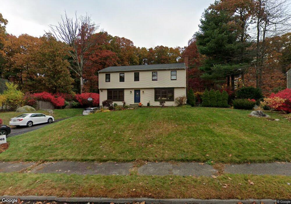
418 Oakland Pkwy Franklin, MA 02038
Estimated Value: $724,183 - $884,000
5
Beds
4
Baths
2,244
Sq Ft
$361/Sq Ft
Est. Value
About This Home
This home is located at 418 Oakland Pkwy, Franklin, MA 02038 and is currently estimated at $809,546, approximately $360 per square foot. 418 Oakland Pkwy is a home located in Norfolk County with nearby schools including John F. Kennedy Memorial School, Horace Mann Middle School, and Franklin High School.
Ownership History
Date
Name
Owned For
Owner Type
Purchase Details
Closed on
Sep 15, 1999
Sold by
Sottile Anthony W and Sottile Anne R
Bought by
Kerr Timothy J and Kerr Karen A
Current Estimated Value
Home Financials for this Owner
Home Financials are based on the most recent Mortgage that was taken out on this home.
Original Mortgage
$163,000
Interest Rate
7.83%
Mortgage Type
Purchase Money Mortgage
Purchase Details
Closed on
Nov 8, 1996
Sold by
Mac Homes Inc
Bought by
Oakland Corp
Create a Home Valuation Report for This Property
The Home Valuation Report is an in-depth analysis detailing your home's value as well as a comparison with similar homes in the area
Home Values in the Area
Average Home Value in this Area
Purchase History
| Date | Buyer | Sale Price | Title Company |
|---|---|---|---|
| Kerr Timothy J | $263,000 | -- | |
| Oakland Corp | $104,725 | -- |
Source: Public Records
Mortgage History
| Date | Status | Borrower | Loan Amount |
|---|---|---|---|
| Open | Oakland Corp | $254,000 | |
| Closed | Oakland Corp | $163,000 | |
| Previous Owner | Oakland Corp | $146,300 |
Source: Public Records
Tax History Compared to Growth
Tax History
| Year | Tax Paid | Tax Assessment Tax Assessment Total Assessment is a certain percentage of the fair market value that is determined by local assessors to be the total taxable value of land and additions on the property. | Land | Improvement |
|---|---|---|---|---|
| 2025 | $7,025 | $604,600 | $328,000 | $276,600 |
| 2024 | $7,012 | $594,700 | $328,000 | $266,700 |
| 2023 | $6,766 | $537,800 | $279,600 | $258,200 |
| 2022 | $6,304 | $448,700 | $220,100 | $228,600 |
| 2021 | $6,219 | $424,500 | $247,200 | $177,300 |
| 2020 | $5,891 | $406,000 | $237,000 | $169,000 |
| 2019 | $5,802 | $395,800 | $226,900 | $168,900 |
| 2018 | $5,437 | $371,100 | $218,800 | $152,300 |
| 2017 | $5,174 | $354,900 | $202,600 | $152,300 |
| 2016 | $5,042 | $347,700 | $217,500 | $130,200 |
| 2015 | $4,998 | $336,800 | $206,600 | $130,200 |
| 2014 | $4,500 | $311,400 | $181,200 | $130,200 |
Source: Public Records
Map
Nearby Homes
- 2 Noanet Brook Ln
- 60 Southgate Rd
- 41 Kimberlee Ave
- 208 Irondequoit Rd
- 336 Maple St
- 2 Kayla Dr
- 951 Pond St
- 159 Highwood Dr
- 2211 Franklin Crossing Rd Unit 2211
- 1805 Franklin Crossing Rd
- 66 Highwood Dr
- 214 Conlyn Ave
- 605 Franklin Crossing Rd
- 31 Highwood Dr
- 17 Pine St
- 14 Hawthorne Village Unit D
- 18 Mary Anne Dr
- 57 Raymond St Unit 2
- 0 Elm St
- 732 Lincoln St