418 Sandusky Rd Shelbyville, TN 37160
Estimated Value: $687,000 - $956,126
--
Bed
2
Baths
2,478
Sq Ft
$326/Sq Ft
Est. Value
About This Home
This home is located at 418 Sandusky Rd, Shelbyville, TN 37160 and is currently estimated at $808,709, approximately $326 per square foot. 418 Sandusky Rd is a home located in Bedford County with nearby schools including Liberty Elementary School.
Ownership History
Date
Name
Owned For
Owner Type
Purchase Details
Closed on
Mar 4, 2013
Sold by
Mullins Stephen L
Bought by
Castillo Ramon and Castillo Amy
Current Estimated Value
Purchase Details
Closed on
Jul 24, 2000
Sold by
Coats Samuel W
Bought by
Mullins Stephen L and Mullins Virgin
Purchase Details
Closed on
Jan 13, 1999
Sold by
Heffner Jackson E And
Bought by
Hefner Jackson
Purchase Details
Closed on
Jul 16, 1994
Sold by
Jones Gary and Jones Joan
Bought by
Heffner Jackson
Purchase Details
Closed on
Apr 5, 1982
Bought by
Jones H Gary M
Create a Home Valuation Report for This Property
The Home Valuation Report is an in-depth analysis detailing your home's value as well as a comparison with similar homes in the area
Home Values in the Area
Average Home Value in this Area
Purchase History
| Date | Buyer | Sale Price | Title Company |
|---|---|---|---|
| Castillo Ramon | $592,500 | -- | |
| Mullins Stephen L | $197,500 | -- | |
| Hefner Jackson | -- | -- | |
| Heffner Jackson | -- | -- | |
| Jones H Gary M | -- | -- |
Source: Public Records
Tax History Compared to Growth
Tax History
| Year | Tax Paid | Tax Assessment Tax Assessment Total Assessment is a certain percentage of the fair market value that is determined by local assessors to be the total taxable value of land and additions on the property. | Land | Improvement |
|---|---|---|---|---|
| 2025 | $2,297 | $98,775 | $0 | $0 |
| 2024 | $2,297 | $98,775 | $26,325 | $72,450 |
| 2023 | $2,297 | $98,775 | $26,325 | $72,450 |
| 2022 | $2,297 | $98,775 | $26,325 | $72,450 |
| 2021 | $1,941 | $98,775 | $26,325 | $72,450 |
| 2020 | $1,636 | $98,775 | $26,325 | $72,450 |
| 2019 | $1,636 | $61,500 | $21,575 | $39,925 |
| 2018 | $1,574 | $61,500 | $21,575 | $39,925 |
| 2017 | $1,574 | $61,500 | $21,575 | $39,925 |
| 2016 | $1,550 | $61,500 | $0 | $0 |
| 2015 | $1,550 | $61,500 | $0 | $0 |
| 2014 | $1,298 | $57,188 | $0 | $0 |
Source: Public Records
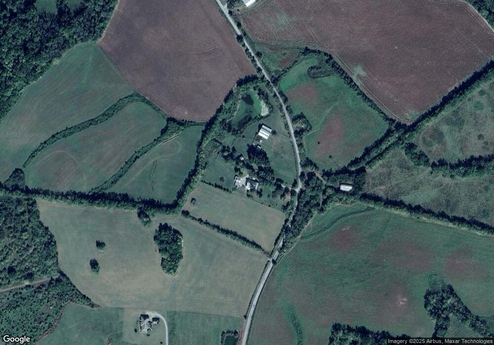
Map
Nearby Homes
- 1617 Highway 130 W
- 0 Adams Hollow Rd
- 2131 Highway 130 W
- 8 Farris Ln
- 0 Knight Campground Rd
- 3 Knight Campground Rd
- 7 Dixon Rd
- 12 Dixon Rd
- 321 Dixon Rd
- 3544 U S 231
- 0 Dixon Rd Unit RTC3045417
- 0 Highway 130 W
- 1261 Highway 130 W
- 1157 Mount Herman Rd
- 160 Sinking Creek Rd
- 2403 Highway 130 W
- 1106 Highway 130 W
- 1399 Goose Creek Rd
- 384 Adams Rd
- 422 Bethlehem Church Rd
- 357 Sandusky Rd
- 317 Sandusky Rd
- 482 Sandusky Rd
- 618 Sandusky Rd
- 1835 Highway 130 W
- 213 Sandusky Rd
- 206 Sandusky Rd
- 1888 Highway 130 W
- 1888 Tennessee 130
- 1836 Highway 130 W
- 1815 Tennessee 130
- 1815 Highway 130 W
- 1807 Highway 130 W
- 1807 Highway 130 W
- 1832 Highway 130 W
- 1824 Highway 130 W
- 2013 Highway 130 W
- 120 Adams Hollow Rd
- 364 Bluestocking Hollow Rd
- 364 Bluestocking Hollow Rd