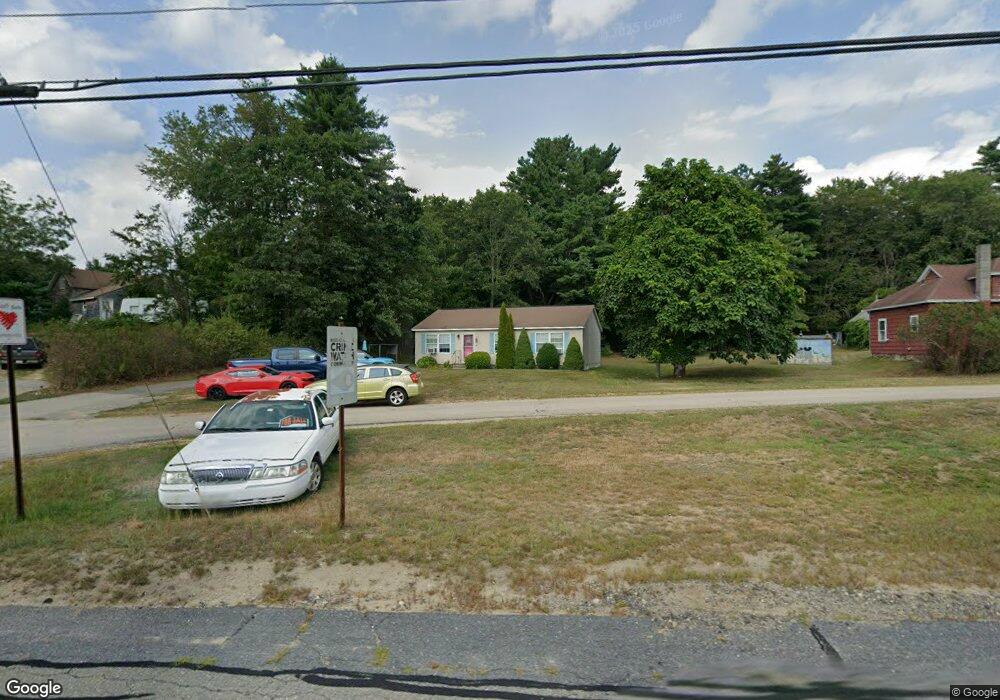
418 State Rd Baldwinville, MA 01436
Estimated Value: $366,095 - $421,000
3
Beds
2
Baths
1,232
Sq Ft
$321/Sq Ft
Est. Value
About This Home
This home is located at 418 State Rd, Baldwinville, MA 01436 and is currently estimated at $395,024, approximately $320 per square foot. 418 State Rd is a home located in Worcester County with nearby schools including Narragansett Regional High School and Holy Family Academy.
Ownership History
Date
Name
Owned For
Owner Type
Purchase Details
Closed on
Oct 31, 2008
Sold by
Brehio Darlene I and Brehio Steven R
Bought by
Albert Joseph G and Albert Tammy J
Current Estimated Value
Home Financials for this Owner
Home Financials are based on the most recent Mortgage that was taken out on this home.
Original Mortgage
$173,737
Outstanding Balance
$112,627
Interest Rate
5.83%
Mortgage Type
Purchase Money Mortgage
Estimated Equity
$282,397
Purchase Details
Closed on
Nov 9, 2006
Sold by
Est Greenough Dora B and Vilkas Vincent A
Bought by
Brehio Darlene and Brehio Steven
Create a Home Valuation Report for This Property
The Home Valuation Report is an in-depth analysis detailing your home's value as well as a comparison with similar homes in the area
Home Values in the Area
Average Home Value in this Area
Purchase History
| Date | Buyer | Sale Price | Title Company |
|---|---|---|---|
| Albert Joseph G | $179,900 | -- | |
| Brehio Darlene | -- | -- | |
| Brehio Darlene | $59,000 | -- |
Source: Public Records
Mortgage History
| Date | Status | Borrower | Loan Amount |
|---|---|---|---|
| Open | Albert Joseph G | $173,737 |
Source: Public Records
Tax History
| Year | Tax Paid | Tax Assessment Tax Assessment Total Assessment is a certain percentage of the fair market value that is determined by local assessors to be the total taxable value of land and additions on the property. | Land | Improvement |
|---|---|---|---|---|
| 2025 | $3,891 | $321,000 | $43,300 | $277,700 |
| 2024 | $3,722 | $295,400 | $37,600 | $257,800 |
| 2023 | $3,528 | $273,100 | $37,600 | $235,500 |
| 2022 | $3,661 | $240,200 | $27,000 | $213,200 |
| 2021 | $3,787 | $214,900 | $27,000 | $187,900 |
| 2020 | $3,243 | $192,700 | $27,000 | $165,700 |
| 2018 | $2,759 | $165,000 | $24,500 | $140,500 |
| 2017 | $2,729 | $160,400 | $24,500 | $135,900 |
| 2016 | $2,464 | $149,600 | $24,500 | $125,100 |
| 2015 | $2,506 | $150,600 | $25,800 | $124,800 |
| 2014 | $2,343 | $144,300 | $25,800 | $118,500 |
Source: Public Records
Map
Nearby Homes
- 354 State Rd
- 28 Holly Dr
- 34 Albert Dr
- 643 West St
- 531 Clark St
- 25 Bear Hill Rd
- 84 Century Way Unit 84
- 25 Century Way Unit 25
- 35 Princeton St
- 203 Brooks Rd
- 39 Highland Ave
- 10 Russell Farm Rd
- 133 Douglas Rd
- 9 Lily Ln
- 37 Draper Rd
- 30 Draper Rd
- 35 Halford St
- 84 Euclid St
- 3 Lots on Mill St
- 3 Lots Mill St
Your Personal Tour Guide
Ask me questions while you tour the home.