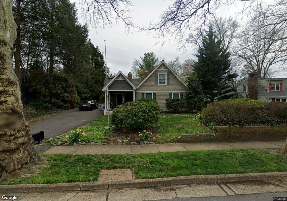
418 W 3rd St Moorestown, NJ 08057
Estimated Value: $499,000 - $708,000
--
Bed
--
Bath
2,837
Sq Ft
$225/Sq Ft
Est. Value
About This Home
This home is located at 418 W 3rd St, Moorestown, NJ 08057 and is currently estimated at $637,681, approximately $224 per square foot. 418 W 3rd St is a home located in Burlington County with nearby schools including George C. Baker Elementary School, Moorestown Upper Elementary School, and William Allen Middle School.
Ownership History
Date
Name
Owned For
Owner Type
Purchase Details
Closed on
Feb 4, 2016
Sold by
Powell Brian and Powell Michelle Lee
Bought by
Powell Brian
Current Estimated Value
Purchase Details
Closed on
May 31, 2002
Sold by
Mcwilliams Rex and Mcwilliams Carol
Bought by
Powell Brian and Lowden Michelle Lee
Home Financials for this Owner
Home Financials are based on the most recent Mortgage that was taken out on this home.
Original Mortgage
$220,000
Outstanding Balance
$93,612
Interest Rate
6.9%
Mortgage Type
Purchase Money Mortgage
Estimated Equity
$544,069
Purchase Details
Closed on
Dec 4, 1995
Sold by
Cummings Edward A
Bought by
Mcwilliams Rex and Mcwilliams Carol
Purchase Details
Closed on
Sep 15, 1995
Sold by
Tapper Thelma
Bought by
Williams Ronald W and Williams Chavella
Create a Home Valuation Report for This Property
The Home Valuation Report is an in-depth analysis detailing your home's value as well as a comparison with similar homes in the area
Home Values in the Area
Average Home Value in this Area
Purchase History
| Date | Buyer | Sale Price | Title Company |
|---|---|---|---|
| Powell Brian | -- | Attorney | |
| Powell Brian | $275,000 | -- | |
| Mcwilliams Rex | $133,230 | -- | |
| Williams Ronald W | $90,000 | -- |
Source: Public Records
Mortgage History
| Date | Status | Borrower | Loan Amount |
|---|---|---|---|
| Open | Powell Brian | $220,000 | |
| Closed | Mcwilliams Rex | -- |
Source: Public Records
Tax History Compared to Growth
Tax History
| Year | Tax Paid | Tax Assessment Tax Assessment Total Assessment is a certain percentage of the fair market value that is determined by local assessors to be the total taxable value of land and additions on the property. | Land | Improvement |
|---|---|---|---|---|
| 2025 | $9,819 | $346,100 | $140,600 | $205,500 |
| 2024 | $9,521 | $346,100 | $140,600 | $205,500 |
| 2023 | $9,521 | $346,100 | $140,600 | $205,500 |
| 2021 | $8,426 | $313,600 | $0 | $0 |
| 2020 | $8,373 | $313,600 | $0 | $0 |
| 2019 | $8,226 | $346,100 | $140,600 | $205,500 |
| 2018 | $8,003 | $346,100 | $140,600 | $205,500 |
| 2017 | $7,866 | $305,600 | $140,600 | $165,000 |
| 2016 | $7,839 | $305,600 | $140,600 | $165,000 |
| 2015 | $7,744 | $305,600 | $140,600 | $165,000 |
| 2014 | $7,353 | $305,600 | $140,600 | $165,000 |
Source: Public Records
Map
Nearby Homes
- 313 Fairview Ave
- 316 W 3rd St
- 531 Covington Terrace
- 601 Stratford Dr
- 423 Park Blvd
- 600 Stratford Dr
- 316 Farmdale Rd
- 308 Farmdale Rd
- 4 W Close
- 543 Bethel Ave
- 709 Manor Terrace
- 801 E Camden Ave
- 308 Kenwood Dr
- 129 S Church St
- 206 E Camden Ave
- 310 S Washington Ave
- 15 E 2nd St
- 149 Chalkboard Ct
- 21 Foxwood Dr Unit 21
- 4 E Sutton Ave