4183 Columbia Rd, Unit 223 North Olmsted, OH 44070
Estimated Value: $138,000 - $179,000
2
Beds
2
Baths
1,119
Sq Ft
$134/Sq Ft
Est. Value
About This Home
This home is located at 4183 Columbia Rd Unit 223, North Olmsted, OH 44070 and is currently estimated at $149,783, approximately $133 per square foot. 4183 Columbia Rd Unit 223 is a home located in Cuyahoga County with nearby schools including Maple Intermediate Elementary School, Pine Intermediate School, and North Olmsted Middle School.
Ownership History
Date
Name
Owned For
Owner Type
Purchase Details
Closed on
Mar 10, 1998
Sold by
Manco Frank J
Bought by
Peto Dale S
Current Estimated Value
Home Financials for this Owner
Home Financials are based on the most recent Mortgage that was taken out on this home.
Original Mortgage
$61,600
Interest Rate
7.23%
Purchase Details
Closed on
Apr 4, 1990
Sold by
Salabak Gertrude N
Bought by
Manco Mary E
Purchase Details
Closed on
Aug 1, 1978
Sold by
Salabak E N and G N
Bought by
Salabak Gertrude N
Purchase Details
Closed on
Jan 1, 1975
Bought by
Salabak E N and G N
Create a Home Valuation Report for This Property
The Home Valuation Report is an in-depth analysis detailing your home's value as well as a comparison with similar homes in the area
Home Values in the Area
Average Home Value in this Area
Purchase History
| Date | Buyer | Sale Price | Title Company |
|---|---|---|---|
| Peto Dale S | $77,000 | Real Estate Title | |
| Manco Mary E | $60,000 | -- | |
| Salabak Gertrude N | -- | -- | |
| Salabak E N | -- | -- |
Source: Public Records
Mortgage History
| Date | Status | Borrower | Loan Amount |
|---|---|---|---|
| Previous Owner | Peto Dale S | $61,600 |
Source: Public Records
Tax History Compared to Growth
Tax History
| Year | Tax Paid | Tax Assessment Tax Assessment Total Assessment is a certain percentage of the fair market value that is determined by local assessors to be the total taxable value of land and additions on the property. | Land | Improvement |
|---|---|---|---|---|
| 2024 | $1,886 | $37,310 | $3,745 | $33,565 |
| 2023 | $1,206 | $23,940 | $2,380 | $21,560 |
| 2022 | $1,234 | $23,940 | $2,380 | $21,560 |
| 2021 | $1,117 | $23,940 | $2,380 | $21,560 |
| 2020 | $1,017 | $21,000 | $2,100 | $18,900 |
| 2019 | $990 | $60,000 | $6,000 | $54,000 |
| 2018 | $1,004 | $21,000 | $2,100 | $18,900 |
| 2017 | $966 | $19,600 | $1,960 | $17,640 |
| 2016 | $957 | $19,600 | $1,960 | $17,640 |
| 2015 | $950 | $19,600 | $1,960 | $17,640 |
| 2014 | $1,224 | $22,540 | $2,240 | $20,300 |
Source: Public Records
About This Building
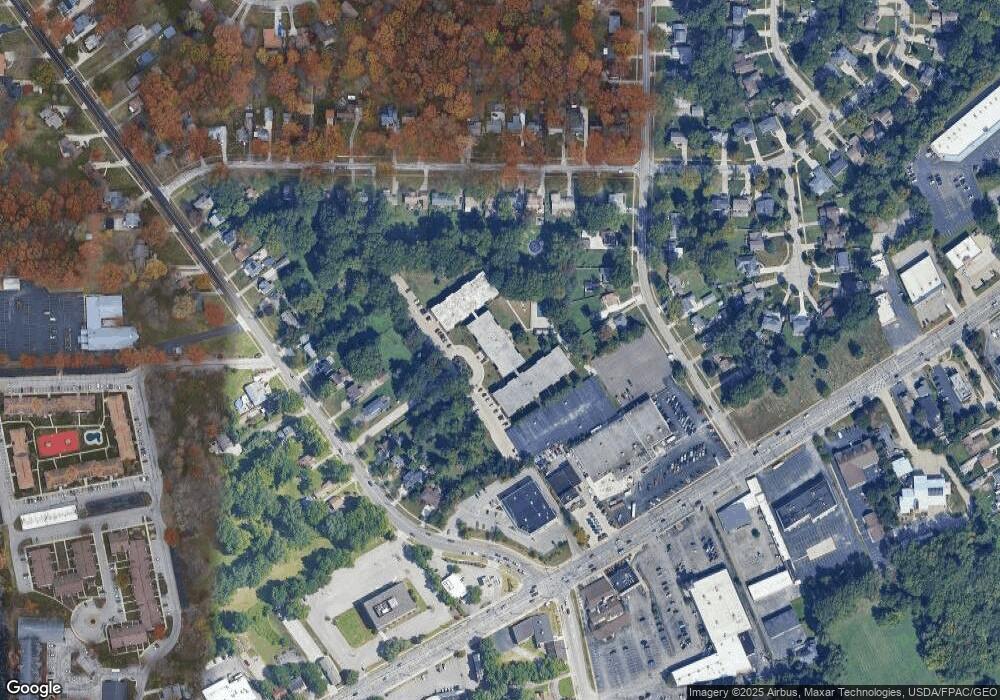
Map
Nearby Homes
- 4187 Columbia Rd Unit 126
- 25148 Tara Lynn Dr
- 25077 Doe Dr
- 24758 Doe Dr
- 3517 Walter Rd
- 23993 Fairlawn Dr
- 4505 Oak Cir
- 25775 Briarwood Ct
- 0 V L Clareshire Dr
- 25255 Maple Ridge Rd
- 4849 Grace Rd Unit 121
- 25735 Lorain Rd Unit 218
- 25735 Lorain Rd Unit 121
- 4590 Brendan Ln
- 4429 Canterbury Rd
- 3844 Woodpath Trail
- 25400 Maple Ridge Rd
- 4666 Brendan Cir
- 3463 Clague Rd
- 0 Mastick Rd Unit 5112571
- 4183 Columbia Rd Unit 323
- 4183 Columbia Rd Unit 301
- 4183 Columbia Rd Unit 204
- 4183 Columbia Rd Unit 321
- 4183 Columbia Rd Unit 305
- 4183 Columbia Rd Unit 221
- 4183 Columbia Rd Unit 104
- 4183 Columbia Rd Unit 103
- 4183 Columbia Rd Unit 203
- 4183 Columbia Rd Unit 201
- 4183 Columbia Rd Unit 220
- 4183 Columbia Rd Unit 322
- 4183 Columbia Rd Unit 315
- 4183 Columbia Rd Unit 102
- 4183 Columbia Rd Unit 218
- 4183 Columbia Rd Unit 203
- 4183 Columbia Rd Unit 302
- 4183 Columbia Rd
- 4183 Columbia Rd
- 4183 Columbia Rd