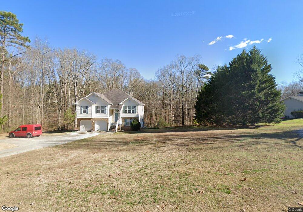
4185 N Puckett Rd Buford, GA 30519
Estimated Value: $432,000 - $476,000
3
Beds
3
Baths
1,548
Sq Ft
$289/Sq Ft
Est. Value
About This Home
This home is located at 4185 N Puckett Rd, Buford, GA 30519 and is currently estimated at $446,641, approximately $288 per square foot. 4185 N Puckett Rd is a home located in Hall County with nearby schools including Friendship Elementary School, C.W. Davis Middle School, and Flowery Branch High School.
Ownership History
Date
Name
Owned For
Owner Type
Purchase Details
Closed on
Sep 17, 2021
Sold by
Byrd Ronald C
Bought by
Mark Lloyd Family Real Estate Llc
Current Estimated Value
Purchase Details
Closed on
Jul 21, 2006
Sold by
Mitchell Tonya Lynn
Bought by
Byrd Ronald C and Knight Debra
Home Financials for this Owner
Home Financials are based on the most recent Mortgage that was taken out on this home.
Original Mortgage
$171,200
Interest Rate
6.54%
Mortgage Type
New Conventional
Purchase Details
Closed on
Jun 21, 2003
Sold by
Loveless Tonya Lynn
Bought by
Mitchell Tonya Lynn
Purchase Details
Closed on
Jun 20, 2003
Sold by
Mitchell Rebecca Ann and Stanley Ray
Bought by
Loveless Tonya Lynn and Tonya Lynn Mitche
Purchase Details
Closed on
Aug 12, 1998
Sold by
Mitchell Rebecca Ann
Bought by
Mitchell Rebecca Ann
Create a Home Valuation Report for This Property
The Home Valuation Report is an in-depth analysis detailing your home's value as well as a comparison with similar homes in the area
Home Values in the Area
Average Home Value in this Area
Purchase History
| Date | Buyer | Sale Price | Title Company |
|---|---|---|---|
| Mark Lloyd Family Real Estate Llc | $350,000 | -- | |
| Byrd Ronald C | $214,000 | -- | |
| Mitchell Tonya Lynn | -- | -- | |
| Loveless Tonya Lynn | -- | -- | |
| Mitchell Rebecca Ann | -- | -- |
Source: Public Records
Mortgage History
| Date | Status | Borrower | Loan Amount |
|---|---|---|---|
| Previous Owner | Byrd Ronald C | $171,200 |
Source: Public Records
Tax History Compared to Growth
Tax History
| Year | Tax Paid | Tax Assessment Tax Assessment Total Assessment is a certain percentage of the fair market value that is determined by local assessors to be the total taxable value of land and additions on the property. | Land | Improvement |
|---|---|---|---|---|
| 2024 | $4,171 | $166,040 | $32,480 | $133,560 |
| 2023 | $3,978 | $158,200 | $32,480 | $125,720 |
| 2022 | $3,570 | $135,880 | $32,480 | $103,400 |
| 2021 | $994 | $101,640 | $32,480 | $69,160 |
| 2020 | $986 | $98,520 | $32,480 | $66,040 |
| 2019 | $966 | $93,920 | $32,480 | $61,440 |
| 2018 | $2,435 | $85,840 | $32,480 | $53,360 |
| 2017 | $2,265 | $80,640 | $32,480 | $48,160 |
| 2016 | $1,858 | $65,626 | $14,240 | $51,386 |
| 2015 | $1,872 | $65,626 | $14,240 | $51,386 |
| 2014 | $1,872 | $65,626 | $14,240 | $51,386 |
Source: Public Records
Map
Nearby Homes
- 3507 Creek Hollow
- 3331 Friendship Rd
- 3378 Long Creek Dr
- 3424 High Shoals
- 3425 Thompson Mill Rd
- 3334 Long Creek Dr
- 3223 Heritage Way
- 3633 Ivy Ridge Ct
- 3242 Long Creek Dr
- 3608 Sunflower Dr
- 3294 Long Creek Dr
- 3574 Sunflower Dr
- 2945 Vinca Dr
- 6345 Aarons Way
- 3111 Old Thompson Mill Rd
- 3069 Thompson Mill Rd
- 4447 Hosch Reserve Dr
- 4175 N Puckett Rd
- 4626 N Puckett Rd
- 4179 N Puckett Rd
- 4194 N Puckett Rd
- 4279 N Puckett Rd
- 4178 N Puckett Rd
- 4282 N Puckett Rd
- 4208 N Puckett Rd
- 4215 N Puckett Rd
- N N Puckett Rd
- 4150 N Puckett Rd
- 4269 N Puckett Rd
- 4165 N Puckett Rd
- 4278 N Puckett Rd
- 3370 Friendship Rd
- 4141 N Puckett Rd
- 3356 Friendship Rd
- 4096 N Puckett Rd
- 3336 Friendship Rd
- 4171 N Puckett Rd