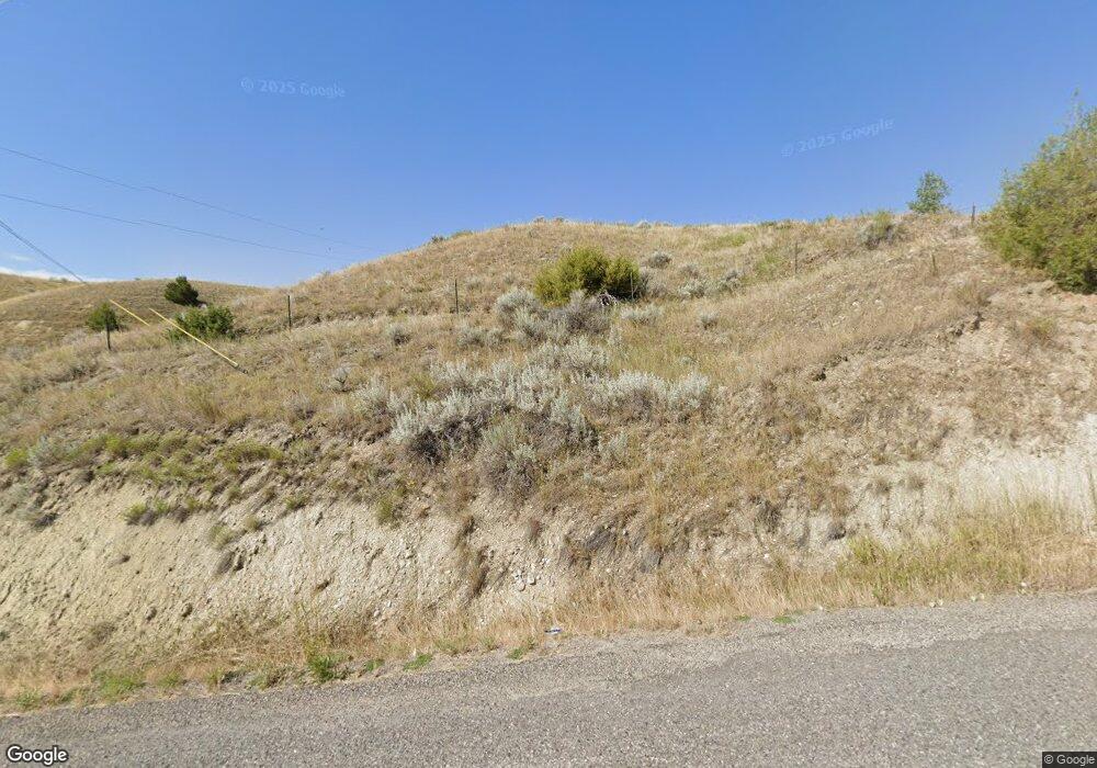
4185 Old Custer Rd Custer, MT 59024
Estimated Value: $468,000 - $987,615
4
Beds
4
Baths
2,587
Sq Ft
$287/Sq Ft
Est. Value
About This Home
This home is located at 4185 Old Custer Rd, Custer, MT 59024 and is currently estimated at $741,205, approximately $286 per square foot. 4185 Old Custer Rd is a home located in Yellowstone County with nearby schools including Custer Elementary School, Custer Junior High School, and Custer High School.
Ownership History
Date
Name
Owned For
Owner Type
Purchase Details
Closed on
Dec 16, 2013
Sold by
Payer Patricia S and Sleaford Michelle R
Bought by
Cantrell Henry D and Cantrell Ila M
Current Estimated Value
Purchase Details
Closed on
Nov 9, 2007
Sold by
Payer Patricia S
Bought by
Payer Patricia S and Sleaford Michelle R
Create a Home Valuation Report for This Property
The Home Valuation Report is an in-depth analysis detailing your home's value as well as a comparison with similar homes in the area
Purchase History
| Date | Buyer | Sale Price | Title Company |
|---|---|---|---|
| Cantrell Henry D | -- | Chicago Title | |
| Payer Patricia S | -- | None Available |
Source: Public Records
Tax History
| Year | Tax Paid | Tax Assessment Tax Assessment Total Assessment is a certain percentage of the fair market value that is determined by local assessors to be the total taxable value of land and additions on the property. | Land | Improvement |
|---|---|---|---|---|
| 2025 | $6,141 | $804,113 | $7,613 | $796,500 |
| 2024 | $6,141 | $658,870 | $7,030 | $651,840 |
| 2023 | $6,138 | $658,870 | $7,030 | $651,840 |
| 2022 | $4,707 | $523,756 | $0 | $0 |
| 2021 | $4,672 | $523,756 | $0 | $0 |
| 2020 | $4,253 | $473,317 | $0 | $0 |
| 2019 | $4,196 | $473,317 | $0 | $0 |
| 2018 | $3,634 | $396,485 | $0 | $0 |
| 2017 | $3,423 | $396,485 | $0 | $0 |
| 2016 | $3,034 | $414,216 | $0 | $0 |
| 2015 | $2,978 | $414,216 | $0 | $0 |
| 2014 | $3,032 | $225,163 | $0 | $0 |
Source: Public Records
Map
Nearby Homes
- 108 3rd Ave
- TBD County Rd 147a
- TBD 147a
- 7801 Custer Frontage Rd
- 0 Tbd County Rd 147a Unit 23713582
- 0 Tbd County Rd 147a Unit 11507932
- TBD Gribben Rd
- 6031 Musselshell Trail Rd
- 10270 Montana 47
- 16 Boehm Ln
- 101 Gta Ln
- 222 E Big Horn River Rd
- 3614 2nd St S
- 2 2nd St S
- 2703 S Pompeys Rd
- Musselshell Trail Rd
- NHN Road
- 1144 Sugar Factory Rd
- 6970 Pineview Rd
Your Personal Tour Guide
Ask me questions while you tour the home.
