4185 Old U S 41 N Valdosta, GA 31602
Estimated Value: $365,000 - $539,000
3
Beds
3
Baths
2,576
Sq Ft
$174/Sq Ft
Est. Value
About This Home
This home is located at 4185 Old U S 41 N, Valdosta, GA 31602 and is currently estimated at $448,775, approximately $174 per square foot. 4185 Old U S 41 N is a home located in Lowndes County with nearby schools including Westside Elementary School, Hahira Middle School, and Lowndes High School.
Ownership History
Date
Name
Owned For
Owner Type
Purchase Details
Closed on
May 19, 2016
Sold by
Stone Arthur C
Bought by
Smith Calvin D
Current Estimated Value
Home Financials for this Owner
Home Financials are based on the most recent Mortgage that was taken out on this home.
Original Mortgage
$252,000
Outstanding Balance
$200,151
Interest Rate
3.59%
Mortgage Type
New Conventional
Estimated Equity
$248,624
Purchase Details
Closed on
Jan 25, 1999
Bought by
Stone Arthur C and Stone Doris
Create a Home Valuation Report for This Property
The Home Valuation Report is an in-depth analysis detailing your home's value as well as a comparison with similar homes in the area
Home Values in the Area
Average Home Value in this Area
Purchase History
| Date | Buyer | Sale Price | Title Company |
|---|---|---|---|
| Smith Calvin D | $280,000 | -- | |
| Stone Arthur C | -- | -- |
Source: Public Records
Mortgage History
| Date | Status | Borrower | Loan Amount |
|---|---|---|---|
| Open | Smith Calvin D | $252,000 |
Source: Public Records
Tax History Compared to Growth
Tax History
| Year | Tax Paid | Tax Assessment Tax Assessment Total Assessment is a certain percentage of the fair market value that is determined by local assessors to be the total taxable value of land and additions on the property. | Land | Improvement |
|---|---|---|---|---|
| 2024 | $2,946 | $123,496 | $11,760 | $111,736 |
| 2023 | $2,946 | $122,727 | $10,991 | $111,736 |
| 2022 | $2,526 | $90,607 | $10,991 | $79,616 |
| 2021 | $2,638 | $90,607 | $10,991 | $79,616 |
| 2020 | $2,448 | $90,526 | $10,910 | $79,616 |
| 2019 | $2,473 | $90,526 | $10,910 | $79,616 |
| 2018 | $2,500 | $90,568 | $10,910 | $79,658 |
| 2017 | $2,543 | $90,611 | $10,910 | $79,701 |
| 2016 | $2,282 | $87,123 | $7,380 | $79,743 |
| 2015 | $2,451 | $96,949 | $7,380 | $89,569 |
| 2014 | $2,629 | $101,569 | $12,000 | $89,569 |
Source: Public Records
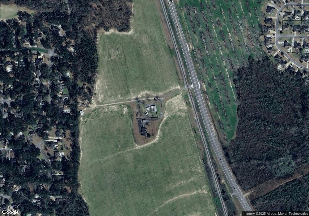
Map
Nearby Homes
- 4577 San Saba Dr
- 4593 San Saba Dr
- 4728 Woodland Point
- 4715 Woodland Point
- 0 Dasher Grove Rd
- 4406 Forest Valley Cir
- 4438 Huntington Pointe
- 4469 Green Island Rd
- 5263 Maycomb Ave
- 4482 Green Island Rd
- 4849 Oak Arbor Dr
- 4268 Deercrest Dr
- 5229 Maycomb Ave
- 4153 Springruff Dr
- 4107 Springruff Dr
- 5379 Maycomb Ave
- 5372 Myrick Cir
- 4616 Rain Wood Cir
- 3813 Winchester Place
- 4227 Tillman Bluff Rd
- 4185 Old Us Highway 41 N
- 4185 Old Us Hwy 41 N
- 4185 Old Us 41 N
- 4197 Old Us 41 N
- 4199 Old Us 41 N
- 4185 N Us Highway 41
- 4481 Tillman Bluff Rd
- 4497 Tillman Bluff Rd
- 4473 Tillman Bluff Rd
- 4465 Tillman Bluff Rd
- 4288 Oak Forest Dr
- 4457 Tillman Bluff Rd
- 4282 Oak Forest Dr
- 4501 Tillman Bluff Rd
- 4278 Oak Forest Dr
- 4449 Tillman Bluff Rd
- 4441 Tillman Bluff Rd
- 4272 Oak Forest Dr
- 4492 Tillman Bluff Rd
- 4484 Tillman Bluff Rd