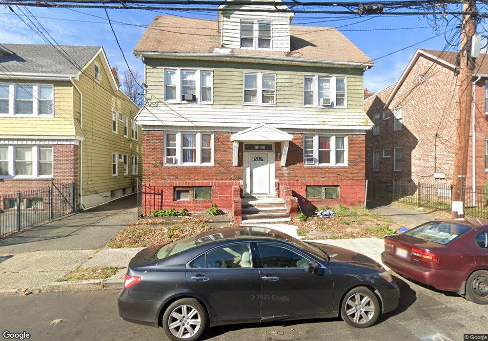
419-421 Kerrigan Blvd Newark, NJ 07106
Ivy Hill NeighborhoodEstimated Value: $729,000 - $861,000
--
Bed
--
Bath
4,456
Sq Ft
$179/Sq Ft
Est. Value
About This Home
This home is located at 419-421 Kerrigan Blvd, Newark, NJ 07106 and is currently estimated at $795,434, approximately $178 per square foot. 419-421 Kerrigan Blvd is a home located in Essex County with nearby schools including Lincoln Elementary School, Mt. Vernon School, and Hawthorne Avenue Elementary School.
Ownership History
Date
Name
Owned For
Owner Type
Purchase Details
Closed on
May 4, 2006
Sold by
Suber Carl
Bought by
Titus Jean and Titus Marie
Current Estimated Value
Home Financials for this Owner
Home Financials are based on the most recent Mortgage that was taken out on this home.
Original Mortgage
$332,000
Outstanding Balance
$193,706
Interest Rate
6.53%
Mortgage Type
New Conventional
Estimated Equity
$601,728
Purchase Details
Closed on
Sep 14, 2004
Sold by
Barron Jesse
Bought by
Suber Carl and Suber Elaine
Home Financials for this Owner
Home Financials are based on the most recent Mortgage that was taken out on this home.
Original Mortgage
$281,500
Interest Rate
6.02%
Purchase Details
Closed on
Mar 31, 1997
Sold by
Pierre Julie
Bought by
Barron Jesse
Home Financials for this Owner
Home Financials are based on the most recent Mortgage that was taken out on this home.
Original Mortgage
$181,000
Interest Rate
7.5%
Create a Home Valuation Report for This Property
The Home Valuation Report is an in-depth analysis detailing your home's value as well as a comparison with similar homes in the area
Home Values in the Area
Average Home Value in this Area
Purchase History
| Date | Buyer | Sale Price | Title Company |
|---|---|---|---|
| Titus Jean | $415,000 | -- | |
| Suber Carl | $351,900 | -- | |
| Barron Jesse | $190,000 | -- |
Source: Public Records
Mortgage History
| Date | Status | Borrower | Loan Amount |
|---|---|---|---|
| Open | Titus Jean | $332,000 | |
| Previous Owner | Suber Carl | $281,500 | |
| Previous Owner | Barron Jesse | $181,000 |
Source: Public Records
Tax History Compared to Growth
Tax History
| Year | Tax Paid | Tax Assessment Tax Assessment Total Assessment is a certain percentage of the fair market value that is determined by local assessors to be the total taxable value of land and additions on the property. | Land | Improvement |
|---|---|---|---|---|
| 2025 | $13,626 | $365,500 | $26,800 | $338,700 |
| 2024 | $13,626 | $365,500 | $26,800 | $338,700 |
| 2022 | $11,122 | $297,700 | $25,200 | $272,500 |
| 2021 | $11,116 | $297,700 | $25,200 | $272,500 |
| 2020 | $11,313 | $297,700 | $25,200 | $272,500 |
| 2019 | $11,197 | $297,700 | $25,200 | $272,500 |
| 2018 | $10,994 | $297,700 | $25,200 | $272,500 |
| 2017 | $10,598 | $297,700 | $25,200 | $272,500 |
| 2016 | $10,241 | $297,700 | $25,200 | $272,500 |
| 2015 | $9,851 | $297,700 | $25,200 | $272,500 |
| 2014 | $9,232 | $297,700 | $25,200 | $272,500 |
Source: Public Records
Map
Nearby Homes
- 307 Ellery Ave
- 170 Oakland Terrace
- 170 Oakland Terrace Unit 2
- 185-187 Ivy St
- 68-70 Richelieu Place
- 68 Richelieu Place Unit 70
- 21-23 Eastern Pkwy
- 101 Mountainview Place
- 27 Cleveland Ave Unit 29
- 27-29 Cleveland Ave
- 15 Richelieu Place
- 10 Lenox St
- 90 Mountain View Place
- 28-30 Reynolds Place
- 109 Richelieu Terrace
- 608-610 Sanford Ave
- 1080-1084 18th Ave
- 1080 18th Ave
- 117 Reynolds Place
- 78 Underwood St Unit 80
- 423 Kerrigan Blvd Unit 425
- 415 Kerrigan Blvd Unit 1L
- 415 Kerrigan Blvd Unit 417
- 411 Kerrigan Blvd Unit 413
- 427-429 Kerrigan Blvd
- 427 Kerrigan Blvd Unit 429
- 431 Kerrigan Blvd Unit 433
- 431 Kerrigan Blvd Unit 2 L
- 431 Kerrigan Blvd
- 116 Eastern Pkwy
- 114 Eastern Pkwy
- 420-422 Kerrigan Blvd Unit 4
- 118 Eastern Pkwy
- 407 Kerrigan Blvd Unit 409
- 407 Kerrigan Blvd Unit 4
- 407 Kerrigan Blvd
- 110 Eastern Pkwy Unit 112
- 120 Eastern Pkwy
- 106 Eastern Pkwy Unit 108
- 420 Kerrigan Blvd Unit 422