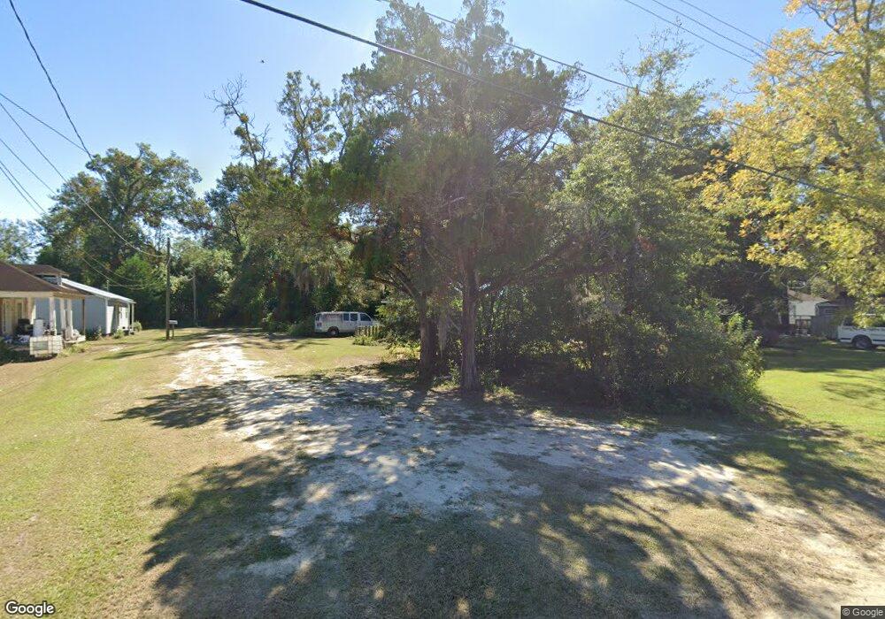
419 Beaton Ln Waycross, GA 31501
Estimated Value: $57,758 - $106,000
2
Beds
1
Bath
720
Sq Ft
$107/Sq Ft
Est. Value
About This Home
This home is located at 419 Beaton Ln, Waycross, GA 31501 and is currently estimated at $76,690, approximately $106 per square foot. 419 Beaton Ln is a home located in Ware County with nearby schools including Williams Heights Elementary School, Waycross Middle School, and Ware County High School.
Ownership History
Date
Name
Owned For
Owner Type
Purchase Details
Closed on
Oct 29, 2020
Sold by
Coleman Wayne Allen
Bought by
Coleman Wayne Allen
Current Estimated Value
Purchase Details
Closed on
Aug 15, 2011
Sold by
L J Home Repair Llc
Bought by
Coleman Wayne and Coleman Shenna
Purchase Details
Closed on
Jan 27, 2009
Sold by
Brumbeloe Ken P
Bought by
L J Home Repair Llc
Purchase Details
Closed on
Jan 3, 2003
Sold by
Mack Robert L and Mack Katie
Bought by
Brumbeloe Ken
Purchase Details
Closed on
Dec 10, 1992
Bought by
Mack Eugene and Mack Janice
Purchase Details
Closed on
Feb 7, 1986
Create a Home Valuation Report for This Property
The Home Valuation Report is an in-depth analysis detailing your home's value as well as a comparison with similar homes in the area
Home Values in the Area
Average Home Value in this Area
Purchase History
| Date | Buyer | Sale Price | Title Company |
|---|---|---|---|
| Coleman Wayne Allen | -- | -- | |
| Coleman Wayne | $4,500 | -- | |
| L J Home Repair Llc | $98,500 | -- | |
| Brumbeloe Ken | $5,000 | -- | |
| Mack Eugene | -- | -- | |
| -- | $7,000 | -- |
Source: Public Records
Tax History Compared to Growth
Tax History
| Year | Tax Paid | Tax Assessment Tax Assessment Total Assessment is a certain percentage of the fair market value that is determined by local assessors to be the total taxable value of land and additions on the property. | Land | Improvement |
|---|---|---|---|---|
| 2024 | $214 | $5,792 | $780 | $5,012 |
| 2023 | $170 | $7,061 | $900 | $6,161 |
| 2022 | $281 | $7,061 | $900 | $6,161 |
| 2021 | $190 | $4,386 | $900 | $3,486 |
| 2020 | $159 | $3,646 | $225 | $3,421 |
| 2019 | $161 | $3,646 | $225 | $3,421 |
| 2018 | $155 | $3,483 | $225 | $3,258 |
| 2017 | $152 | $3,483 | $225 | $3,258 |
| 2016 | $152 | $3,483 | $225 | $3,258 |
| 2015 | $153 | $3,482 | $225 | $3,258 |
| 2014 | $153 | $3,483 | $225 | $3,258 |
| 2013 | -- | $3,482 | $224 | $3,258 |
Source: Public Records
Map
Nearby Homes