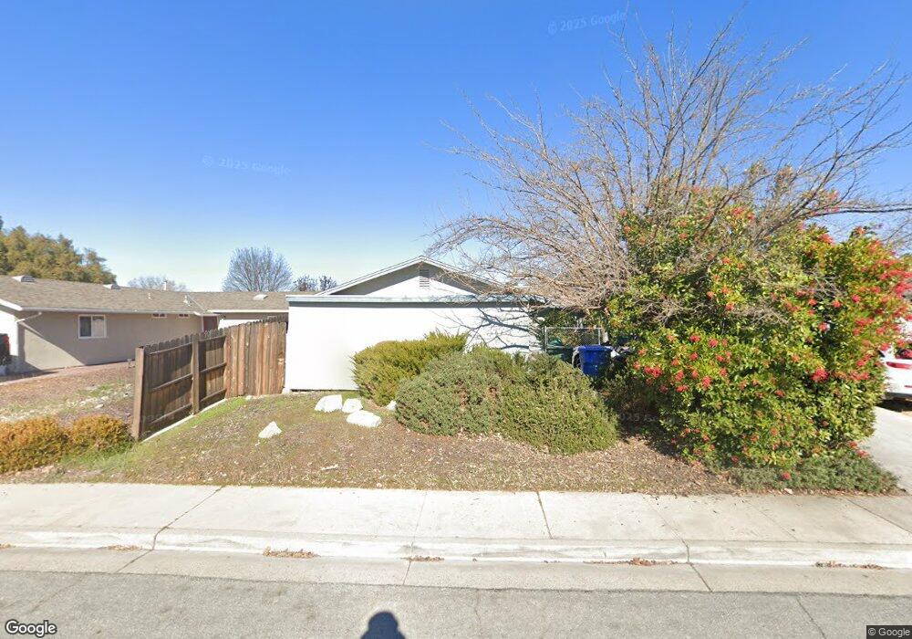
419 Cedarwood Dr Paso Robles, CA 93446
Estimated Value: $475,962 - $540,000
3
Beds
2
Baths
1,200
Sq Ft
$430/Sq Ft
Est. Value
About This Home
This home is located at 419 Cedarwood Dr, Paso Robles, CA 93446 and is currently estimated at $516,491, approximately $430 per square foot. 419 Cedarwood Dr is a home located in San Luis Obispo County with nearby schools including Virginia Peterson Elementary School, Daniel Lewis Middle School, and Paso Robles High School.
Ownership History
Date
Name
Owned For
Owner Type
Purchase Details
Closed on
Mar 15, 1996
Sold by
Charnley Anthony and Charnley Linda
Bought by
Hadley Harold C and Rose Tamara D
Current Estimated Value
Home Financials for this Owner
Home Financials are based on the most recent Mortgage that was taken out on this home.
Original Mortgage
$102,659
Outstanding Balance
$4,008
Interest Rate
6.98%
Mortgage Type
FHA
Estimated Equity
$512,483
Create a Home Valuation Report for This Property
The Home Valuation Report is an in-depth analysis detailing your home's value as well as a comparison with similar homes in the area
Purchase History
| Date | Buyer | Sale Price | Title Company |
|---|---|---|---|
| Hadley Harold C | $105,000 | Cuesta Title Company |
Source: Public Records
Mortgage History
| Date | Status | Borrower | Loan Amount |
|---|---|---|---|
| Open | Hadley Harold C | $102,659 |
Source: Public Records
Tax History
| Year | Tax Paid | Tax Assessment Tax Assessment Total Assessment is a certain percentage of the fair market value that is determined by local assessors to be the total taxable value of land and additions on the property. | Land | Improvement |
|---|---|---|---|---|
| 2025 | $1,899 | $174,223 | $66,429 | $107,794 |
| 2024 | $1,868 | $170,808 | $65,127 | $105,681 |
| 2023 | $1,868 | $167,459 | $63,850 | $103,609 |
| 2022 | $1,840 | $164,177 | $62,599 | $101,578 |
| 2021 | $1,809 | $160,959 | $61,372 | $99,587 |
| 2020 | $1,706 | $159,309 | $60,743 | $98,566 |
| 2019 | $1,680 | $156,186 | $59,552 | $96,634 |
| 2018 | $1,656 | $153,125 | $58,385 | $94,740 |
| 2017 | $1,555 | $150,124 | $57,241 | $92,883 |
| 2016 | $1,523 | $147,181 | $56,119 | $91,062 |
| 2015 | $1,517 | $144,972 | $55,277 | $89,695 |
| 2014 | $1,462 | $142,133 | $54,195 | $87,938 |
Source: Public Records
Map
Nearby Homes
- 2314 Ashwood Place
- 618 Queenanne Rd
- 358 Via Ramona
- 902 Sycamore Canyon Rd
- 1607 Westfield Rd
- 1834 Lark Ellen Dr
- 268 Camino Lobo
- 1309 Stoney Creek Rd
- 609 Larkfield Place
- 320 Cool Valley Dr
- 250 Santa Bella
- 17 Green Ct
- 1744 Ponderosa Ln
- 1824 Marigold Ln
- 5185 Airport Rd
- 253 Silver Oak Dr
- 830 Sycamore Canyon Rd
- 2316 Amber Grain Place
- 3731 Rosado Rd
- 3725 Rosado Rd
- 421 Cedarwood Dr
- 417 Cedarwood Dr
- 1826 Driftwood Dr
- 1822 Driftwood Ct
- 423 Cedarwood Dr
- 418 Cedarwood Dr
- 1824 Driftwood Dr
- 420 Cedarwood Dr
- 416 Cedarwood Dr
- 1820 Driftwood Dr
- 422 Cedarwood Dr
- 1820 Driftwood Ct
- 425 Cedarwood Dr
- 395 Cedarwood Dr
- 424 Cedarwood Dr
- 1827 Driftwood Dr
- 419 Tanglewood Ct
- 421 Tanglewood Ct
- 1825 Driftwood Dr
- 1817 Driftwood Dr
Your Personal Tour Guide
Ask me questions while you tour the home.