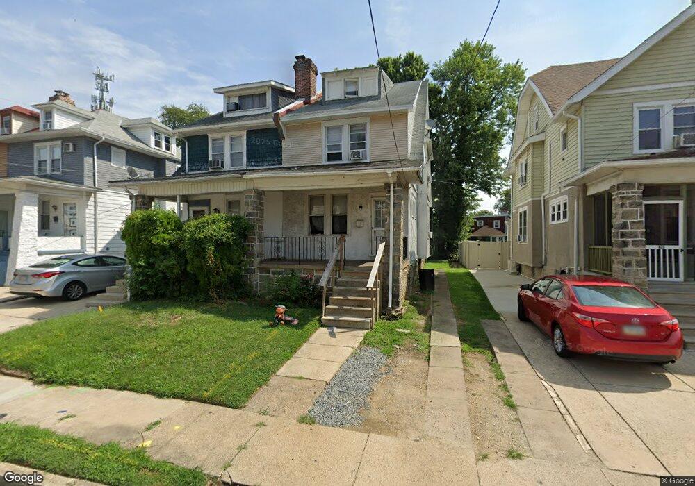
419 Laurel Rd Lansdowne, PA 19050
Estimated Value: $197,000 - $260,723
4
Beds
1
Bath
1,536
Sq Ft
$153/Sq Ft
Est. Value
About This Home
This home is located at 419 Laurel Rd, Lansdowne, PA 19050 and is currently estimated at $234,681, approximately $152 per square foot. 419 Laurel Rd is a home located in Delaware County with nearby schools including Evans Elementary School, Penn Wood Middle School, and Penn Wood High School - Cypress Street Campus.
Ownership History
Date
Name
Owned For
Owner Type
Purchase Details
Closed on
Jul 16, 2011
Sold by
Malone Twana C
Bought by
Lewis Tamika S
Current Estimated Value
Home Financials for this Owner
Home Financials are based on the most recent Mortgage that was taken out on this home.
Original Mortgage
$79,921
Interest Rate
4.75%
Mortgage Type
FHA
Purchase Details
Closed on
Oct 20, 2006
Sold by
Solomon Gary and Solomon Merle D
Bought by
Malone Twana C
Home Financials for this Owner
Home Financials are based on the most recent Mortgage that was taken out on this home.
Original Mortgage
$68,000
Interest Rate
6.48%
Mortgage Type
Purchase Money Mortgage
Create a Home Valuation Report for This Property
The Home Valuation Report is an in-depth analysis detailing your home's value as well as a comparison with similar homes in the area
Home Values in the Area
Average Home Value in this Area
Purchase History
| Date | Buyer | Sale Price | Title Company |
|---|---|---|---|
| Lewis Tamika S | $82,000 | None Available | |
| Malone Twana C | $85,000 | None Available |
Source: Public Records
Mortgage History
| Date | Status | Borrower | Loan Amount |
|---|---|---|---|
| Previous Owner | Lewis Tamika S | $79,921 | |
| Previous Owner | Malone Twana C | $68,000 |
Source: Public Records
Tax History Compared to Growth
Tax History
| Year | Tax Paid | Tax Assessment Tax Assessment Total Assessment is a certain percentage of the fair market value that is determined by local assessors to be the total taxable value of land and additions on the property. | Land | Improvement |
|---|---|---|---|---|
| 2025 | $4,968 | $116,340 | $33,250 | $83,090 |
| 2024 | $4,968 | $116,340 | $33,250 | $83,090 |
| 2023 | $4,512 | $116,340 | $33,250 | $83,090 |
| 2022 | $4,302 | $116,340 | $33,250 | $83,090 |
| 2021 | $6,506 | $116,340 | $33,250 | $83,090 |
| 2020 | $4,378 | $70,100 | $19,180 | $50,920 |
| 2019 | $4,301 | $70,100 | $19,180 | $50,920 |
| 2018 | $4,241 | $70,100 | $0 | $0 |
| 2017 | $4,152 | $70,100 | $0 | $0 |
| 2016 | $385 | $70,100 | $0 | $0 |
| 2015 | $385 | $70,100 | $0 | $0 |
| 2014 | $385 | $70,100 | $0 | $0 |
Source: Public Records
Map
Nearby Homes
- 407 Church Ln
- 435 Bonsall Ave
- 536 Cypress St
- 503 Bonsall Ave
- 603 Penn St
- 530 Orchard Ave
- 702 Cedar Ave
- 7026 Atlantic Ave
- 608 Pembroke Ave
- 1016 Whitby Ave
- 711 Yeadon Ave Unit 1
- 722 Yeadon Ave
- 740 Church Ln
- 7123 Seaford Rd
- 7129 Seaford Rd
- 1212 S Millick St
- 7000 Greenwood Ave
- 1201 S Millick St
- 6013 Baltimore Ave
- 1214 S 60th St