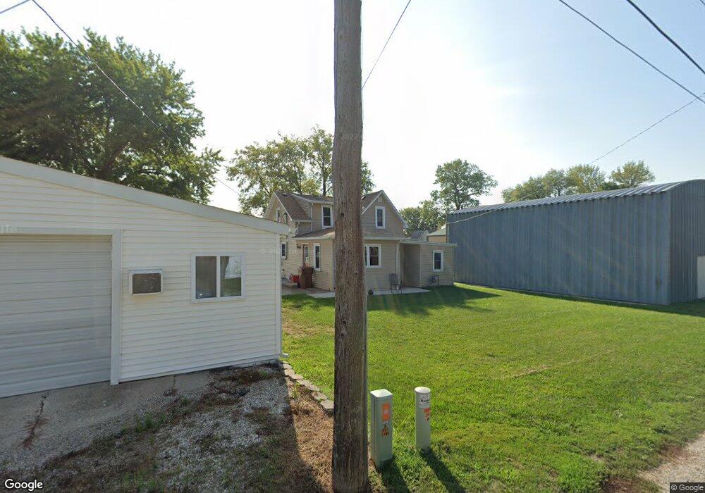
419 N Us Highway 71 Carroll, IA 51401
Estimated Value: $109,000 - $132,000
3
Beds
2
Baths
1,375
Sq Ft
$86/Sq Ft
Est. Value
About This Home
This home is located at 419 N Us Highway 71, Carroll, IA 51401 and is currently estimated at $118,333, approximately $86 per square foot. 419 N Us Highway 71 is a home with nearby schools including Fairview Elementary School, Adams Elementary School, and Carroll Middle School.
Ownership History
Date
Name
Owned For
Owner Type
Purchase Details
Closed on
Jun 29, 2017
Sold by
The Estate Of Clara L Fiebelkorn
Bought by
K And P Properties Llc
Current Estimated Value
Create a Home Valuation Report for This Property
The Home Valuation Report is an in-depth analysis detailing your home's value as well as a comparison with similar homes in the area
Home Values in the Area
Average Home Value in this Area
Purchase History
| Date | Buyer | Sale Price | Title Company |
|---|---|---|---|
| K And P Properties Llc | $41,000 | None Available |
Source: Public Records
Tax History
| Year | Tax Paid | Tax Assessment Tax Assessment Total Assessment is a certain percentage of the fair market value that is determined by local assessors to be the total taxable value of land and additions on the property. | Land | Improvement |
|---|---|---|---|---|
| 2025 | $1,134 | $99,590 | $6,750 | $92,840 |
| 2024 | $11 | $86,440 | $6,750 | $79,690 |
| 2023 | $859 | $86,440 | $6,750 | $79,690 |
| 2022 | $812 | $56,040 | $6,750 | $49,290 |
| 2021 | $812 | $56,040 | $6,750 | $49,290 |
| 2020 | $833 | $56,040 | $6,750 | $49,290 |
| 2019 | $674 | $56,040 | $6,750 | $49,290 |
| 2018 | $514 | $56,040 | $6,750 | $49,290 |
| 2017 | $384 | $33,530 | $0 | $0 |
| 2016 | $72 | $33,530 | $0 | $0 |
| 2015 | $72 | $31,240 | $0 | $0 |
| 2014 | $318 | $31,240 | $0 | $0 |
Source: Public Records
Map
Nearby Homes
- 619 W 2nd St
- 0 Deer Creek Ln Unit 6302348
- 332 N Crawford St
- 326 N West St
- 0 E 10th St Unit 5423085
- 0 E 10th St Unit 6324630
- 19383 U S 30
- 222 W 2nd St
- 641 W 14th St
- 827 N Main St
- 1015 N Adams St
- 1608 Salinger Ave
- 625 W 16th St
- 317 Arthur Neu Dr
- 1124 N Carroll St Unit 11
- 110 E 10th St
- 527 W 17th St
- 827 N Clark St
- 1102 N Main St
- 804 N Clark St
- 425 N Us Highway 71
- 413 U S 71
- 406 U S 71
- 405 N Us Highway 71
- 424 Washington St
- 428 Washington St
- 420 Washington St
- 406 N Us Highway 71
- 724 W 4th St
- 404 N Us Highway 71
- 718 W 4th St
- 408 U S 71
- 402 N Us Highway 71
- 412 Washington St
- 339 N Us Highway 71
- 446 Washington St
- 413 Washington St
- 439 Washington St
- 451 Washington St
- 501 W 5th St
Your Personal Tour Guide
Ask me questions while you tour the home.