4190 Ruth Dr Rootstown, OH 44272
Estimated Value: $175,000 - $217,000
3
Beds
1
Bath
1,196
Sq Ft
$163/Sq Ft
Est. Value
About This Home
This home is located at 4190 Ruth Dr, Rootstown, OH 44272 and is currently estimated at $195,134, approximately $163 per square foot. 4190 Ruth Dr is a home located in Portage County with nearby schools including Rootstown Middle School - Schnee Building and Rootstown High School.
Ownership History
Date
Name
Owned For
Owner Type
Purchase Details
Closed on
Sep 25, 2001
Sold by
Bennett Helen I
Bought by
Mccracken Mary M
Current Estimated Value
Home Financials for this Owner
Home Financials are based on the most recent Mortgage that was taken out on this home.
Original Mortgage
$97,400
Outstanding Balance
$35,772
Interest Rate
6.97%
Mortgage Type
VA
Estimated Equity
$159,362
Create a Home Valuation Report for This Property
The Home Valuation Report is an in-depth analysis detailing your home's value as well as a comparison with similar homes in the area
Purchase History
| Date | Buyer | Sale Price | Title Company |
|---|---|---|---|
| Mccracken Mary M | $95,500 | Approved Statewide Title Age |
Source: Public Records
Mortgage History
| Date | Status | Borrower | Loan Amount |
|---|---|---|---|
| Open | Mccracken Mary M | $97,400 |
Source: Public Records
Tax History
| Year | Tax Paid | Tax Assessment Tax Assessment Total Assessment is a certain percentage of the fair market value that is determined by local assessors to be the total taxable value of land and additions on the property. | Land | Improvement |
|---|---|---|---|---|
| 2025 | $1,621 | $48,090 | $7,910 | $40,180 |
| 2024 | $1,573 | $48,090 | $7,910 | $40,180 |
| 2023 | $1,790 | $39,310 | $7,910 | $31,400 |
| 2022 | $1,764 | $39,310 | $7,910 | $31,400 |
| 2021 | $1,758 | $39,310 | $7,910 | $31,400 |
| 2020 | $1,624 | $34,970 | $7,910 | $27,060 |
| 2019 | $1,630 | $34,970 | $7,910 | $27,060 |
| 2018 | $1,374 | $27,860 | $7,910 | $19,950 |
| 2017 | $1,374 | $27,860 | $7,910 | $19,950 |
| 2016 | $1,340 | $27,860 | $7,910 | $19,950 |
| 2015 | $1,356 | $27,860 | $7,910 | $19,950 |
| 2014 | $1,381 | $27,860 | $7,910 | $19,950 |
| 2013 | $1,371 | $27,860 | $7,910 | $19,950 |
Source: Public Records
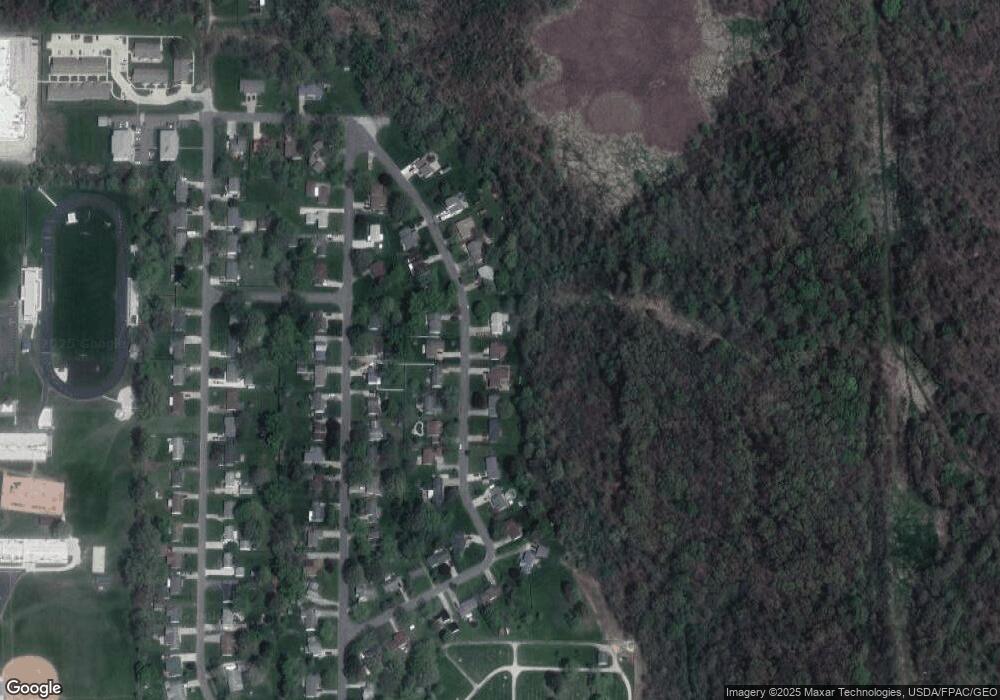
Map
Nearby Homes
- 4079 Siefer Dr
- 0 Lynn Rd Unit 5110102
- 4415 Farmette Dr
- V/L 2 Lynn Rd
- V/L Lynn Rd
- 3689 Cherry Hill
- 3701 State Route 44
- 4200 Hattrick Rd
- sub lot Lane Ave
- 0 Tallmadge Rd Unit 5189301
- 0 Tallmadge Rd Unit 5189314
- 4556 Rootstown Rd
- 4058 Bayberry Knoll Ln
- 4140 Sandy Lake Rd
- 3925 Summit Rd
- 3637 Old Forge Rd
- 1065 Shadowlawn Dr
- 3021 Hartville Rd
- 524 Ohio Ave
- 2978 Sandy Lake Rd
Your Personal Tour Guide
Ask me questions while you tour the home.