4191 Carole Ct Center Point, IA 52213
Estimated Value: $201,000 - $624,000
3
Beds
2
Baths
1,039
Sq Ft
$320/Sq Ft
Est. Value
About This Home
This home is located at 4191 Carole Ct, Center Point, IA 52213 and is currently estimated at $332,418, approximately $319 per square foot. 4191 Carole Ct is a home located in Linn County with nearby schools including Center Point-Urbana Primary School, Center Point-Urbana Intermediate School, and Center Point-Urbana Middle School.
Ownership History
Date
Name
Owned For
Owner Type
Purchase Details
Closed on
May 9, 2000
Sold by
Zittergruen Matthew J and Zittergruen Victoria L
Bought by
Ferguson Scott A and Ferguson Dawn L
Current Estimated Value
Home Financials for this Owner
Home Financials are based on the most recent Mortgage that was taken out on this home.
Original Mortgage
$87,500
Outstanding Balance
$30,381
Interest Rate
8.21%
Mortgage Type
Purchase Money Mortgage
Estimated Equity
$302,037
Create a Home Valuation Report for This Property
The Home Valuation Report is an in-depth analysis detailing your home's value as well as a comparison with similar homes in the area
Home Values in the Area
Average Home Value in this Area
Purchase History
| Date | Buyer | Sale Price | Title Company |
|---|---|---|---|
| Ferguson Scott A | $119,000 | -- |
Source: Public Records
Mortgage History
| Date | Status | Borrower | Loan Amount |
|---|---|---|---|
| Open | Ferguson Scott A | $87,500 |
Source: Public Records
Tax History Compared to Growth
Tax History
| Year | Tax Paid | Tax Assessment Tax Assessment Total Assessment is a certain percentage of the fair market value that is determined by local assessors to be the total taxable value of land and additions on the property. | Land | Improvement |
|---|---|---|---|---|
| 2025 | $2,870 | $233,700 | $50,000 | $183,700 |
| 2024 | $2,834 | $223,200 | $50,000 | $173,200 |
| 2023 | $2,834 | $223,200 | $50,000 | $173,200 |
| 2022 | $2,796 | $186,300 | $50,000 | $136,300 |
| 2021 | $2,616 | $186,300 | $50,000 | $136,300 |
| 2020 | $2,616 | $165,800 | $35,200 | $130,600 |
| 2019 | $2,464 | $156,100 | $35,200 | $120,900 |
| 2018 | $2,406 | $156,100 | $35,200 | $120,900 |
| 2017 | $2,310 | $142,000 | $35,200 | $106,800 |
| 2016 | $2,310 | $142,000 | $35,200 | $106,800 |
| 2015 | $2,295 | $142,000 | $35,200 | $106,800 |
| 2014 | $2,154 | $142,000 | $35,200 | $106,800 |
| 2013 | $2,098 | $142,000 | $35,200 | $106,800 |
Source: Public Records
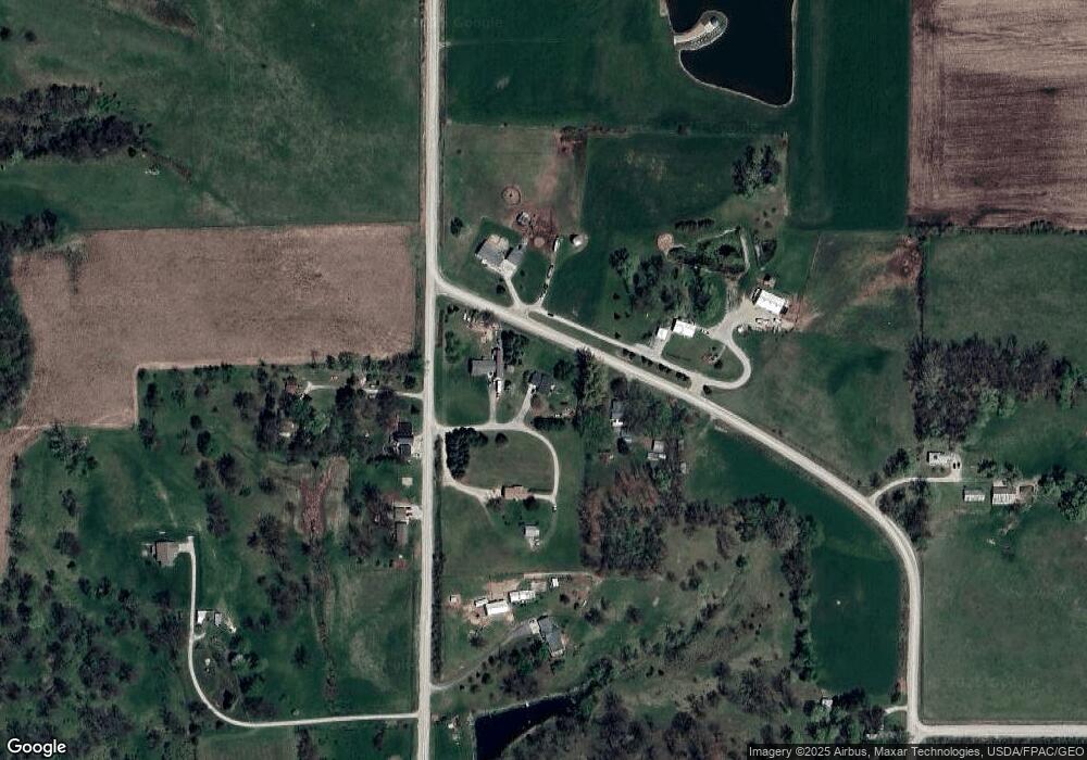
Map
Nearby Homes
- 0 Grain Ln
- 4299 Lewis Access Rd
- 829 Main St S
- 0 Palo Rd
- 523 E Terrace Dr
- 529 Jefferson Ct
- 31 Acres N Center Point Rd
- 318 Crestview Dr
- 115 Main St
- 0 Indian Boundary Rd
- 3873 Greens Grove Rd
- 0 Iowa St
- 809 Iowa St
- 507 Maplewood Dr
- 717 Pointer Cir
- 718 Pointer Cir
- 316 E Washington St
- 702 Central Ave
- 120 Green St
- 132 Green St
- 4197 Carole Ct
- 4034 Williams Lake Rd
- 4195 Carole Ct
- 4045 Williams Lake Rd
- 4030 High Woods Rd
- 4031 Williams Lake Rd
- 4022 High Woods Rd
- 4007 High Woods Rd
- 4034 High Woods Rd
- 4025 Williams Lake Rd
- 4004 High Woods Rd
- 3981 High Woods Rd
- 3998 Williams Lake Rd
- 4221 Cedar Heights Rd
- 4113 High Woods Rd
- 3962 Williams Lake Rd
- 4120 High Woods Rd
- 4246 Cedar Heights Rd
- 4100 Nelson Creek Rd
- 4151 Quail Ridge Rd