4195 Carole Ct Center Point, IA 52213
Estimated Value: $249,000 - $356,665
3
Beds
2
Baths
1,404
Sq Ft
$223/Sq Ft
Est. Value
About This Home
This home is located at 4195 Carole Ct, Center Point, IA 52213 and is currently estimated at $313,555, approximately $223 per square foot. 4195 Carole Ct is a home located in Linn County with nearby schools including Center Point-Urbana Primary School, Center Point-Urbana Intermediate School, and Center Point-Urbana Middle School.
Create a Home Valuation Report for This Property
The Home Valuation Report is an in-depth analysis detailing your home's value as well as a comparison with similar homes in the area
Home Values in the Area
Average Home Value in this Area
Tax History Compared to Growth
Tax History
| Year | Tax Paid | Tax Assessment Tax Assessment Total Assessment is a certain percentage of the fair market value that is determined by local assessors to be the total taxable value of land and additions on the property. | Land | Improvement |
|---|---|---|---|---|
| 2025 | $3,296 | $270,700 | $70,000 | $200,700 |
| 2024 | $3,666 | $261,800 | $70,000 | $191,800 |
| 2023 | $3,666 | $261,800 | $70,000 | $191,800 |
| 2022 | $3,618 | $238,400 | $70,000 | $168,400 |
| 2021 | $3,346 | $238,400 | $70,000 | $168,400 |
| 2020 | $3,346 | $209,700 | $45,100 | $164,600 |
| 2019 | $3,152 | $197,400 | $45,100 | $152,300 |
| 2018 | $3,080 | $197,400 | $45,100 | $152,300 |
| 2017 | $2,850 | $177,700 | $45,100 | $132,600 |
| 2016 | $2,892 | $177,700 | $45,100 | $132,600 |
| 2015 | $2,873 | $177,700 | $45,100 | $132,600 |
| 2014 | $2,732 | $177,700 | $45,100 | $132,600 |
| 2013 | $2,660 | $177,700 | $45,100 | $132,600 |
Source: Public Records
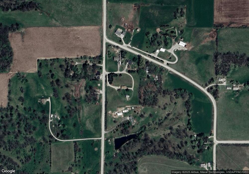
Map
Nearby Homes
- 0 Grain Ln
- 4299 Lewis Access Rd
- 829 Main St S
- 0 Palo Rd
- 523 E Terrace Dr
- 529 Jefferson Ct
- 31 Acres N Center Point Rd
- 318 Crestview Dr
- 0 Indian Boundary Rd
- 115 Main St
- 3873 Greens Grove Rd
- 0 Iowa St
- 809 Iowa St
- 507 Maplewood Dr
- 717 Pointer Cir
- 718 Pointer Cir
- 316 E Washington St
- 702 Central Ave
- 120 Green St
- 132 Green St
- 4022 High Woods Rd
- 4007 High Woods Rd
- 4191 Carole Ct
- 4030 High Woods Rd
- 4034 Williams Lake Rd
- 4197 Carole Ct
- 4034 High Woods Rd
- 4031 Williams Lake Rd
- 4045 Williams Lake Rd
- 4004 High Woods Rd
- 4025 Williams Lake Rd
- 3981 High Woods Rd
- 3998 Williams Lake Rd
- 3962 Williams Lake Rd
- 4221 Cedar Heights Rd
- 4113 High Woods Rd
- 4246 Cedar Heights Rd
- 4120 High Woods Rd
- 4151 Quail Ridge Rd
- 4178 Quail Ridge Rd