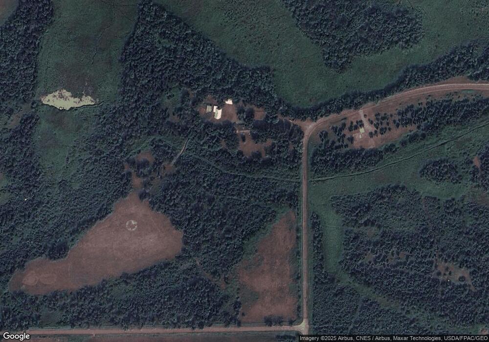
41989 Morrison Line Rd Cushing, MN 56443
Estimated Value: $507,490 - $523,000
4
Beds
3
Baths
1,830
Sq Ft
$282/Sq Ft
Est. Value
About This Home
This home is located at 41989 Morrison Line Rd, Cushing, MN 56443 and is currently estimated at $515,245, approximately $281 per square foot. 41989 Morrison Line Rd is a home located in Todd County with nearby schools including Staples Motley Senior High School.
Ownership History
Date
Name
Owned For
Owner Type
Purchase Details
Closed on
Apr 30, 2018
Sold by
Erickson Reta J
Bought by
Raugutt Sharon and Raugutt Kevin
Current Estimated Value
Home Financials for this Owner
Home Financials are based on the most recent Mortgage that was taken out on this home.
Original Mortgage
$145,000
Outstanding Balance
$124,993
Interest Rate
4.45%
Mortgage Type
New Conventional
Estimated Equity
$390,252
Create a Home Valuation Report for This Property
The Home Valuation Report is an in-depth analysis detailing your home's value as well as a comparison with similar homes in the area
Purchase History
| Date | Buyer | Sale Price | Title Company |
|---|---|---|---|
| Raugutt Sharon | $335,000 | Cygneture Title |
Source: Public Records
Mortgage History
| Date | Status | Borrower | Loan Amount |
|---|---|---|---|
| Open | Raugutt Sharon | $145,000 |
Source: Public Records
Tax History Compared to Growth
Tax History
| Year | Tax Paid | Tax Assessment Tax Assessment Total Assessment is a certain percentage of the fair market value that is determined by local assessors to be the total taxable value of land and additions on the property. | Land | Improvement |
|---|---|---|---|---|
| 2025 | $3,832 | $483,900 | $138,400 | $345,500 |
| 2024 | $3,802 | $442,100 | $107,400 | $334,700 |
| 2023 | $4,070 | $403,300 | $78,800 | $324,500 |
| 2022 | $4,354 | $393,400 | $86,800 | $306,600 |
| 2021 | $3,136 | $353,500 | $78,200 | $275,300 |
| 2020 | $2,680 | $305,500 | $68,300 | $237,200 |
| 2019 | $2,318 | $260,600 | $70,300 | $190,300 |
| 2018 | $2,432 | $264,300 | $63,300 | $201,000 |
| 2017 | $2,358 | $294,600 | $105,700 | $188,900 |
| 2016 | $2,046 | $292,700 | $108,500 | $184,200 |
| 2015 | $1,674 | $0 | $0 | $0 |
| 2014 | -- | $0 | $0 | $0 |
Source: Public Records
Map
Nearby Homes
- 34497 Quiken Rd
- 3302 Telemark Trail
- L5 B1 Ridge Rd
- L3 B2 Ridge Rd
- 3287 Bluebird Rd
- 30883 Fish Trap Lake Dr
- TBD Ridge Rd
- XXX Aztec Rd
- 32619 40th Ave
- 31604 Lowry Cir
- TBD Lakeview Dr
- 45025 Na Dr
- 33395 464th St
- 40161 Paradise Dr
- 40039 County Road 17
- TBD Overland Dr
- TBD Penelope Loop
- TBD Partridge Ct
- lot 54 & 55 Pacer Loop
- lot 56 & 57 Pacer Loop
- 32984 Atlantic Rd
- XXX Us Hwy 10
- TBD Us Hwy 10
- TBD Pulaski Rd
- 33521 Highway 10
- 32746 Highway 10
- 32746 Hwy 10
- 34135 Pulaski Rd
- 33983 Pulaski Rd
- XXX 330th St
- 1290 330th St
- 1338 330th St
- 33529 Highway 10
- Lot 5 Highway 10
- 1529 330th St
- 41279 Morrison Line Rd
- 41279 Morrison Line Rd
- 1434 330th St
- 33488 Highway 10
- Lot 4 Highway 10
