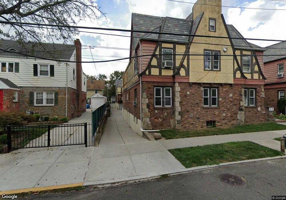
42-06 205th St Flushing, NY 11361
Auburndale NeighborhoodEstimated Value: $738,856 - $996,000
1
Bed
1
Bath
850
Sq Ft
$1,051/Sq Ft
Est. Value
About This Home
This home is located at 42-06 205th St, Flushing, NY 11361 and is currently estimated at $893,214, approximately $1,050 per square foot. 42-06 205th St is a home located in Queens County with nearby schools including P.S. 31 - Bayside, I.S. 25 Adrien Block, and Francis Lewis High School.
Ownership History
Date
Name
Owned For
Owner Type
Purchase Details
Closed on
Feb 28, 2005
Sold by
Estate Of Frieda M Szepinski
Bought by
Meimaroglou Cleanthis and Vekiarellis Peter
Current Estimated Value
Create a Home Valuation Report for This Property
The Home Valuation Report is an in-depth analysis detailing your home's value as well as a comparison with similar homes in the area
Home Values in the Area
Average Home Value in this Area
Purchase History
| Date | Buyer | Sale Price | Title Company |
|---|---|---|---|
| Meimaroglou Cleanthis | $338,000 | -- |
Source: Public Records
Tax History Compared to Growth
Tax History
| Year | Tax Paid | Tax Assessment Tax Assessment Total Assessment is a certain percentage of the fair market value that is determined by local assessors to be the total taxable value of land and additions on the property. | Land | Improvement |
|---|---|---|---|---|
| 2025 | $5,441 | $28,714 | $5,313 | $23,401 |
| 2024 | $5,441 | $27,090 | $4,707 | $22,383 |
| 2023 | $5,205 | $25,915 | $4,526 | $21,389 |
| 2022 | $4,900 | $41,700 | $7,860 | $33,840 |
| 2021 | $5,337 | $39,900 | $7,860 | $32,040 |
| 2020 | $5,065 | $40,800 | $7,860 | $32,940 |
| 2019 | $4,723 | $42,120 | $7,860 | $34,260 |
| 2018 | $4,402 | $21,596 | $4,570 | $17,026 |
| 2017 | $4,402 | $21,596 | $5,420 | $16,176 |
| 2016 | $4,225 | $21,596 | $5,420 | $16,176 |
| 2015 | $2,457 | $19,940 | $5,603 | $14,337 |
| 2014 | $2,457 | $18,813 | $5,969 | $12,844 |
Source: Public Records
Map
Nearby Homes
- 4215 204th St
- 42-32 204th St
- 204-06 42nd Ave
- 40-40 203rd St Unit 12B
- 43-19 205th St
- 40- 41 202nd St
- 4005 203rd St
- 42-36 201st St
- 43-24 208th St
- 202-30 45th Rd
- 4304 209th St
- 200-29 45th Rd
- 209-10 41st Ave Unit 2J
- 206-16 45th Rd
- 206-18 45th Rd
- 207-15 39th Ave
- 196-19 42nd Rd
- 20222 45th Dr
- 202-04 45th Dr
- 206-38 45th Rd
- 20414 42nd Ave
- 20414 42nd Ave Unit 1
- 204-14 204 St
- 4208 205th St
- 204-14 42nd Ave Unit 1st Fl
- 204-14 42nd Ave
- 204-14 42nd Ave Unit 1
- 4206 205th St
- 4204 204th St
- 4204 205th St
- 4204 205th St Unit 1
- 20408 42nd Ave
- 42-20 205th St
- 4210 205th St
- 204-10 42nd Ave Unit 2
- 204-10 42nd Ave Unit 1
- 4214 205th St
- 42-14 205th St
- 42-14 205th St Unit 1
- 20410 42nd Ave