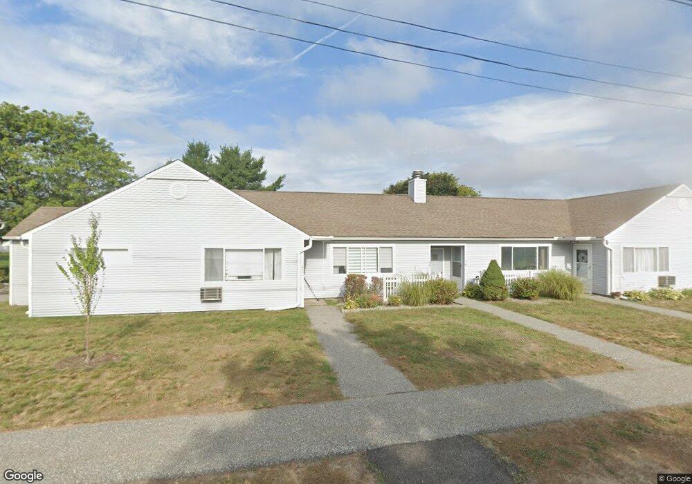
42 Andersen Rd Chicopee, MA 01022
Fairview NeighborhoodEstimated Value: $237,000 - $268,000
2
Beds
2
Baths
1,002
Sq Ft
$248/Sq Ft
Est. Value
About This Home
This home is located at 42 Andersen Rd, Chicopee, MA 01022 and is currently estimated at $248,607, approximately $248 per square foot. 42 Andersen Rd is a home located in Hampden County with nearby schools including Bowie Elementary School, Fairview Middle School, and Chicopee Comprehensive High School.
Ownership History
Date
Name
Owned For
Owner Type
Purchase Details
Closed on
Sep 1, 2011
Sold by
Nasjleti David and Nasjleti Anne M
Bought by
Allaire Kimberly A
Current Estimated Value
Home Financials for this Owner
Home Financials are based on the most recent Mortgage that was taken out on this home.
Original Mortgage
$115,544
Outstanding Balance
$79,086
Interest Rate
4.25%
Mortgage Type
FHA
Estimated Equity
$169,521
Purchase Details
Closed on
Jan 30, 2002
Sold by
Nasjleti Mark H
Bought by
Nasjleti David and Nasjleti Anne M
Purchase Details
Closed on
Sep 12, 1994
Sold by
Westview Dev Assoc Lp and Nasjleti Mark H
Bought by
Nasjleti Mark H
Home Financials for this Owner
Home Financials are based on the most recent Mortgage that was taken out on this home.
Original Mortgage
$42,600
Interest Rate
8.54%
Mortgage Type
Purchase Money Mortgage
Create a Home Valuation Report for This Property
The Home Valuation Report is an in-depth analysis detailing your home's value as well as a comparison with similar homes in the area
Home Values in the Area
Average Home Value in this Area
Purchase History
| Date | Buyer | Sale Price | Title Company |
|---|---|---|---|
| Allaire Kimberly A | $119,900 | -- | |
| Nasjleti David | $57,000 | -- | |
| Nasjleti Mark H | $86,000 | -- |
Source: Public Records
Mortgage History
| Date | Status | Borrower | Loan Amount |
|---|---|---|---|
| Open | Allaire Kimberly A | $115,544 | |
| Previous Owner | Nasjleti Mark H | $42,600 | |
| Closed | Nasjleti Mark H | $17,200 |
Source: Public Records
Tax History Compared to Growth
Tax History
| Year | Tax Paid | Tax Assessment Tax Assessment Total Assessment is a certain percentage of the fair market value that is determined by local assessors to be the total taxable value of land and additions on the property. | Land | Improvement |
|---|---|---|---|---|
| 2025 | $3,234 | $213,300 | $0 | $213,300 |
| 2024 | $3,023 | $204,800 | $0 | $204,800 |
| 2023 | $2,847 | $187,900 | $0 | $187,900 |
| 2022 | $2,690 | $158,300 | $0 | $158,300 |
| 2021 | $2,404 | $136,500 | $0 | $136,500 |
| 2020 | $2,443 | $139,900 | $0 | $139,900 |
| 2019 | $2,408 | $134,100 | $0 | $134,100 |
| 2018 | $2,351 | $128,400 | $0 | $128,400 |
| 2017 | $1,996 | $115,300 | $0 | $115,300 |
| 2016 | $1,955 | $115,600 | $0 | $115,600 |
| 2015 | $2,028 | $115,600 | $0 | $115,600 |
| 2014 | $1,014 | $115,600 | $0 | $115,600 |
Source: Public Records
Map
Nearby Homes
- 97 Collins St
- 82 Mitchell Dr
- 16 Collins St Unit 16
- 1183 James St
- 103 Collins St
- 90 Anson St
- 98 Greenpoint Cir
- 81 Mccarthy Ave
- 24 Blanchard St
- 71 Greenwood Terrace
- 80 Ann St
- 15 Hudson Ave
- 17 Yorktown Ct
- 311 Montcalm St
- 34 Deslauriers St
- 2085 Memorial Dr
- 18 Susan Ave
- 68 7th Ave
- 1640 Westover Rd
- 24 Festival Cir
- 25 Andersen Rd
- 86 Outer Dr
- 81 Outer Dr
- 101 Andersen Rd
- 80 Mitchell Dr
- 48 Mitchell Dr
- 28 Fredette St
- 14 Fredette St
- 98 Collins St
- 93 Collins St
- 89 Collins St
- 44 Collins St
- 93 Collins St Unit E5
- 101 Andersen Rd Unit G10
- 28 Fredette St Unit 28
- 101 Andersen Rd Unit G10 101
- 116 Kelley Rd
- 120 Kelley Rd
- 1181 James St
- 35 Andersen Rd