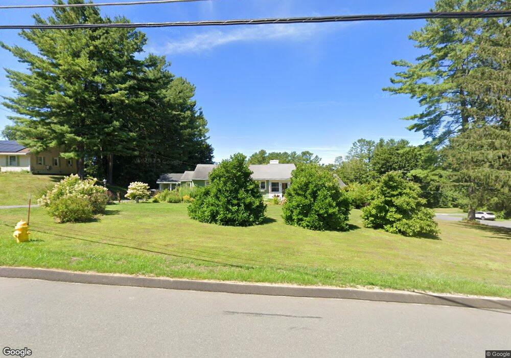
42 Ann Dr Pittsfield, MA 01201
Estimated Value: $482,000 - $553,000
3
Beds
3
Baths
2,204
Sq Ft
$235/Sq Ft
Est. Value
About This Home
This home is located at 42 Ann Dr, Pittsfield, MA 01201 and is currently estimated at $517,710, approximately $234 per square foot. 42 Ann Dr is a home located in Berkshire County with nearby schools including Williams Elementary School, Theodore Herberg Middle School, and Pittsfield High School.
Ownership History
Date
Name
Owned For
Owner Type
Purchase Details
Closed on
May 7, 1999
Sold by
Stevens Daniel F and Burbank Kelton M
Bought by
Allen Gary P
Current Estimated Value
Home Financials for this Owner
Home Financials are based on the most recent Mortgage that was taken out on this home.
Original Mortgage
$100,000
Outstanding Balance
$25,581
Interest Rate
6.92%
Mortgage Type
Purchase Money Mortgage
Estimated Equity
$492,129
Create a Home Valuation Report for This Property
The Home Valuation Report is an in-depth analysis detailing your home's value as well as a comparison with similar homes in the area
Home Values in the Area
Average Home Value in this Area
Purchase History
| Date | Buyer | Sale Price | Title Company |
|---|---|---|---|
| Allen Gary P | $140,000 | -- | |
| Allen Gary P | $140,000 | -- |
Source: Public Records
Mortgage History
| Date | Status | Borrower | Loan Amount |
|---|---|---|---|
| Open | Allen Gary P | $100,000 | |
| Closed | Allen Gary P | $100,000 |
Source: Public Records
Tax History Compared to Growth
Tax History
| Year | Tax Paid | Tax Assessment Tax Assessment Total Assessment is a certain percentage of the fair market value that is determined by local assessors to be the total taxable value of land and additions on the property. | Land | Improvement |
|---|---|---|---|---|
| 2025 | $8,256 | $460,200 | $79,200 | $381,000 |
| 2024 | $7,441 | $403,300 | $79,200 | $324,100 |
| 2023 | $6,854 | $374,100 | $79,200 | $294,900 |
| 2022 | $6,292 | $339,000 | $79,200 | $259,800 |
| 2021 | $5,785 | $300,500 | $79,200 | $221,300 |
| 2020 | $5,775 | $293,000 | $79,200 | $213,800 |
| 2019 | $5,587 | $287,700 | $79,200 | $208,500 |
| 2018 | $5,561 | $277,900 | $74,200 | $203,700 |
| 2017 | $5,410 | $275,600 | $79,200 | $196,400 |
| 2016 | $5,420 | $288,900 | $79,200 | $209,700 |
| 2015 | $5,218 | $288,900 | $79,200 | $209,700 |
Source: Public Records
Map
Nearby Homes
- 787 Williams St
- 76 Alfred Dr
- 50 Bellmore Dr
- 59 Bellmore Dr
- 59 Joan Dr
- 64 & 68 Brookside Dr
- 932 Williams St
- 26 Filomena Dr
- 4 Filomena Dr
- 989 Williams St
- 165 Harryel St
- 171 Harryel St
- 25 E New Lenox Rd
- 225 Karen Dr
- 64 Elaine Dr
- 204 Harryel St
- 215 Pine Grove Dr
- 210 Pine Grove Dr
- 157 Maple Grove Dr
- 411 E New Lenox Rd